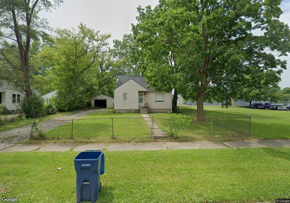
3919 Huggins Ave Flint, MI 48506
Potter Longway NeighborhoodEstimated Value: $62,488 - $86,000
2
Beds
2
Baths
852
Sq Ft
$85/Sq Ft
Est. Value
About This Home
This home is located at 3919 Huggins Ave, Flint, MI 48506 and is currently estimated at $72,122, approximately $84 per square foot. 3919 Huggins Ave is a home located in Genesee County with nearby schools including Potter School, Richfield Public School Academy, and Richfield Early Learning Center.
Ownership History
Date
Name
Owned For
Owner Type
Purchase Details
Closed on
Aug 28, 2018
Sold by
Genesse County Land Bank Authority
Bought by
Rosebum Cody Roger
Current Estimated Value
Purchase Details
Closed on
Dec 20, 2013
Sold by
Genesee County Treasurer
Bought by
Genesee County Land Bank
Purchase Details
Closed on
Jun 12, 2001
Sold by
Markley Valerie
Bought by
Bentley John M and Bentley Marie L
Purchase Details
Closed on
May 3, 2000
Sold by
Armstrong D
Bought by
Associates Financial Services Co Inc
Create a Home Valuation Report for This Property
The Home Valuation Report is an in-depth analysis detailing your home's value as well as a comparison with similar homes in the area
Home Values in the Area
Average Home Value in this Area
Purchase History
| Date | Buyer | Sale Price | Title Company |
|---|---|---|---|
| Rosebum Cody Roger | -- | None Available | |
| Genesee County Land Bank | -- | None Available | |
| Bentley John M | -- | Guaranty Title Company | |
| Associates Financial Services Co Inc | -- | Sargents Title Company | |
| Associates Financial Services Inc | $44,900 | Sargents Title Company |
Source: Public Records
Tax History
| Year | Tax Paid | Tax Assessment Tax Assessment Total Assessment is a certain percentage of the fair market value that is determined by local assessors to be the total taxable value of land and additions on the property. | Land | Improvement |
|---|---|---|---|---|
| 2025 | $1,239 | $28,400 | $0 | $0 |
| 2024 | $1,145 | $21,300 | $0 | $0 |
| 2023 | $1,118 | $16,500 | $0 | $0 |
| 2022 | $0 | $13,400 | $0 | $0 |
| 2021 | $1,134 | $12,600 | $0 | $0 |
| 2020 | $1,041 | $11,800 | $0 | $0 |
| 2019 | $1,055 | $12,200 | $0 | $0 |
| 2018 | $0 | $0 | $0 | $0 |
| 2017 | $0 | $0 | $0 | $0 |
| 2016 | $0 | $0 | $0 | $0 |
| 2015 | -- | $0 | $0 | $0 |
| 2014 | -- | $0 | $0 | $0 |
| 2012 | -- | $11,700 | $0 | $0 |
Source: Public Records
Map
Nearby Homes
- 00 Richfield Rd
- 3705 Aldon Ln
- 3294 Huggins Ave
- 3210 Wyoming Ave
- 3734 Craig Dr
- 3006 Agree Ave
- 3118 Wyoming Ave
- 2935 Richfield Rd
- 3413 Dakota Ave
- 3010 Wyoming Ave
- 3602 Dakota Ave
- 3314 Dakota Ave
- 3364 E Pierson Rd
- 2274 N Center Rd
- 3456 E Pierson Rd
- 3018 Dakota Ave
- 2719 Branch Rd
- 3814 Beechwood Ave
- 4253 Potter Rd
- 2446 Lanning Dr
- 3905 Huggins Ave
- 3907 Huggins Ave
- 3901 Huggins Ave
- 3602 Richfield Rd
- 3819 Huggins Ave
- 3608 Richfield Rd
- 3920 Huggins Ave
- 3914 Huggins Ave
- 3908 Huggins Ave
- 3614 Richfield Rd
- 3811 Huggins Ave
- 3902 Huggins Ave
- 3520 Richfield Rd
- 3402 Richfield Rd
- 3820 Huggins Ave
- 3807 Huggins Ave
- 3814 Huggins Ave
- 3620 Richfield Rd
- 3808 Huggins Ave
- 3801 Huggins Ave
Your Personal Tour Guide
Ask me questions while you tour the home.