3919 Rosalind Dr Rootstown, OH 44272
Estimated Value: $242,000 - $344,000
5
Beds
2
Baths
2,264
Sq Ft
$127/Sq Ft
Est. Value
About This Home
This home is located at 3919 Rosalind Dr, Rootstown, OH 44272 and is currently estimated at $287,223, approximately $126 per square foot. 3919 Rosalind Dr is a home located in Portage County with nearby schools including Rootstown Middle School - Schnee Building and Rootstown High School.
Ownership History
Date
Name
Owned For
Owner Type
Purchase Details
Closed on
Aug 7, 2015
Sold by
Cunningham Kevin L and Cunningham Deanne M
Bought by
Liddle James E
Current Estimated Value
Home Financials for this Owner
Home Financials are based on the most recent Mortgage that was taken out on this home.
Original Mortgage
$132,554
Outstanding Balance
$104,182
Interest Rate
4.01%
Mortgage Type
FHA
Estimated Equity
$183,041
Purchase Details
Closed on
May 23, 2003
Sold by
Brown David L and Brown Georgia E
Bought by
Cunningham Kevin L and Cunningham Deanne M
Home Financials for this Owner
Home Financials are based on the most recent Mortgage that was taken out on this home.
Original Mortgage
$119,400
Interest Rate
5.95%
Mortgage Type
Purchase Money Mortgage
Purchase Details
Closed on
Mar 29, 1994
Bought by
Brown David L and Brown Georgia
Create a Home Valuation Report for This Property
The Home Valuation Report is an in-depth analysis detailing your home's value as well as a comparison with similar homes in the area
Purchase History
| Date | Buyer | Sale Price | Title Company |
|---|---|---|---|
| Liddle James E | $135,000 | Nova Title Agency Inc | |
| Cunningham Kevin L | $140,500 | Midland Commerce Group Fairl | |
| Brown David L | -- | -- |
Source: Public Records
Mortgage History
| Date | Status | Borrower | Loan Amount |
|---|---|---|---|
| Open | Liddle James E | $132,554 | |
| Previous Owner | Cunningham Kevin L | $119,400 |
Source: Public Records
Tax History
| Year | Tax Paid | Tax Assessment Tax Assessment Total Assessment is a certain percentage of the fair market value that is determined by local assessors to be the total taxable value of land and additions on the property. | Land | Improvement |
|---|---|---|---|---|
| 2024 | $2,755 | $68,570 | $7,460 | $61,110 |
| 2023 | $2,506 | $55,730 | $7,460 | $48,270 |
| 2022 | $2,478 | $55,730 | $7,460 | $48,270 |
| 2021 | $2,479 | $55,730 | $7,460 | $48,270 |
| 2020 | $2,489 | $46,380 | $7,460 | $38,920 |
| 2019 | $3,584 | $46,380 | $7,460 | $38,920 |
| 2017 | $2,650 | $39,900 | $8,890 | $31,010 |
| 2016 | $2,544 | $39,900 | $8,890 | $31,010 |
Source: Public Records
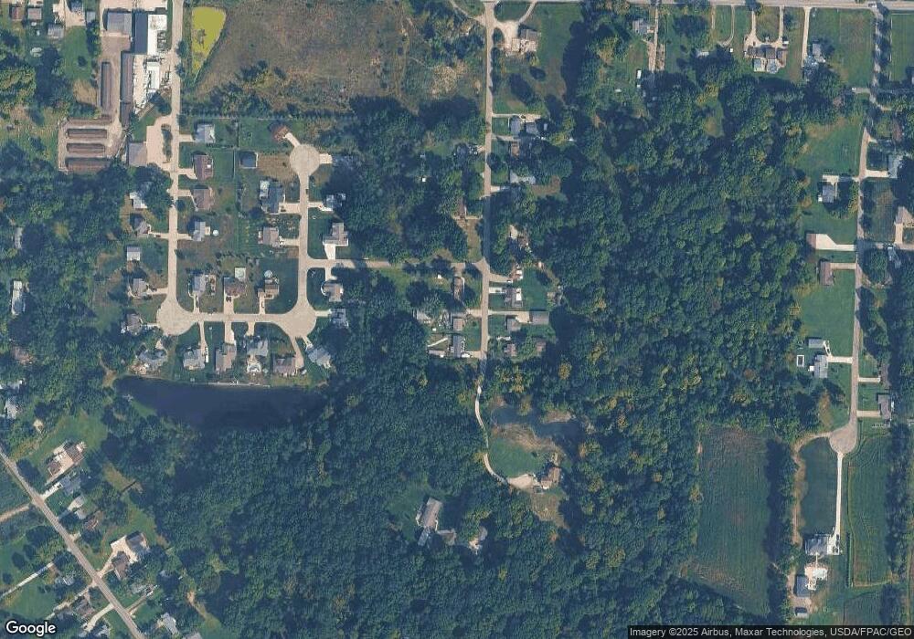
Map
Nearby Homes
- 3689 Cherry Hill
- 4312 Apple Orchard
- 3701 State Route 44
- 0 Lynn Rd Unit 5110102
- 4225 Hattrick Rd
- V/L 2 Lynn Rd
- V/L Lynn Rd
- 4415 Farmette Dr
- 4691 Scenic Dr
- sub lot Lane Ave
- 3637 Old Forge Rd
- 3021 Hartville Rd
- 4140 Sandy Lake Rd
- 4058 Bayberry Knoll Ln
- 4958 Bassett Rd
- 4087 Industry
- 3925 Summit Rd
- 694 Summit Rd
- 2547 Industry Rd
- 3080 Saxe Rd
- 3909 Rosalind Dr
- V/L Rosalind
- 3908 Rosalind Dr
- 3928 Rosalind Dr
- 3938 Rosalind Dr
- 3918 Rosalind Dr
- 3950 Rosalind Dr
- 3961 Rosalind Dr
- 4400 Curtis Rd
- 4396 Shannon Dr
- 3960 Rosalind Dr
- 3965 Rosalind Dr
- 3962 Joshua Point
- 4401 Curtis Rd
- 3964 Rosalind Dr
- 3971 Rosalind Dr
- 3900 Rosalind Dr
- 3974 Rosalind Dr
- 4384 Shannon Dr
- 0 Joshua Point
Your Personal Tour Guide
Ask me questions while you tour the home.