Estimated Value: $156,000 - $259,000
--
Bed
--
Bath
1,708
Sq Ft
$126/Sq Ft
Est. Value
About This Home
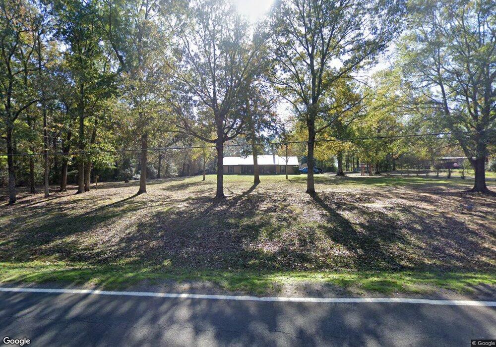
This home is located at 392 Highway 3118, Many, LA 71449 and is currently estimated at $215,710, approximately $126 per square foot. 392 Highway 3118 is a home located in Sabine Parish with nearby schools including Many Junior High School and Many High School.
Ownership History
Date
Name
Owned For
Owner Type
Purchase Details
Closed on
Oct 1, 2010
Sold by
Northcutt Dennis Wayne and Northcutt Mary Frances
Bought by
Northcutt Dennis Wayne and Northcutt Karen Deann Sepulvado
Current Estimated Value
Home Financials for this Owner
Home Financials are based on the most recent Mortgage that was taken out on this home.
Original Mortgage
$142,500
Outstanding Balance
$94,226
Interest Rate
4.39%
Mortgage Type
New Conventional
Estimated Equity
$121,484
Create a Home Valuation Report for This Property
The Home Valuation Report is an in-depth analysis detailing your home's value as well as a comparison with similar homes in the area
Home Values in the Area
Average Home Value in this Area
Purchase History
| Date | Buyer | Sale Price | Title Company |
|---|---|---|---|
| Northcutt Dennis Wayne | $150,000 | None Available |
Source: Public Records
Mortgage History
| Date | Status | Borrower | Loan Amount |
|---|---|---|---|
| Open | Northcutt Dennis Wayne | $142,500 |
Source: Public Records
Tax History Compared to Growth
Tax History
| Year | Tax Paid | Tax Assessment Tax Assessment Total Assessment is a certain percentage of the fair market value that is determined by local assessors to be the total taxable value of land and additions on the property. | Land | Improvement |
|---|---|---|---|---|
| 2024 | $816 | $18,115 | $2,200 | $15,915 |
| 2023 | $638 | $15,923 | $1,500 | $14,423 |
| 2022 | $1,335 | $15,923 | $1,500 | $14,423 |
| 2021 | $1,435 | $15,923 | $1,500 | $14,423 |
| 2020 | $1,559 | $15,923 | $1,500 | $14,423 |
| 2019 | $1,510 | $15,923 | $1,500 | $14,423 |
| 2018 | $869 | $8,710 | $1,290 | $7,420 |
| 2017 | $866 | $8,710 | $1,290 | $7,420 |
| 2016 | $861 | $8,710 | $1,290 | $7,420 |
| 2015 | $118 | $8,710 | $1,290 | $7,420 |
| 2014 | $118 | $8,710 | $1,290 | $7,420 |
Source: Public Records
Map
Nearby Homes
- 176 Colston Rd
- 365 Monk Dr
- 2348 Natchitoches Hwy
- 444 C B Byrd Rd
- 222 Rae Rd
- 260 Cobb Dr
- 109 Pleasant Dr
- 1113 Alieze St
- 202 Middle Creek Rd
- 245 Marthaville Rd
- 275 Marthaville Rd
- 295 Highland Ave
- 1220 San Antonio Ave
- TBD Route 6
- 00 Chasin Fin Dr Unit 5
- 135 Jarred Ln Unit 27
- 00 Chasin Fin Dr Unit 2
- 00 Chasin Fin Dr Unit 4
- 00 Chasin Fin Dr Unit 7
- 0 Chasin Fin Dr Unit 1 11419405
- 2842 Zachary Taylor Rd
- 334 Highway 3118
- 334 Highway 3118
- 334 Highway 3118
- 86 Milford Ln
- 2814 Zachary Taylor Rd
- 2840 Zachary Taylor Rd
- 18 Milford Ln
- 2838 Zachary Taylor Rd
- 34 Milford Ln
- 2869 Zachary Taylor Rd
- 2855 Zachary Taylor Rd
- 2909 Zachary Taylor Rd
- 2837 Zachary Taylor Rd
- 2803 Zachary Taylor Rd
- 527 Highway 3118
- 2770 Zachary Taylor Rd
- 2795 Zachary Taylor Rd
- 225 Highway 3118
- 122 Jim Bell Rd