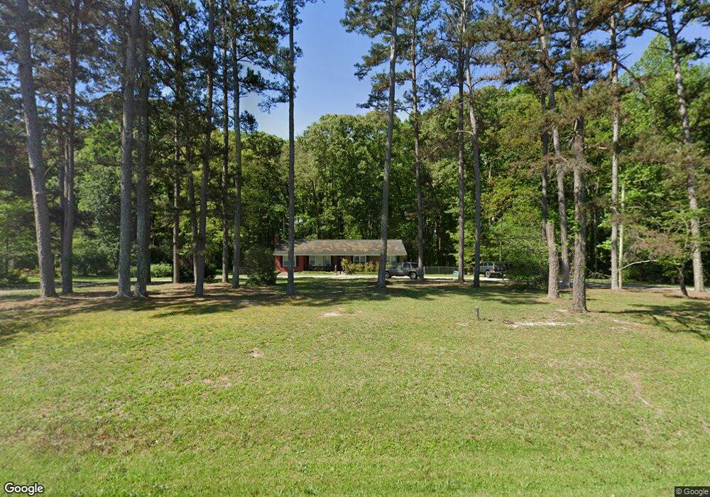
392 Highway 98 E Danielsville, GA 30633
Estimated Value: $230,689 - $291,000
2
Beds
2
Baths
1,500
Sq Ft
$175/Sq Ft
Est. Value
About This Home
This home is located at 392 Highway 98 E, Danielsville, GA 30633 and is currently estimated at $263,172, approximately $175 per square foot. 392 Highway 98 E is a home located in Madison County with nearby schools including Madison County High School.
Ownership History
Date
Name
Owned For
Owner Type
Purchase Details
Closed on
Dec 19, 2017
Sold by
Chandler George
Bought by
Shoal Lily Llc
Current Estimated Value
Purchase Details
Closed on
May 7, 2011
Sold by
Sartain William L
Bought by
Chandler George A and Chandler Patricia A
Purchase Details
Closed on
May 29, 2009
Sold by
Griffeth Phillip Comer
Bought by
Sartain William L and Sartain Judy Lynne S
Purchase Details
Closed on
Jan 1, 1989
Bought by
Griffeth Jo Neal
Create a Home Valuation Report for This Property
The Home Valuation Report is an in-depth analysis detailing your home's value as well as a comparison with similar homes in the area
Home Values in the Area
Average Home Value in this Area
Purchase History
| Date | Buyer | Sale Price | Title Company |
|---|---|---|---|
| Shoal Lily Llc | $121,000 | -- | |
| Chandler George A | $120,000 | -- | |
| Sartain William L | $90,000 | -- | |
| Griffeth Phillip Comer | -- | -- | |
| Griffeth Jo Neal | -- | -- |
Source: Public Records
Tax History Compared to Growth
Tax History
| Year | Tax Paid | Tax Assessment Tax Assessment Total Assessment is a certain percentage of the fair market value that is determined by local assessors to be the total taxable value of land and additions on the property. | Land | Improvement |
|---|---|---|---|---|
| 2024 | $1,641 | $63,046 | $9,768 | $53,278 |
| 2023 | $1,508 | $57,934 | $8,140 | $49,794 |
| 2022 | $1,367 | $49,548 | $5,596 | $43,952 |
| 2021 | $1,202 | $39,367 | $5,596 | $33,771 |
| 2020 | $1,185 | $38,553 | $4,782 | $33,771 |
| 2019 | $1,176 | $37,808 | $4,782 | $33,026 |
| 2018 | $1,137 | $36,468 | $4,374 | $32,094 |
| 2017 | $863 | $29,963 | $4,070 | $25,893 |
| 2016 | $732 | $25,500 | $3,699 | $21,801 |
| 2015 | $732 | $25,500 | $3,699 | $21,801 |
| 2014 | $739 | $25,569 | $3,718 | $21,850 |
| 2013 | -- | $25,569 | $3,718 | $21,850 |
Source: Public Records
Map
Nearby Homes
- 0 Colbert Danielsville Lot 12 Rd
- 0 Colbert Danielsville Lot 10 Rd
- 0 Colbert Danielsville Lot 11 Rd
- 430 Sherwood Cir
- 00 Highway 29 Unit A
- 105 Georgia 98
- 255 Hillwood Dr Unit 1
- 0 Veterans Dr Unit 10462425
- 0 Veterans Dr Unit 10462434
- 0 Veterans Dr Unit 10462428
- 0 Veterans Dr Unit 10462420
- 0 Veterans Dr Unit 10462408
- 0 Veterans Dr Unit 10462402
- 170 Northridge Dr
- 150 Northridge Dr Unit 3
- 150 Northridge Dr
- 140 Northridge Dr
- 140 Northridge Dr Unit 6
- 112 Northridge Dr Unit 8
- 112 Northridge Dr
- 392 Hwy 98e
- 426 Highway 98 E
- 426 Georgia 98
- 340 Highway 98 E
- 340 Highway 98 E
- 340 Highway 98 E
- 340 Hwy 98e
- 273 Highway 98 E
- 273 Highway 98 E
- 479 Highway 98 E
- 0 Sunset Dr Unit 3159389
- 549 Highway 98 E
- 247 Highway 98 E
- 1 Mama B Dr
- 240 Highway 98 E
- 548 Highway 98 E
- 553 Georgia 98
- 227 Hwy 98e
- 227 Highway 98 E
- 209 Mama B Dr