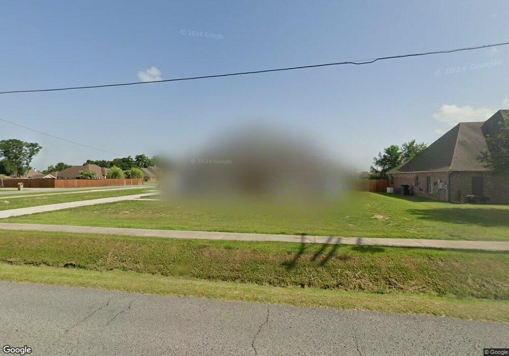
392 Moulin Rd Broussard, LA 70518
Estimated Value: $109,000 - $424,000
Studio
--
Bath
--
Sq Ft
20,473
Sq Ft Lot
About This Home
This home is located at 392 Moulin Rd, Broussard, LA 70518 and is currently estimated at $313,580. 392 Moulin Rd is a home located in Lafayette Parish with nearby schools including Katharine Drexel Elementary School, Martial Billeaud Elementary School, and Broussard Middle School.
Ownership History
Date
Name
Owned For
Owner Type
Purchase Details
Closed on
Sep 20, 2019
Sold by
Legnon Jason Paul
Bought by
Mannting Erik Jordan and Mannting Haley Palmer
Current Estimated Value
Home Financials for this Owner
Home Financials are based on the most recent Mortgage that was taken out on this home.
Original Mortgage
$60,000
Outstanding Balance
$52,447
Interest Rate
3.5%
Mortgage Type
New Conventional
Estimated Equity
$261,133
Purchase Details
Closed on
Apr 2, 2015
Sold by
Regan Dwayne Kent
Bought by
Legnon Jason P
Purchase Details
Closed on
Jul 23, 2013
Sold by
Moulin Cove Llc
Bought by
Regan Dwayne Kent and Regan Lisa G
Home Financials for this Owner
Home Financials are based on the most recent Mortgage that was taken out on this home.
Original Mortgage
$48,750
Interest Rate
3.94%
Mortgage Type
Unknown
Create a Home Valuation Report for This Property
The Home Valuation Report is an in-depth analysis detailing your home's value as well as a comparison with similar homes in the area
Home Values in the Area
Average Home Value in this Area
Purchase History
| Date | Buyer | Sale Price | Title Company |
|---|---|---|---|
| Mannting Erik Jordan | $60,000 | Standard Title | |
| Legnon Jason P | $63,000 | None Available | |
| Regan Dwayne Kent | $48,750 | Multiple |
Source: Public Records
Mortgage History
| Date | Status | Borrower | Loan Amount |
|---|---|---|---|
| Open | Mannting Erik Jordan | $60,000 | |
| Previous Owner | Regan Dwayne Kent | $48,750 |
Source: Public Records
Tax History
| Year | Tax Paid | Tax Assessment Tax Assessment Total Assessment is a certain percentage of the fair market value that is determined by local assessors to be the total taxable value of land and additions on the property. | Land | Improvement |
|---|---|---|---|---|
| 2024 | $2,656 | $30,641 | $5,153 | $25,488 |
| 2023 | $2,656 | $29,697 | $5,153 | $24,544 |
| 2022 | $445 | $5,153 | $5,153 | $0 |
| 2021 | $447 | $5,153 | $5,153 | $0 |
| 2020 | $447 | $5,153 | $5,153 | $0 |
| 2019 | $425 | $5,153 | $5,153 | $0 |
| 2018 | $434 | $5,153 | $5,153 | $0 |
| 2017 | $345 | $4,100 | $4,100 | $0 |
| 2015 | $344 | $4,100 | $4,100 | $0 |
| 2013 | -- | $4,100 | $4,100 | $0 |
Source: Public Records
Map
Nearby Homes
- 7600 Ambassador Caffery Pkwy
- 6706 Ambassador Caffery Pkwy
- 000 Ambassador Caffery Pkwy
- 119 Nellies Ln
- 1000 S Morgan Ave
- 105 Reservoir Rd
- 1026 S Morgan Ave
- 400 Habitat Ridge
- 405 Habitat Ridge Dr
- 100 La Rue Malaga
- 123 Dustin Cir
- 1000 S Blk Morgan Ave
- 100 Fallow Ln
- 7000 Blk Ambassador Caffery Pkwy
- 307 & 305 Oakview Dr
- 823 S Morgan Ave
- 1320 S Morgan Ave
- 207 Leon St
- 102-1 Albertson Pkwy
- 500 Albertson Pkwy
Your Personal Tour Guide
Ask me questions while you tour the home.