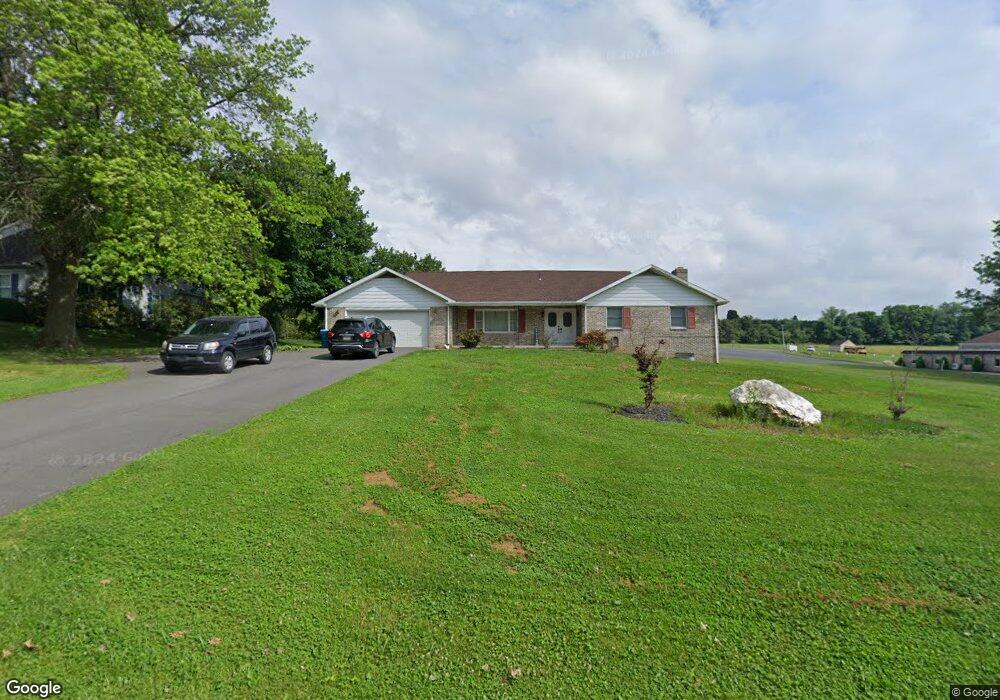
3920 Farm Dr York, PA 17402
Stonybrook-Wilshire NeighborhoodEstimated Value: $310,000 - $326,000
2
Beds
1
Bath
1,744
Sq Ft
$183/Sq Ft
Est. Value
About This Home
This home is located at 3920 Farm Dr, York, PA 17402 and is currently estimated at $320,000, approximately $183 per square foot. 3920 Farm Dr is a home located in York County with nearby schools including Locust Grove Elementary School, Red Lion Area Junior High School, and Red Lion Area Senior High School.
Ownership History
Date
Name
Owned For
Owner Type
Purchase Details
Closed on
Jan 29, 2001
Sold by
Denlinger Leon H and Denlinger Donalene L
Bought by
The Praise Center and Christ The Rock Lighthouse Ministry
Current Estimated Value
Home Financials for this Owner
Home Financials are based on the most recent Mortgage that was taken out on this home.
Original Mortgage
$300,000
Outstanding Balance
$108,851
Interest Rate
7.14%
Estimated Equity
$211,149
Purchase Details
Closed on
Apr 4, 1986
Bought by
Denlinger Leon H and Denlinger Mary A
Create a Home Valuation Report for This Property
The Home Valuation Report is an in-depth analysis detailing your home's value as well as a comparison with similar homes in the area
Home Values in the Area
Average Home Value in this Area
Purchase History
| Date | Buyer | Sale Price | Title Company |
|---|---|---|---|
| The Praise Center | $130,000 | -- | |
| Denlinger Leon H | $78,500 | -- |
Source: Public Records
Mortgage History
| Date | Status | Borrower | Loan Amount |
|---|---|---|---|
| Open | The Praise Center | $300,000 |
Source: Public Records
Tax History Compared to Growth
Tax History
| Year | Tax Paid | Tax Assessment Tax Assessment Total Assessment is a certain percentage of the fair market value that is determined by local assessors to be the total taxable value of land and additions on the property. | Land | Improvement |
|---|---|---|---|---|
| 2025 | $4,765 | $152,420 | $38,860 | $113,560 |
| 2024 | $4,577 | $152,420 | $38,860 | $113,560 |
| 2023 | $4,577 | $152,420 | $38,860 | $113,560 |
| 2022 | $4,577 | $152,420 | $38,860 | $113,560 |
| 2021 | $4,447 | $152,420 | $38,860 | $113,560 |
| 2020 | $4,447 | $152,420 | $38,860 | $113,560 |
| 2019 | $4,432 | $152,420 | $38,860 | $113,560 |
| 2018 | $4,409 | $152,420 | $38,860 | $113,560 |
| 2017 | $4,371 | $152,420 | $38,860 | $113,560 |
| 2016 | $0 | $152,420 | $38,860 | $113,560 |
| 2015 | -- | $152,420 | $38,860 | $113,560 |
| 2014 | -- | $152,420 | $38,860 | $113,560 |
Source: Public Records
Map
Nearby Homes
- 731 Locust Grove Rd
- 4049 Woodspring Ln Unit 4049
- 4117 Woodspring Ln Unit 4117
- 970 Castle Pond Dr
- 4079 Wilshire Dr
- 15 Nina Dr
- 3450 Blackfriar Ln
- 3673 Regency Ln
- 409 White Rose Ln
- 3525 Pebble Ridge Dr
- 423 White Rose Ln
- 4220 Peach Orchard Hollow
- 4135 Camberlay Dr
- 4230 Peach Orchard Hollow
- 3704 Skipton Cir
- 4119 Greywood Dr
- 3395 Cranmere Ln
- 950 Cape Horn Rd
- 415 Folkstone Ct
- 385 Folkstone Way
- 3922 Farm Dr
- 3935 Farm Dr
- 3945 Farm Dr
- 3925 Farm Dr
- 3924 Farm Dr
- 3915 Farm Dr
- 3970 Barachel Dr
- 3985 Barachel Dr
- 3975 Barachel Dr
- Parcel # 0072 Farm Dr
- 3956 Barachel Dr
- 900 Locust Grove Rd
- 3905 Farm Dr
- 888 Locust Grove Rd
- 3965 Barachel Dr
- 920 Locust Grove Rd
- 3936 Barachel Dr
- 3928 Barachel Dr
- 880 Locust Grove Rd
- 860 Locust Grove Rd