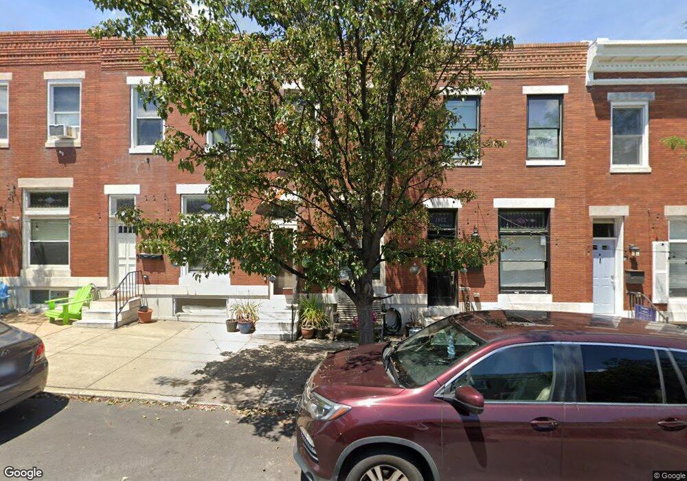
3920 Foster Ave Baltimore, MD 21224
Brewers Hill NeighborhoodEstimated Value: $318,000 - $333,137
--
Bed
2
Baths
1,342
Sq Ft
$243/Sq Ft
Est. Value
About This Home
This home is located at 3920 Foster Ave, Baltimore, MD 21224 and is currently estimated at $325,569, approximately $242 per square foot. 3920 Foster Ave is a home located in Baltimore City with nearby schools including Booker T. Washington Middle School, Patterson High School, and Paul Laurence Dunbar High School.
Ownership History
Date
Name
Owned For
Owner Type
Purchase Details
Closed on
Sep 6, 2007
Sold by
Townshend Brion H
Bought by
Townshend Brion H and Townshend Allison M
Current Estimated Value
Home Financials for this Owner
Home Financials are based on the most recent Mortgage that was taken out on this home.
Original Mortgage
$107,500
Outstanding Balance
$68,548
Interest Rate
6.71%
Mortgage Type
New Conventional
Estimated Equity
$257,021
Purchase Details
Closed on
Nov 9, 1999
Sold by
Costantino Giovanni
Bought by
Townshend Brion H and Cauthorn Allison M
Create a Home Valuation Report for This Property
The Home Valuation Report is an in-depth analysis detailing your home's value as well as a comparison with similar homes in the area
Home Values in the Area
Average Home Value in this Area
Purchase History
| Date | Buyer | Sale Price | Title Company |
|---|---|---|---|
| Townshend Brion H | -- | -- | |
| Townshend Brion H | $55,000 | -- |
Source: Public Records
Mortgage History
| Date | Status | Borrower | Loan Amount |
|---|---|---|---|
| Open | Townshend Brion H | $107,500 |
Source: Public Records
Tax History Compared to Growth
Tax History
| Year | Tax Paid | Tax Assessment Tax Assessment Total Assessment is a certain percentage of the fair market value that is determined by local assessors to be the total taxable value of land and additions on the property. | Land | Improvement |
|---|---|---|---|---|
| 2025 | $2,658 | $250,600 | $80,000 | $170,600 |
| 2024 | $2,658 | $247,100 | $0 | $0 |
| 2023 | $2,532 | $243,600 | $0 | $0 |
| 2022 | $2,448 | $240,100 | $80,000 | $160,100 |
| 2021 | $5,459 | $231,300 | $0 | $0 |
| 2020 | $2,221 | $222,500 | $0 | $0 |
| 2019 | $2,181 | $213,700 | $80,000 | $133,700 |
| 2018 | $2,141 | $208,500 | $0 | $0 |
| 2017 | $2,092 | $203,300 | $0 | $0 |
| 2016 | $1,846 | $198,100 | $0 | $0 |
| 2015 | $1,846 | $198,100 | $0 | $0 |
| 2014 | $1,846 | $198,100 | $0 | $0 |
Source: Public Records
Map
Nearby Homes
- 3918 Foster Ave
- 3916 Foster Ave
- 3924 Foster Ave
- 3914 Foster Ave
- 3926 Foster Ave
- 634 Grundy St
- 3912 Foster Ave
- 632 Grundy St
- 3910 Foster Ave
- 630 Grundy St
- 3908 Foster Ave
- 0 Es 12 Ft Alley Alley
- 0 Es 12ft Alley Alley Unit MDBA2019542
- 628 Grundy St
- 3906 Foster Ave
- 0 12ft Es Alley Alley Unit MDBA2043204
- 626 Grundy St
- 3904 Foster Ave
- 618 Grundy St
- 3902 Foster Ave