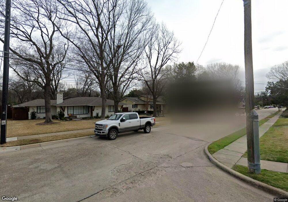
3920 Frontier Ln Dallas, TX 75214
Lakewood NeighborhoodEstimated Value: $1,387,000 - $1,552,000
3
Beds
4
Baths
2,987
Sq Ft
$491/Sq Ft
Est. Value
About This Home
This home is located at 3920 Frontier Ln, Dallas, TX 75214 and is currently estimated at $1,465,403, approximately $490 per square foot. 3920 Frontier Ln is a home located in Dallas County with nearby schools including Lakewood Elementary School, J L Long Middle School, and Woodrow Wilson High School.
Ownership History
Date
Name
Owned For
Owner Type
Purchase Details
Closed on
May 15, 2015
Sold by
Fitts Jaclyn
Bought by
Neilson Michael A and Neilson Heather S
Current Estimated Value
Home Financials for this Owner
Home Financials are based on the most recent Mortgage that was taken out on this home.
Original Mortgage
$512,000
Outstanding Balance
$394,855
Interest Rate
3.71%
Mortgage Type
New Conventional
Estimated Equity
$1,070,548
Purchase Details
Closed on
Dec 14, 2007
Sold by
Livingston Mark G and Livingston Ann
Bought by
Swayze Smith Cynthia D and Smith John
Home Financials for this Owner
Home Financials are based on the most recent Mortgage that was taken out on this home.
Original Mortgage
$570,000
Interest Rate
6.25%
Mortgage Type
Purchase Money Mortgage
Purchase Details
Closed on
Aug 30, 2002
Sold by
Orr Dennis W and Orr Brooke K
Bought by
Livingston Mark G
Home Financials for this Owner
Home Financials are based on the most recent Mortgage that was taken out on this home.
Original Mortgage
$300,700
Interest Rate
6.33%
Purchase Details
Closed on
Jun 14, 1999
Sold by
Cicero Mark A
Bought by
Orr Dennis W and Orr Brooke K
Home Financials for this Owner
Home Financials are based on the most recent Mortgage that was taken out on this home.
Original Mortgage
$294,400
Interest Rate
7.02%
Purchase Details
Closed on
Sep 10, 1998
Sold by
Hagan Vincent De P and Hagan Fay A
Bought by
Cicero Mark A
Home Financials for this Owner
Home Financials are based on the most recent Mortgage that was taken out on this home.
Original Mortgage
$139,500
Interest Rate
6.93%
Purchase Details
Closed on
Apr 9, 1997
Sold by
Holt J N
Bought by
Fagan Fay A
Home Financials for this Owner
Home Financials are based on the most recent Mortgage that was taken out on this home.
Original Mortgage
$250,000
Interest Rate
6%
Purchase Details
Closed on
Jan 27, 1994
Sold by
Federal Home Loan Mortgage Corporation
Bought by
Hagan Vincent D
Create a Home Valuation Report for This Property
The Home Valuation Report is an in-depth analysis detailing your home's value as well as a comparison with similar homes in the area
Home Values in the Area
Average Home Value in this Area
Purchase History
| Date | Buyer | Sale Price | Title Company |
|---|---|---|---|
| Neilson Michael A | -- | Itc | |
| Swayze Smith Cynthia D | -- | Ctic | |
| Livingston Mark G | -- | -- | |
| Orr Dennis W | -- | -- | |
| Cicero Mark A | -- | -- | |
| Fagan Fay A | -- | -- | |
| Hagan Vincent D | -- | -- |
Source: Public Records
Mortgage History
| Date | Status | Borrower | Loan Amount |
|---|---|---|---|
| Open | Neilson Michael A | $512,000 | |
| Previous Owner | Swayze Smith Cynthia D | $570,000 | |
| Previous Owner | Livingston Mark G | $300,700 | |
| Previous Owner | Orr Dennis W | $294,400 | |
| Previous Owner | Cicero Mark A | $139,500 | |
| Previous Owner | Fagan Fay A | $250,000 | |
| Closed | Livingston Mark G | $86,000 |
Source: Public Records
Tax History Compared to Growth
Tax History
| Year | Tax Paid | Tax Assessment Tax Assessment Total Assessment is a certain percentage of the fair market value that is determined by local assessors to be the total taxable value of land and additions on the property. | Land | Improvement |
|---|---|---|---|---|
| 2025 | $17,172 | $1,322,000 | $836,850 | $485,150 |
| 2024 | $17,172 | $1,322,000 | $836,850 | $485,150 |
| 2023 | $17,172 | $875,000 | $573,840 | $301,160 |
| 2022 | $22,178 | $887,000 | $573,840 | $313,160 |
| 2021 | $19,681 | $746,050 | $487,760 | $258,290 |
| 2020 | $20,239 | $746,050 | $487,760 | $258,290 |
| 2019 | $21,227 | $746,050 | $487,760 | $258,290 |
| 2018 | $18,500 | $680,360 | $401,690 | $278,670 |
| 2017 | $17,403 | $640,000 | $401,690 | $238,310 |
| 2016 | $17,403 | $640,000 | $401,690 | $238,310 |
| 2015 | $13,775 | $608,920 | $344,300 | $264,620 |
| 2014 | $13,775 | $601,350 | $224,160 | $377,190 |
Source: Public Records
Map
Nearby Homes
- 3932 Frontier Ln
- 6932 Chantilly Ct
- 7007 Irongate Ln
- 6742 Williamson Rd
- 4010 Sperry St
- 6906 Redstart Ln
- 7034 Irongate Ln
- 6757 Lakefair Cir
- 6905 Northridge Dr
- 6728 Winton St
- 6804 Santa Maria Ln
- 6833 Northridge Dr
- 6625 Bob o Link Dr
- 6842 Merrilee Ln
- 3944 Dalgreen Dr
- 6612 E Mockingbird Ln
- 6814 Southridge Dr
- 4323 Ashford Dr
- 7233 Brennans Dr
- 6720 Braeburn Dr
- 3926 Frontier Ln
- 3914 Frontier Ln
- 3908 Frontier Ln
- 3923 Frontier Ln
- 3915 Frontier Ln
- 3902 Frontier Ln
- 3938 Frontier Ln
- 3909 Frontier Ln
- 3933 Frontier Ln
- 3830 Frontier Ln
- 3903 Frontier Ln
- 3944 Frontier Ln
- 6946 Ellsworth Ave
- 6981 Kenwood Ave
- 3939 Frontier Ln
- 3824 Frontier Ln
- 6975 Kenwood Ave
- 6992 Kenwood Ave
- 6942 Ellsworth Ave
- 6947 Ellsworth Ave