3920 Glenwood Ct Unit 182 Auburn Hills, MI 48326
Estimated Value: $490,100 - $522,000
3
Beds
3
Baths
1,801
Sq Ft
$278/Sq Ft
Est. Value
About This Home
This home is located at 3920 Glenwood Ct Unit 182, Auburn Hills, MI 48326 and is currently estimated at $500,275, approximately $277 per square foot. 3920 Glenwood Ct Unit 182 is a home located in Oakland County with nearby schools including Rogers Elementary, Pontiac Middle School, and Pontiac High School.
Ownership History
Date
Name
Owned For
Owner Type
Purchase Details
Closed on
Jul 18, 2014
Sold by
Manganello Madonna Marie
Bought by
Manganello Family Trust and Manganello
Current Estimated Value
Purchase Details
Closed on
Oct 4, 2005
Sold by
Moilanen Joann
Bought by
Manganello Madonna Marie
Purchase Details
Closed on
Dec 11, 2003
Sold by
Moilanen Jo Ann
Bought by
Moilanen Jo Ann and Jo Ann Moilanen Revocable Living Trust
Purchase Details
Closed on
Jan 29, 2001
Sold by
Heritage Of Auburn Hills
Bought by
Moilanen Joann
Create a Home Valuation Report for This Property
The Home Valuation Report is an in-depth analysis detailing your home's value as well as a comparison with similar homes in the area
Home Values in the Area
Average Home Value in this Area
Purchase History
| Date | Buyer | Sale Price | Title Company |
|---|---|---|---|
| Manganello Family Trust | -- | None Listed On Document | |
| Manganello Family Trust | -- | None Listed On Document | |
| Manganello Madonna Marie | $301,000 | Capital Title Ins Agency | |
| Moilanen Jo Ann | -- | -- | |
| Moilanen Joann | $301,800 | -- |
Source: Public Records
Tax History Compared to Growth
Tax History
| Year | Tax Paid | Tax Assessment Tax Assessment Total Assessment is a certain percentage of the fair market value that is determined by local assessors to be the total taxable value of land and additions on the property. | Land | Improvement |
|---|---|---|---|---|
| 2024 | $2,155 | $213,260 | $0 | $0 |
| 2023 | $2,056 | $187,910 | $0 | $0 |
| 2022 | $3,632 | $170,800 | $0 | $0 |
| 2021 | $3,574 | $167,760 | $0 | $0 |
| 2020 | $1,935 | $163,960 | $0 | $0 |
| 2019 | $3,281 | $161,870 | $0 | $0 |
| 2018 | $3,208 | $168,500 | $0 | $0 |
| 2017 | $2,860 | $157,260 | $0 | $0 |
| 2016 | $2,841 | $144,810 | $0 | $0 |
| 2015 | -- | $128,420 | $0 | $0 |
| 2014 | -- | $105,830 | $0 | $0 |
| 2011 | -- | $91,080 | $0 | $0 |
Source: Public Records
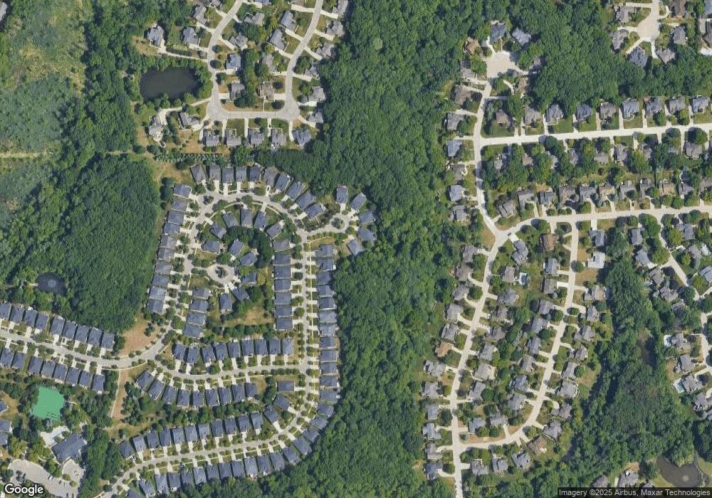
Map
Nearby Homes
- 3640 Camden Ct
- 3634 Camden Ct
- 4035 Hillsdale Dr Unit 275
- 3674 Merriweather Ln
- 3534 Riverside Dr Unit 141
- 3633 Thornwood Dr
- 3879 Teakwood Ln
- 1906 Independence Ct
- 3780 Bald Mountain Rd
- 3273 Salem Dr
- 3095 Bridgewater Rd Unit 30
- 423 Silvervale Dr
- 5700 Rolling Hills Dr
- 3057 Bridgewater Rd
- 1609 Kilburn Rd N
- 2935 Woodford Cir
- 3639 Heatherwood Ct
- 3111 Ramzi Ln
- 2700 Mohawk Ln
- 5826 Murfield Dr
- 3922 Glenwood Ct
- 3918 Hillsdale Dr Unit 181
- 3916 Hillsdale Dr
- 3914 Hillsdale Dr
- 3924 Glenwood Ct
- 3912 Hillsdale Dr
- 3926 Glenwood Ct Unit 185
- 3910 Hillsdale Dr
- 3928 Glenwood Ct
- 3932 Hillsdale Dr
- 3908 Hillsdale Dr
- 3917 Hillsdale Dr Unit 223
- 3919 Hillsdale Dr Unit 222
- 3931 Hillsdale Dr Unit 221
- 3915 Hillsdale Dr Unit 224
- 3906 Hillsdale Dr Unit 175
- 3913 Hillsdale Dr
- 3934 Hillsdale Dr Unit Bldg-Unit
- 3934 Hillsdale Dr Unit 189
- 3911 Hillsdale Dr Unit 226