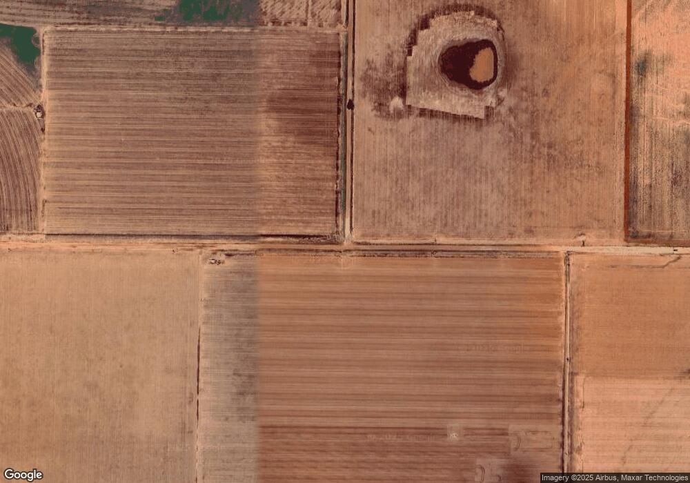
3920 Mallard Rd Ropesville, TX 79358
Estimated Value: $476,772
4
Beds
2
Baths
2,468
Sq Ft
$193/Sq Ft
Est. Value
About This Home
This home is located at 3920 Mallard Rd, Ropesville, TX 79358 and is currently priced at $476,772, approximately $193 per square foot. 3920 Mallard Rd is a home located in Hockley County with nearby schools including Ropes School.
Ownership History
Date
Name
Owned For
Owner Type
Purchase Details
Closed on
Jul 14, 2021
Sold by
Pinkert Gladys and Pinkert Roy
Bought by
Higginbotham Michael
Current Estimated Value
Purchase Details
Closed on
Nov 12, 2014
Sold by
Smith Larry A and Smith Rebecca
Bought by
Higginbotham Michael
Purchase Details
Closed on
Aug 28, 2007
Sold by
Ray Ronald D
Bought by
Higginbotham Michael Cleon
Home Financials for this Owner
Home Financials are based on the most recent Mortgage that was taken out on this home.
Original Mortgage
$14,800
Interest Rate
6.72%
Mortgage Type
Purchase Money Mortgage
Create a Home Valuation Report for This Property
The Home Valuation Report is an in-depth analysis detailing your home's value as well as a comparison with similar homes in the area
Purchase History
| Date | Buyer | Sale Price | Title Company |
|---|---|---|---|
| Higginbotham Michael | -- | Hockley County Abstract Ltd | |
| Higginbotham Michael | -- | None Available | |
| Higginbotham Michael Cleon | -- | -- |
Source: Public Records
Mortgage History
| Date | Status | Borrower | Loan Amount |
|---|---|---|---|
| Previous Owner | Higginbotham Michael Cleon | $14,800 |
Source: Public Records
Tax History Compared to Growth
Tax History
| Year | Tax Paid | Tax Assessment Tax Assessment Total Assessment is a certain percentage of the fair market value that is determined by local assessors to be the total taxable value of land and additions on the property. | Land | Improvement |
|---|---|---|---|---|
| 2025 | $6,693 | $474,030 | $15,090 | $458,940 |
| 2024 | $6,470 | $443,460 | $14,380 | $429,080 |
| 2023 | $7,722 | $419,430 | $12,500 | $406,930 |
| 2022 | $8,398 | $397,230 | $12,500 | $384,730 |
| 2021 | $8,601 | $354,530 | $12,500 | $342,030 |
| 2020 | $8,050 | $352,920 | $12,500 | $340,420 |
| 2019 | $8,439 | $352,920 | $12,500 | $340,420 |
| 2018 | $8,262 | $345,480 | $12,500 | $332,980 |
| 2017 | $8,095 | $333,600 | $12,500 | $321,100 |
| 2016 | $7,667 | $315,970 | $12,500 | $303,470 |
| 2015 | -- | $304,160 | $12,500 | $291,660 |
| 2014 | -- | $292,310 | $12,500 | $279,810 |
Source: Public Records
Map
Nearby Homes
- 0 MacAw Road Lot 24
- 0
- 0 MacAw Road Lot 22
- 0 Starling Circle Lot 17 Unit 202562598
- 0 Starling Circle Lot 18 Unit 202562599
- 0 Starling Circle Lot 16 Unit 202562596
- 0 Starling Circle Lot 19 Unit 202562600
- 0 Starling Circle Lot 20 Unit 202562601
- 0 Rockin T Rd Unit 202600317
- 0 Rockin T Rd Unit 202564755
- 0 Rockin T Rd Unit 202600240
- 0 Rockin T Rd Unit 202600239
- 0 Rockin T Rd Unit 202564738
- 0 Rockin T Rd Unit 202564743
- 0 Rockin T Rd Unit 202600406
- 0 Rockin T Rd Unit 202600315
- 0 Rockin T Rd Unit 202600407
- 0 Rockin T Rd Unit 202600314
- 0 Rockin T Rd Unit 202600316
- 0 Rockin T Rd Unit 202600402
- 3936 Mallard Rd
- 3924 Mallard Rd
- 3910 Mallard Rd
- 3923 Mallard Rd
- 3929 Mallard Rd
- 3903 Mallard Rd
- 6496 Foster Rd
- 3935 Mallard Rd
- 6494 Foster Rd
- 0 Foster Rd Unit 9950574
- 0 Foster Rd Unit 9950539
- 0 Foster Rd Unit 9950540
- 0 Foster Rd Unit 9946820
- 0 Foster Rd Unit 9946826
- 0 Foster Rd Unit 9946828
- 0 Foster Rd Unit 9946832
- 0 Foster Rd Unit 9946822
- 0 Foster Rd Unit 9946827
- 0 Foster Rd Unit 9946823
- 0 Foster Rd Unit 9946814
