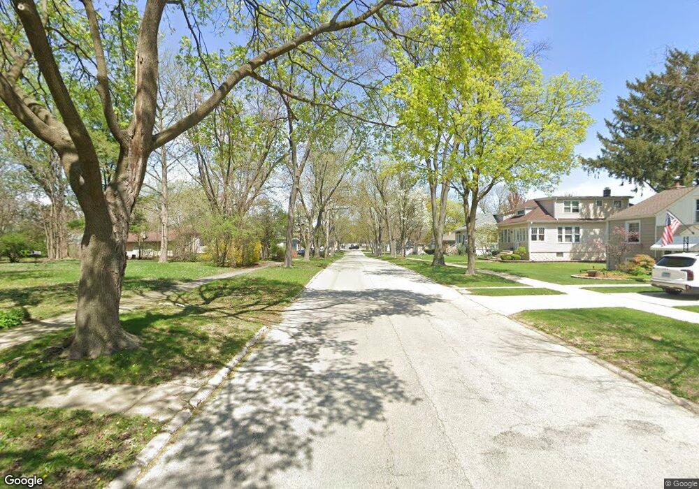
3920 N Lincoln St Westmont, IL 60559
North Westmont NeighborhoodEstimated Value: $392,000 - $476,000
--
Bed
1
Bath
1,807
Sq Ft
$241/Sq Ft
Est. Value
About This Home
This home is located at 3920 N Lincoln St, Westmont, IL 60559 and is currently estimated at $435,820, approximately $241 per square foot. 3920 N Lincoln St is a home located in DuPage County with nearby schools including C E Miller Elementary School, J T Manning Elementary School, and Westmont Jr High School.
Ownership History
Date
Name
Owned For
Owner Type
Purchase Details
Closed on
Apr 30, 1997
Sold by
Curran Timothy J and Curran Georgine
Bought by
Curran Timothy J and Curran Georgine
Current Estimated Value
Home Financials for this Owner
Home Financials are based on the most recent Mortgage that was taken out on this home.
Original Mortgage
$142,800
Interest Rate
8.05%
Create a Home Valuation Report for This Property
The Home Valuation Report is an in-depth analysis detailing your home's value as well as a comparison with similar homes in the area
Home Values in the Area
Average Home Value in this Area
Purchase History
| Date | Buyer | Sale Price | Title Company |
|---|---|---|---|
| Curran Timothy J | -- | -- |
Source: Public Records
Mortgage History
| Date | Status | Borrower | Loan Amount |
|---|---|---|---|
| Closed | Curran Timothy J | $142,800 |
Source: Public Records
Tax History Compared to Growth
Tax History
| Year | Tax Paid | Tax Assessment Tax Assessment Total Assessment is a certain percentage of the fair market value that is determined by local assessors to be the total taxable value of land and additions on the property. | Land | Improvement |
|---|---|---|---|---|
| 2024 | $6,076 | $129,535 | $33,896 | $95,639 |
| 2023 | $6,133 | $119,080 | $31,160 | $87,920 |
| 2022 | $5,791 | $111,180 | $29,090 | $82,090 |
| 2021 | $5,549 | $109,920 | $28,760 | $81,160 |
| 2020 | $5,420 | $107,740 | $28,190 | $79,550 |
| 2019 | $5,208 | $103,380 | $27,050 | $76,330 |
| 2018 | $5,229 | $101,600 | $26,920 | $74,680 |
| 2017 | $5,069 | $97,690 | $25,890 | $71,800 |
| 2016 | $4,971 | $93,230 | $24,710 | $68,520 |
| 2015 | $4,890 | $87,710 | $23,250 | $64,460 |
| 2014 | $4,908 | $85,280 | $22,610 | $62,670 |
| 2013 | $5,700 | $103,680 | $24,380 | $79,300 |
Source: Public Records
Map
Nearby Homes
- 4010 N Cass Ave
- 4018 N Grant St
- 4022 N Grant St
- 3931 Liberty Blvd
- 3916 Liberty Blvd
- 976 Indian Boundary Dr
- 3811 N Park St
- 4107 N Park St
- 2605 35th St
- 500 N Grant St
- 475 N Cass Ave Unit 212
- 527 Cumnor Rd Unit 107W
- 248 41st St
- 2919 35th St
- 4218 Florence Ave
- 516 Citadel Cir Unit 2
- 719 Citadel Dr Unit 1
- 303 N Cass Ave
- 1912 Midwest Club Pkwy
- 3412 Meyers Rd
- 3924 N Lincoln St
- 3918 N Lincoln St
- 3926 N Lincoln St
- 3916 N Lincoln St
- 3928 N Lincoln St
- 3914 N Lincoln St
- 3921 N Grant St
- 3925 N Grant St
- 3919 N Grant St
- 3923 N Grant St
- 3917 N Grant St
- 3912 N Lincoln St
- 3930 N Lincoln St
- 3915 N Grant St
- 3921 N Lincoln St
- 3923 N Lincoln St
- 3917 N Lincoln St
- 3925 N Lincoln St
- 3910 N Lincoln St
- 3915 N Lincoln St
