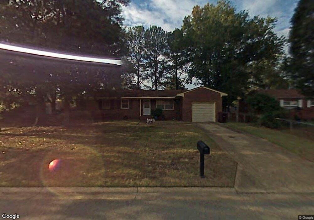
3920 Port Rd Chesapeake, VA 23321
Western Branch NeighborhoodEstimated Value: $262,000 - $291,000
3
Beds
2
Baths
1,221
Sq Ft
$228/Sq Ft
Est. Value
About This Home
This home is located at 3920 Port Rd, Chesapeake, VA 23321 and is currently estimated at $277,999, approximately $227 per square foot. 3920 Port Rd is a home located in Chesapeake City with nearby schools including Southwestern Elementary School, Jolliff Middle School, and Western Branch High School.
Create a Home Valuation Report for This Property
The Home Valuation Report is an in-depth analysis detailing your home's value as well as a comparison with similar homes in the area
Home Values in the Area
Average Home Value in this Area
Tax History
| Year | Tax Paid | Tax Assessment Tax Assessment Total Assessment is a certain percentage of the fair market value that is determined by local assessors to be the total taxable value of land and additions on the property. | Land | Improvement |
|---|---|---|---|---|
| 2025 | $558 | $243,300 | $120,000 | $123,300 |
| 2024 | $558 | $232,600 | $120,000 | $112,600 |
| 2023 | $279 | $215,200 | $110,000 | $105,200 |
| 2022 | $279 | $188,900 | $80,000 | $108,900 |
| 2021 | $279 | $162,400 | $65,000 | $97,400 |
| 2020 | $1,572 | $155,200 | $65,000 | $90,200 |
| 2019 | $1,572 | $149,700 | $55,000 | $94,700 |
| 2018 | $1,509 | $143,700 | $55,000 | $88,700 |
| 2017 | $558 | $143,700 | $55,000 | $88,700 |
| 2016 | $1,395 | $132,900 | $50,000 | $82,900 |
| 2015 | $1,395 | $132,900 | $50,000 | $82,900 |
| 2014 | $1,395 | $132,900 | $50,000 | $82,900 |
Source: Public Records
Map
Nearby Homes
- 3924 Port Rd
- 3931 Port Rd
- 3861 Ahoy Dr
- 3912 Holly Cove Dr
- 4008 Sloop Trail
- 3860 Schooner Trail
- 3980 Port Rd
- 4126 River Breeze Cir
- 3917 Rex Cir
- 4004 River Breeze Cir
- 3943 Rex Cir
- 3709 Bosun Dr
- 4304 Center Mast Crest
- .2ac Airline Blvd
- 1821 Spar St
- 3932 Pierce Ln
- 4301 Airline Blvd
- 305 Bobby Jones Dr
- 800 Arnold Palmer Dr
- 102 Ben Hogan Dr
Your Personal Tour Guide
Ask me questions while you tour the home.