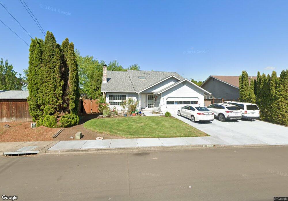
3920 Shenstone Dr Eugene, OR 97404
Santa Clara NeighborhoodEstimated Value: $516,805 - $540,000
4
Beds
2
Baths
2,120
Sq Ft
$248/Sq Ft
Est. Value
About This Home
This home is located at 3920 Shenstone Dr, Eugene, OR 97404 and is currently estimated at $526,451, approximately $248 per square foot. 3920 Shenstone Dr is a home located in Lane County with nearby schools including Irving Elementary School, Shasta Middle School, and Willamette High School.
Create a Home Valuation Report for This Property
The Home Valuation Report is an in-depth analysis detailing your home's value as well as a comparison with similar homes in the area
Home Values in the Area
Average Home Value in this Area
Tax History
| Year | Tax Paid | Tax Assessment Tax Assessment Total Assessment is a certain percentage of the fair market value that is determined by local assessors to be the total taxable value of land and additions on the property. | Land | Improvement |
|---|---|---|---|---|
| 2025 | $3,703 | $312,328 | -- | -- |
| 2024 | $3,611 | $303,232 | -- | -- |
| 2023 | $3,611 | $294,400 | $0 | $0 |
| 2022 | $3,365 | $285,826 | $0 | $0 |
| 2021 | $3,198 | $277,501 | $0 | $0 |
| 2020 | $3,087 | $269,419 | $0 | $0 |
| 2019 | $2,902 | $261,572 | $0 | $0 |
| 2018 | $2,806 | $246,557 | $0 | $0 |
| 2017 | $2,702 | $246,557 | $0 | $0 |
| 2016 | $2,644 | $239,376 | $0 | $0 |
| 2015 | $2,622 | $232,404 | $0 | $0 |
| 2014 | $2,599 | $225,635 | $0 | $0 |
Source: Public Records
Map
Nearby Homes
- 3985 Shenstone Dr
- 1133 Irvington Dr
- 420 Lynnbrook Dr
- 4278 Torrington Ave
- 709 Tyson Ln
- 579 Sweetwater Ln
- 591 Argon Ave
- 212 Chimney Rock Ln
- 3365 Goose Cross Ln
- 3470 Cabernet Ln
- 4490 Doyle St
- 3256 Marvin Dr
- 374 Blackfoot Ave
- 47 van Fossen Ct
- 1256 Frogs Leap Ln
- 4366 Berry Ln
- 1265 Napa Creek Dr
- 2987 Dry Creek Rd
- 110 Calumet Ave
- 2965 Teal Place
- 3930 Shenstone Dr
- 1079 Tyson Ln
- 1083 Tyson Ln
- 1144 Risden Place
- 3940 Shenstone Dr
- 1085 Tyson Ln
- 1150 Risden Place
- 1140 Risden Place
- 3925 Shenstone Dr
- 3917 Shenstone Dr
- 1089 Tyson Ln
- 1100 Brotherton Ave
- 3950 Shenstone Dr
- 1152 Risden Place
- 1132 Risden Place
- 1063 Tyson Ln
- 1093 Tyson Ln
- 1080 Tyson Ln
- 3960 Shenstone Dr
- 1090 Brotherton Ave
Your Personal Tour Guide
Ask me questions while you tour the home.