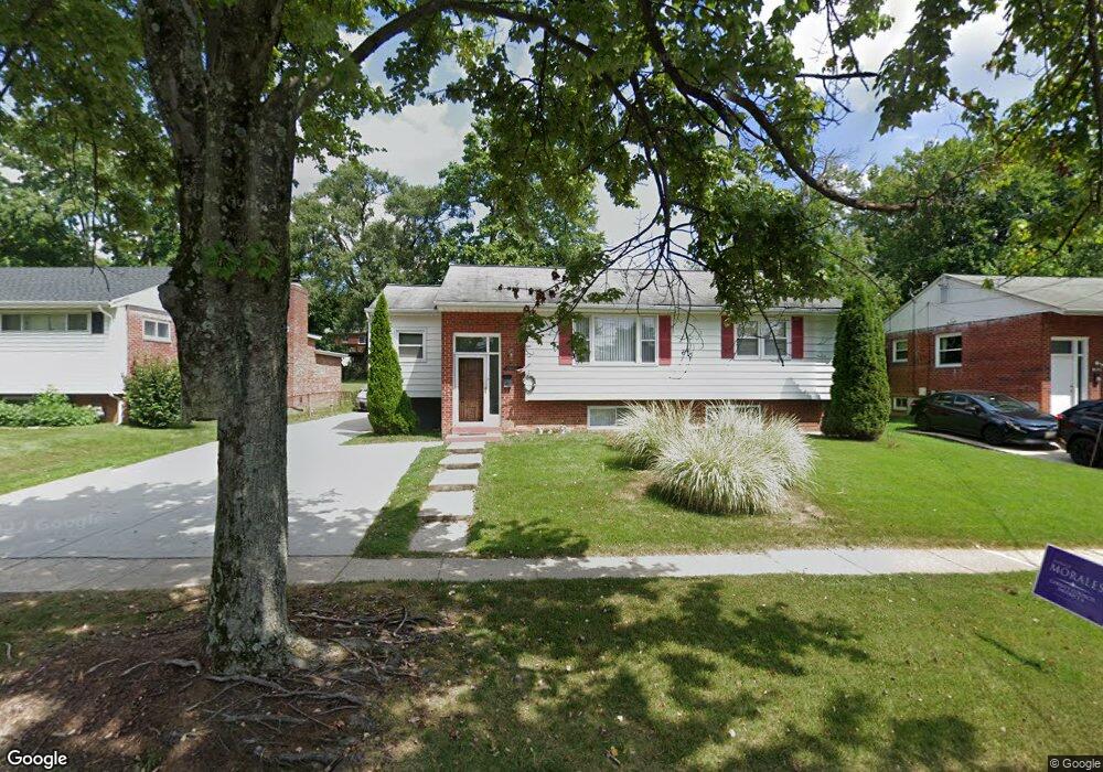
3920 Wendy Ln Silver Spring, MD 20906
Estimated Value: $497,000 - $544,000
Studio
2
Baths
1,150
Sq Ft
$446/Sq Ft
Est. Value
About This Home
This home is located at 3920 Wendy Ln, Silver Spring, MD 20906 and is currently estimated at $512,993, approximately $446 per square foot. 3920 Wendy Ln is a home located in Montgomery County with nearby schools including Harmony Hills Elementary School, Parkland Middle School, and John F. Kennedy High School.
Ownership History
Date
Name
Owned For
Owner Type
Purchase Details
Closed on
Jul 11, 2013
Sold by
Castillo Linda L Laboy
Bought by
Castillo Hector
Current Estimated Value
Home Financials for this Owner
Home Financials are based on the most recent Mortgage that was taken out on this home.
Original Mortgage
$230,110
Outstanding Balance
$167,677
Interest Rate
3.97%
Mortgage Type
Stand Alone Refi Refinance Of Original Loan
Estimated Equity
$345,316
Purchase Details
Closed on
Apr 9, 2004
Sold by
Oscar Frank L and Oscar M G
Bought by
Castillo Hector and Castillo Linda L
Create a Home Valuation Report for This Property
The Home Valuation Report is an in-depth analysis detailing your home's value as well as a comparison with similar homes in the area
Purchase History
| Date | Buyer | Sale Price | Title Company |
|---|---|---|---|
| Castillo Hector | $69,969 | None Available | |
| Castillo Hector | $340,000 | -- | |
| Castillo Hector | $340,000 | -- |
Source: Public Records
Mortgage History
| Date | Status | Borrower | Loan Amount |
|---|---|---|---|
| Open | Castillo Hector | $230,110 |
Source: Public Records
Tax History
| Year | Tax Paid | Tax Assessment Tax Assessment Total Assessment is a certain percentage of the fair market value that is determined by local assessors to be the total taxable value of land and additions on the property. | Land | Improvement |
|---|---|---|---|---|
| 2025 | $5,543 | $432,900 | $178,100 | $254,800 |
| 2024 | $5,543 | $406,133 | $0 | $0 |
| 2023 | $4,382 | $379,367 | $0 | $0 |
| 2022 | $3,852 | $352,600 | $163,300 | $189,300 |
| 2021 | $3,680 | $349,333 | $0 | $0 |
| 2020 | $3,680 | $346,067 | $0 | $0 |
| 2019 | $3,609 | $342,800 | $163,300 | $179,500 |
| 2018 | $3,451 | $330,733 | $0 | $0 |
| 2017 | $3,370 | $318,667 | $0 | $0 |
| 2016 | $2,654 | $306,600 | $0 | $0 |
| 2015 | $2,654 | $294,733 | $0 | $0 |
| 2014 | $2,654 | $282,867 | $0 | $0 |
Source: Public Records
Map
Nearby Homes
- 13216 Turkey Branch Pkwy
- 4304 Elizabeth St
- 3701 Kenway St
- 13017 Parkland Dr
- 13116 Estelle Rd
- 3301 Hewitt Ave Unit 501
- 3301 Hewitt Ave Unit 403
- 3234 Hewitt Ave Unit 24
- 13103 Magellan Ave
- 4102 Landgreen St
- 3409 Janet Rd
- 14107 Yorkshire Woods Dr
- 13405 Oriental St
- 13020 Saint Charles Place
- 14107 Oakvale St
- 12816 Valleywood Dr
- 2829 Vixen Ln
- 12420 Feldon St
- 13316 Foxhall Dr
- 3405 Fredale St
Your Personal Tour Guide
Ask me questions while you tour the home.