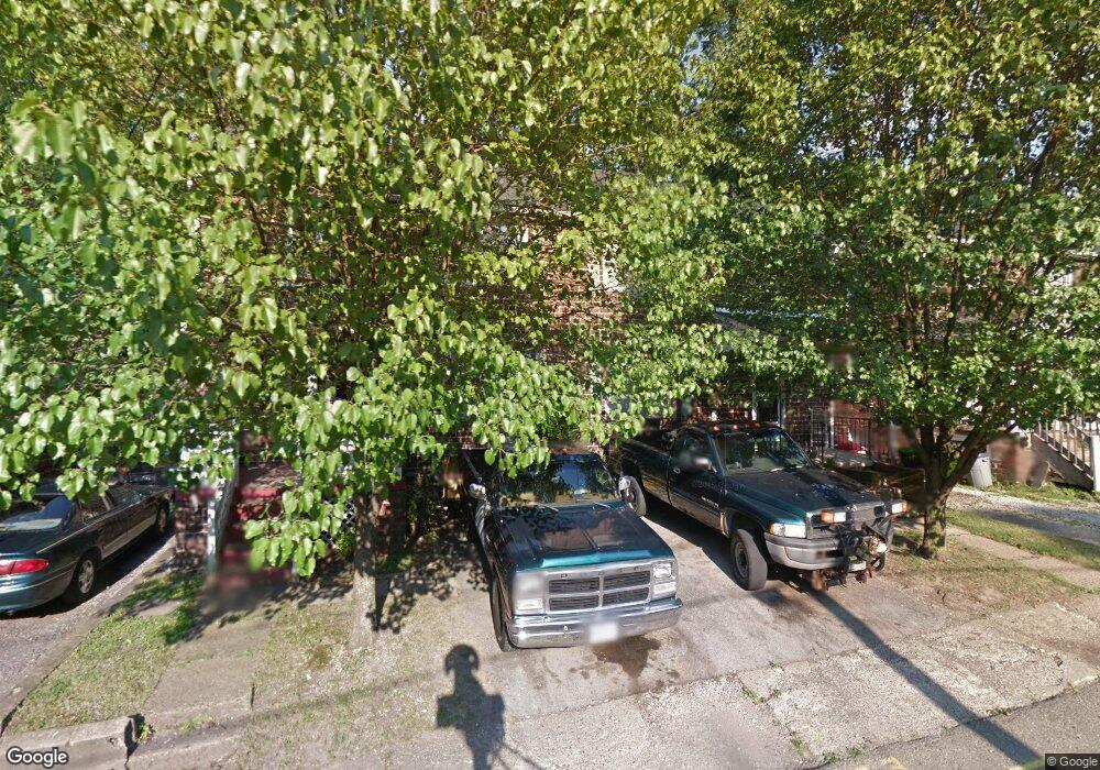
3921 4th St Unit 3925 Struthers, OH 44471
Estimated Value: $60,000 - $98,000
6
Beds
2
Baths
2,304
Sq Ft
$33/Sq Ft
Est. Value
About This Home
This home is located at 3921 4th St Unit 3925, Struthers, OH 44471 and is currently estimated at $75,772, approximately $32 per square foot. 3921 4th St Unit 3925 is a home located in Mahoning County with nearby schools including Struthers Elementary School, Struthers Middle School, and Struthers High School.
Ownership History
Date
Name
Owned For
Owner Type
Purchase Details
Closed on
Dec 26, 2019
Bought by
Allta Alliance Llc
Current Estimated Value
Home Financials for this Owner
Home Financials are based on the most recent Mortgage that was taken out on this home.
Interest Rate
3.74%
Purchase Details
Closed on
Sep 27, 2012
Sold by
Fannie Mae
Bought by
Wolfe Lonnie
Purchase Details
Closed on
Oct 8, 2010
Sold by
Williams Ali
Bought by
Federal National Mortgage Association
Purchase Details
Closed on
Feb 9, 1989
Bought by
Campolito John A and P S
Create a Home Valuation Report for This Property
The Home Valuation Report is an in-depth analysis detailing your home's value as well as a comparison with similar homes in the area
Home Values in the Area
Average Home Value in this Area
Purchase History
| Date | Buyer | Sale Price | Title Company |
|---|---|---|---|
| Allta Alliance Llc | $26,000 | -- | |
| Wolfe Lonnie | $7,000 | Attorney | |
| Federal National Mortgage Association | $26,000 | Attorney | |
| Campolito John A | $17,000 | -- |
Source: Public Records
Mortgage History
| Date | Status | Borrower | Loan Amount |
|---|---|---|---|
| Closed | Allta Alliance Llc | -- |
Source: Public Records
Tax History Compared to Growth
Tax History
| Year | Tax Paid | Tax Assessment Tax Assessment Total Assessment is a certain percentage of the fair market value that is determined by local assessors to be the total taxable value of land and additions on the property. | Land | Improvement |
|---|---|---|---|---|
| 2024 | $519 | $12,150 | $810 | $11,340 |
| 2023 | $511 | $12,150 | $810 | $11,340 |
| 2022 | $503 | $9,060 | $820 | $8,240 |
| 2021 | $499 | $9,060 | $820 | $8,240 |
| 2020 | $501 | $9,060 | $820 | $8,240 |
| 2019 | $408 | $6,660 | $600 | $6,060 |
| 2018 | $431 | $6,660 | $600 | $6,060 |
| 2017 | $398 | $6,660 | $600 | $6,060 |
| 2016 | $409 | $7,210 | $600 | $6,610 |
| 2015 | $420 | $7,210 | $600 | $6,610 |
| 2014 | $402 | $7,210 | $600 | $6,610 |
| 2013 | $374 | $7,210 | $600 | $6,610 |
Source: Public Records
Map
Nearby Homes
- 440 5th St
- 2743 Mount Vernon Ave
- 2577 E Midlothian Blvd
- 294 Elm St
- 2562 Mount Vernon Ave
- 412 Elm St
- 281 Sexton St
- 491 Spring St
- 0 Crescent Dr Unit 5124984
- 795 5th St
- 574 Spring St
- 180 Poland Ave
- 2013 Everett Ave
- 2020 Medford Ave
- 2007 E Midlothian Blvd
- 231 Overlook Blvd
- 2016 Pointview Ave
- 2001 Brownlee Ave
- 1954 Everett Ave
- 133 Parkway St