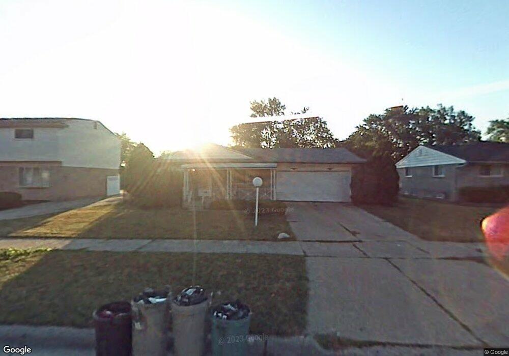
3921 Burns St Inkster, MI 48141
Estimated Value: $100,000 - $174,000
3
Beds
1
Bath
1,100
Sq Ft
$126/Sq Ft
Est. Value
About This Home
This home is located at 3921 Burns St, Inkster, MI 48141 and is currently estimated at $138,379, approximately $125 per square foot. 3921 Burns St is a home located in Wayne County with nearby schools including Romulus Elementary School, Romulus Middle School, and Romulus Senior High School.
Ownership History
Date
Name
Owned For
Owner Type
Purchase Details
Closed on
Oct 31, 2019
Sold by
Irm Group Llc
Bought by
Beneficial Investments Llc
Current Estimated Value
Purchase Details
Closed on
Sep 27, 2013
Sold by
Irm Group Llc
Bought by
Beneficial Investments Llc
Purchase Details
Closed on
Jul 6, 2009
Sold by
Scott Lewis C and Scott Nicole E
Bought by
Irm Group Llc
Purchase Details
Closed on
May 28, 2008
Sold by
Lasalle Bank Na
Bought by
Scott Lewis
Purchase Details
Closed on
Aug 17, 2007
Sold by
Option One Mortgage Corp
Bought by
Lasalle Bank Na and Structured Asset Investment Loan Trust M
Purchase Details
Closed on
Aug 15, 2007
Sold by
Baldwin Ronald and Baldwin Veronica
Bought by
Option One Mortgage Corp
Create a Home Valuation Report for This Property
The Home Valuation Report is an in-depth analysis detailing your home's value as well as a comparison with similar homes in the area
Home Values in the Area
Average Home Value in this Area
Purchase History
| Date | Buyer | Sale Price | Title Company |
|---|---|---|---|
| Beneficial Investments Llc | $30,000 | Tri County Title Agency Inc | |
| Beneficial Investments Llc | -- | Tri County Title Agency Inc | |
| Irm Group Llc | -- | None Available | |
| Scott Lewis | $14,653 | Attorneys Title Agency Llc | |
| Lasalle Bank Na | -- | None Available | |
| Option One Mortgage Corp | $94,466 | None Available |
Source: Public Records
Tax History Compared to Growth
Tax History
| Year | Tax Paid | Tax Assessment Tax Assessment Total Assessment is a certain percentage of the fair market value that is determined by local assessors to be the total taxable value of land and additions on the property. | Land | Improvement |
|---|---|---|---|---|
| 2025 | $1,374 | $62,200 | $0 | $0 |
| 2024 | $1,374 | $45,300 | $0 | $0 |
| 2023 | $1,124 | $35,500 | $0 | $0 |
| 2022 | $1,601 | $28,900 | $0 | $0 |
| 2021 | $1,659 | $25,800 | $0 | $0 |
| 2020 | $1,628 | $22,400 | $0 | $0 |
| 2019 | $1,625 | $19,100 | $0 | $0 |
| 2018 | $1,054 | $16,700 | $0 | $0 |
| 2017 | $970 | $16,200 | $0 | $0 |
| 2016 | $1,585 | $14,700 | $0 | $0 |
| 2015 | $1,540 | $15,400 | $0 | $0 |
| 2013 | $2,420 | $24,200 | $0 | $0 |
| 2012 | $1,878 | $27,400 | $3,200 | $24,200 |
Source: Public Records
Map
Nearby Homes
- 29600 Pine St
- 29978 Carlysle St
- Vacant Wayland Ct
- 29038 York St
- 29119 York St
- 29026 York St
- 4705 S Middlebelt Rd
- 3616 Spring Hill Ave
- 28870 Annapolis Ave Unit 16
- 4080 Isabelle St
- 4770 Matthew St
- 29006 Eton St
- 29114 Richard St
- 5022 S Middlebelt Rd
- 4315 Isabelle St
- 4971 Julius Blvd
- 5320 S Middlebelt Rd
- 3235 Isabelle St
- 28951 Powers St
- 28919 Powers St