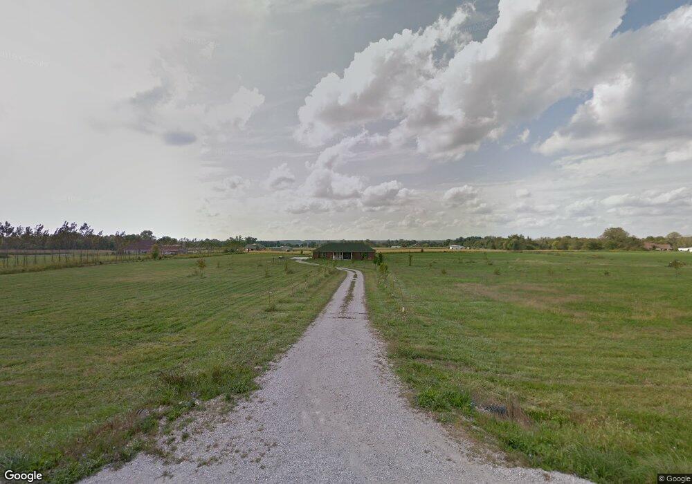
3921 Cornstalk Rd Waynesville, OH 45068
Estimated Value: $613,000 - $765,228
3
Beds
3
Baths
2,676
Sq Ft
$268/Sq Ft
Est. Value
About This Home
This home is located at 3921 Cornstalk Rd, Waynesville, OH 45068 and is currently estimated at $717,807, approximately $268 per square foot. 3921 Cornstalk Rd is a home located in Greene County with nearby schools including Xenia High School.
Ownership History
Date
Name
Owned For
Owner Type
Purchase Details
Closed on
Jan 22, 2021
Sold by
Jacobson Mark A and Jacobson Patricia L
Bought by
Jacobson Mark A and Jacobson Patricia L
Current Estimated Value
Home Financials for this Owner
Home Financials are based on the most recent Mortgage that was taken out on this home.
Original Mortgage
$382,937
Outstanding Balance
$310,490
Interest Rate
2.6%
Mortgage Type
New Conventional
Estimated Equity
$407,317
Purchase Details
Closed on
Apr 26, 2019
Sold by
Hirsch Robert A and Hirsch Julianna
Bought by
Jacobson Mark A
Home Financials for this Owner
Home Financials are based on the most recent Mortgage that was taken out on this home.
Original Mortgage
$427,500
Interest Rate
4%
Mortgage Type
New Conventional
Purchase Details
Closed on
Mar 9, 2006
Sold by
Countrytyme Lebanon Ltd
Bought by
Hirsch Robert A and Hirsch Julianna
Home Financials for this Owner
Home Financials are based on the most recent Mortgage that was taken out on this home.
Original Mortgage
$327,000
Interest Rate
6.37%
Mortgage Type
Construction
Create a Home Valuation Report for This Property
The Home Valuation Report is an in-depth analysis detailing your home's value as well as a comparison with similar homes in the area
Home Values in the Area
Average Home Value in this Area
Purchase History
| Date | Buyer | Sale Price | Title Company |
|---|---|---|---|
| Jacobson Mark A | -- | None Listed On Document | |
| Jacobson Mark A | $475,000 | None Available | |
| Hirsch Robert A | $76,900 | None Available |
Source: Public Records
Mortgage History
| Date | Status | Borrower | Loan Amount |
|---|---|---|---|
| Open | Jacobson Mark A | $382,937 | |
| Previous Owner | Jacobson Mark A | $427,500 | |
| Previous Owner | Hirsch Robert A | $327,000 |
Source: Public Records
Tax History Compared to Growth
Tax History
| Year | Tax Paid | Tax Assessment Tax Assessment Total Assessment is a certain percentage of the fair market value that is determined by local assessors to be the total taxable value of land and additions on the property. | Land | Improvement |
|---|---|---|---|---|
| 2024 | $10,612 | $208,350 | $50,630 | $157,720 |
| 2023 | $10,612 | $208,350 | $50,630 | $157,720 |
| 2022 | $9,677 | $164,060 | $47,460 | $116,600 |
| 2021 | $9,793 | $164,060 | $47,460 | $116,600 |
| 2020 | $8,990 | $164,060 | $47,460 | $116,600 |
| 2019 | $8,321 | $122,570 | $39,730 | $82,840 |
| 2018 | $7,069 | $122,610 | $39,730 | $82,880 |
| 2017 | $6,764 | $122,610 | $39,730 | $82,880 |
| 2016 | $6,811 | $120,530 | $39,030 | $81,500 |
| 2015 | $6,021 | $106,270 | $39,030 | $67,240 |
| 2014 | $5,781 | $106,270 | $39,030 | $67,240 |
Source: Public Records
Map
Nearby Homes
- 9052 Wilson Rd
- 9500 Collett Rd Unit 20
- 8648 Compton Rd
- 8760 State Route 380
- 196 Mound St
- 8881 Route 42
- 2 Acres Mount Holly Rd
- 7364 Cook Jones Rd
- 0 Penewit Rd
- 10 Acres Penewit Rd
- 9161 Old Stage Rd
- 6329 State Route 380
- 2538 State Route 725
- 668 New Burlington Rd
- 0A Old Winchester Trail
- 0B Old Winchester Trail
- 0C Old Winchester Trail
- 7902 N US Rt 42
- 3620 Old Winchester Trail
- 9510 Bellbrook Rd
- 3871 Cornstalk Rd
- 1150 Roxanna New Burlington Rd
- 3393 Cornstalk Rd
- 3793 Cornstalk Rd
- 9863 Compton Rd
- 3773 Cornstalk Rd
- 1320 Roxanna New Burlington Rd
- Lot 5 Cornstalk Rd
- Lot 1 Cornstalk Rd
- Lot 7 Cornstalk Rd
- 9749 Compton Rd
- 10304 Compton Rd
- 1380 Roxanna New Burlington Rd
- 1398 Roxanna New Burlington Rd
- 2 Cornstalk Rd
- 3683 Cornstalk Rd
- 9600 Compton Rd
- 1450 Roxanna New Burlington Rd
- 3639 Cornstalk Rd
- 9532 Compton Rd