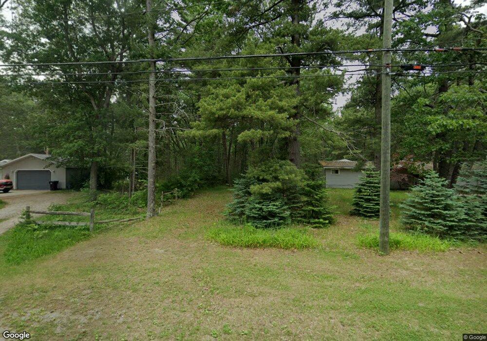
3921 Forest Rd Oscoda, MI 48750
Estimated Value: $229,726 - $284,000
3
Beds
2
Baths
1,956
Sq Ft
$130/Sq Ft
Est. Value
About This Home
This home is located at 3921 Forest Rd, Oscoda, MI 48750 and is currently estimated at $254,432, approximately $130 per square foot. 3921 Forest Rd is a home located in Iosco County with nearby schools including Richardson Elementary School and Oscoda Area High School.
Ownership History
Date
Name
Owned For
Owner Type
Purchase Details
Closed on
Oct 8, 2021
Sold by
Longley Dennis D and Longley Cathy D
Bought by
Mejeur Genecia M and Mejeur Jonathan M
Current Estimated Value
Purchase Details
Closed on
Nov 5, 2016
Sold by
Hobart Carol and Carol Hobart Trust
Bought by
Longley Dennis D and Longley Cathy D
Purchase Details
Closed on
Jul 6, 2012
Sold by
Lamrock Ronald D and Lamrock Ronald D Trust
Bought by
Hobart Carol Trust
Purchase Details
Closed on
Dec 10, 2010
Sold by
Hobart Carol and Hobart Carol M
Bought by
Hobart Carol Trust
Purchase Details
Closed on
Jun 8, 2010
Sold by
Flagstar Bank Fsb
Bought by
Hobart Carol and Lamrock Ron
Purchase Details
Closed on
Mar 25, 2009
Sold by
Iosco County Sheriff Department
Bought by
Mers Inc
Purchase Details
Closed on
Jul 3, 2007
Sold by
Francisco Daniel L and Francisco Shari L
Bought by
Devoy Larry W
Home Financials for this Owner
Home Financials are based on the most recent Mortgage that was taken out on this home.
Original Mortgage
$73,200
Interest Rate
6.54%
Create a Home Valuation Report for This Property
The Home Valuation Report is an in-depth analysis detailing your home's value as well as a comparison with similar homes in the area
Purchase History
| Date | Buyer | Sale Price | Title Company |
|---|---|---|---|
| Mejeur Genecia M | $164,000 | None Available | |
| Longley Dennis D | $89,900 | None Available | |
| Hobart Carol Trust | -- | -- | |
| Hobart Carol Trust | -- | -- | |
| Hobart Carol | $14,500 | -- | |
| Flagstar Bank Fsb | -- | -- | |
| Mers Inc | $76,503 | -- | |
| Devoy Larry W | $68,000 | -- |
Source: Public Records
Mortgage History
| Date | Status | Borrower | Loan Amount |
|---|---|---|---|
| Previous Owner | Devoy Larry W | $73,200 |
Source: Public Records
Tax History
| Year | Tax Paid | Tax Assessment Tax Assessment Total Assessment is a certain percentage of the fair market value that is determined by local assessors to be the total taxable value of land and additions on the property. | Land | Improvement |
|---|---|---|---|---|
| 2025 | $949 | $90,700 | $90,700 | $0 |
| 2024 | $1,638 | $84,700 | $0 | $0 |
| 2023 | $790 | $67,400 | $67,400 | $0 |
| 2022 | $1,480 | $59,400 | $59,400 | $0 |
| 2021 | $560 | $51,700 | $51,700 | $0 |
| 2020 | $0 | $0 | $0 | $0 |
| 2019 | -- | $0 | $0 | $0 |
| 2018 | -- | $43,600 | $43,600 | $0 |
| 2017 | -- | $36,400 | $36,400 | $0 |
| 2016 | $786 | $36,400 | $0 | $0 |
| 2015 | -- | $36,000 | $0 | $0 |
| 2014 | -- | $35,900 | $0 | $0 |
| 2013 | -- | $37,200 | $0 | $0 |
Source: Public Records
Map
Nearby Homes
- 3734 U S 23
- 3497 U S 23
- 130 Smith St
- 909 Farnsworth St
- 805 Old U S 23
- 134 Harbor St
- 891 S State St
- 411 Ottawa Dr
- #46 Vaughan Trail
- #48 Vaughan Trail
- #3 Vaughan Trail
- #20 Vaughan Trail
- VL Vaughan Trail
- #18 Vaughan Trail
- #1 Vaughan Trail
- #16 Vaughan Trail
- #13 Vaughan Trail
- #17 Vaughan Trail
- #47 Vaughan Trail
- #26 Appletree Trail
Your Personal Tour Guide
Ask me questions while you tour the home.