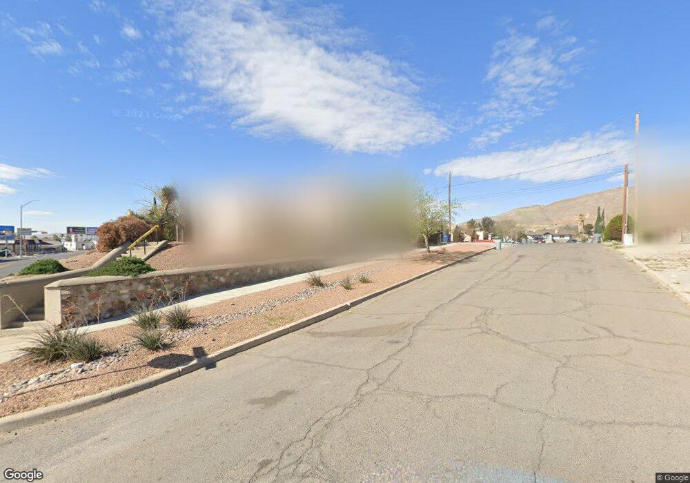
3921 Pershing Dr Unit A El Paso, TX 79903
Five Points NeighborhoodEstimated Value: $202,000 - $259,000
3
Beds
2
Baths
1,515
Sq Ft
$146/Sq Ft
Est. Value
About This Home
This home is located at 3921 Pershing Dr Unit A, El Paso, TX 79903 and is currently estimated at $221,939, approximately $146 per square foot. 3921 Pershing Dr Unit A is a home located in El Paso County with nearby schools including Coldwell Elementary School, Armendariz Middle School, and Middle School-5 NW Middle.
Ownership History
Date
Name
Owned For
Owner Type
Purchase Details
Closed on
Nov 15, 2023
Sold by
Salsbury Erin S and Salsbury Edna L
Bought by
Surrounded By Nuts Llc
Current Estimated Value
Purchase Details
Closed on
Dec 19, 2012
Sold by
Edwards Benita Yvonne and Davis Cynthia L
Bought by
Salsbury Erin S and Salsbury Edna L
Home Financials for this Owner
Home Financials are based on the most recent Mortgage that was taken out on this home.
Original Mortgage
$98,188
Interest Rate
3.25%
Mortgage Type
FHA
Purchase Details
Closed on
Mar 28, 2005
Sold by
Edwards Yvonne and Davis Cynthia L
Bought by
Edwards Benita Yvonne and Davis Cynthia L
Create a Home Valuation Report for This Property
The Home Valuation Report is an in-depth analysis detailing your home's value as well as a comparison with similar homes in the area
Home Values in the Area
Average Home Value in this Area
Purchase History
| Date | Buyer | Sale Price | Title Company |
|---|---|---|---|
| Surrounded By Nuts Llc | -- | None Listed On Document | |
| Salsbury Erin S | -- | None Available | |
| Edwards Benita Yvonne | -- | -- |
Source: Public Records
Mortgage History
| Date | Status | Borrower | Loan Amount |
|---|---|---|---|
| Previous Owner | Salsbury Erin S | $98,188 |
Source: Public Records
Tax History Compared to Growth
Tax History
| Year | Tax Paid | Tax Assessment Tax Assessment Total Assessment is a certain percentage of the fair market value that is determined by local assessors to be the total taxable value of land and additions on the property. | Land | Improvement |
|---|---|---|---|---|
| 2025 | $4,515 | $188,673 | $26,480 | $162,193 |
| 2024 | $4,515 | $173,928 | $26,480 | $147,448 |
| 2023 | $4,515 | $141,124 | $13,937 | $127,187 |
| 2022 | $3,912 | $132,169 | $13,937 | $118,232 |
| 2021 | $3,265 | $104,568 | $13,937 | $90,631 |
| 2020 | $3,014 | $98,061 | $12,670 | $85,391 |
| 2018 | $2,812 | $95,022 | $12,670 | $82,352 |
| 2017 | $2,525 | $89,659 | $12,670 | $76,989 |
| 2016 | $2,525 | $89,659 | $12,670 | $76,989 |
| 2015 | $2,620 | $89,659 | $12,670 | $76,989 |
| 2014 | $2,620 | $95,741 | $12,670 | $83,071 |
Source: Public Records
Map
Nearby Homes
- 4000 Oxford Ave
- 3608 Douglas Ave
- 1401 N Boone St
- 4101 Trowbridge Dr
- 4013 Hueco Ave
- 3812 Wilson Way
- 3606 Hueco Ave
- 3920 Clifton Ave
- 1116 N Copia St
- 3508 Douglas Ave
- 4122 Cumberland Ave
- 3625 La Luz Ave
- 3601 La Luz Ave
- 3900 La Luz Ave
- 4116 Hueco Ave
- 3519 La Luz Ave
- 3424 Lebanon Ave
- 3408 Lebanon Ave
- 3625 Richmond Ave
- 4003 Tularosa Ave
- 3921 Pershing Dr
- 3921 Pershing Dr Unit B
- 3917 Pershing Dr
- 3915 Pershing Dr
- 3716 Oxford Ave
- 3909 Pershing Dr
- 3909 Pershing Dr Unit A,B,C
- 3909 Pershing Dr Unit A
- 3909 Pershing Dr Unit B
- 3909 Pershing Dr Unit C
- 3909 Pershing Dr Unit D
- 3909 Pershing Dr A B C
- 3719 Oxford Ave
- 3710 Oxford Ave
- 3717 Oxford Ave
- 3916 Pershing Dr
- 3912 Pershing Dr
- 3920 Pershing Dr
- 3924 Pershing Dr
- 3715 Oxford Ave
