3921 S Michael Rd Ann Arbor, MI 48103
Estimated Value: $693,271 - $1,110,000
3
Beds
3
Baths
2,630
Sq Ft
$350/Sq Ft
Est. Value
About This Home
This home is located at 3921 S Michael Rd, Ann Arbor, MI 48103 and is currently estimated at $919,818, approximately $349 per square foot. 3921 S Michael Rd is a home located in Washtenaw County with nearby schools including Lakewood Elementary School, Slauson Middle School, and Pioneer High School.
Ownership History
Date
Name
Owned For
Owner Type
Purchase Details
Closed on
Sep 30, 2009
Sold by
Tuchman Marc J and Tuchman Leslie B
Bought by
Tuchman Marc J and Tuchman Leslie B
Current Estimated Value
Purchase Details
Closed on
Jun 22, 2005
Sold by
Tuchman Marc J and Tuchman Leslie B
Bought by
Tuchman Marc J and Tuchman Leslie B
Home Financials for this Owner
Home Financials are based on the most recent Mortgage that was taken out on this home.
Original Mortgage
$227,000
Interest Rate
5.69%
Mortgage Type
New Conventional
Purchase Details
Closed on
Mar 31, 1997
Sold by
Harrington Brian C
Bought by
Mason Marc J Tuchman and Mason Leslie B
Home Financials for this Owner
Home Financials are based on the most recent Mortgage that was taken out on this home.
Original Mortgage
$626,300
Outstanding Balance
$79,985
Interest Rate
7.75%
Mortgage Type
New Conventional
Estimated Equity
$839,833
Create a Home Valuation Report for This Property
The Home Valuation Report is an in-depth analysis detailing your home's value as well as a comparison with similar homes in the area
Home Values in the Area
Average Home Value in this Area
Purchase History
| Date | Buyer | Sale Price | Title Company |
|---|---|---|---|
| Tuchman Marc J | -- | None Available | |
| Tuchman Marc J | -- | -- | |
| Mason Marc J Tuchman | $316,500 | -- |
Source: Public Records
Mortgage History
| Date | Status | Borrower | Loan Amount |
|---|---|---|---|
| Closed | Tuchman Marc J | $227,000 | |
| Open | Mason Marc J Tuchman | $626,300 |
Source: Public Records
Tax History
| Year | Tax Paid | Tax Assessment Tax Assessment Total Assessment is a certain percentage of the fair market value that is determined by local assessors to be the total taxable value of land and additions on the property. | Land | Improvement |
|---|---|---|---|---|
| 2025 | $6,688 | $378,200 | $0 | $0 |
| 2024 | $6,528 | $346,300 | $0 | $0 |
| 2023 | -- | $296,800 | $0 | $0 |
| 2022 | $0 | $278,700 | $0 | $0 |
| 2021 | $0 | $275,800 | $0 | $0 |
| 2020 | $8,623 | $241,000 | $0 | $0 |
| 2019 | $7,965 | $227,600 | $227,600 | $0 |
| 2018 | $7,774 | $249,100 | $0 | $0 |
| 2017 | $7,500 | $260,800 | $0 | $0 |
| 2016 | $5,214 | $205,007 | $0 | $0 |
| 2015 | -- | $204,394 | $0 | $0 |
| 2014 | -- | $198,008 | $0 | $0 |
| 2013 | -- | $198,008 | $0 | $0 |
Source: Public Records
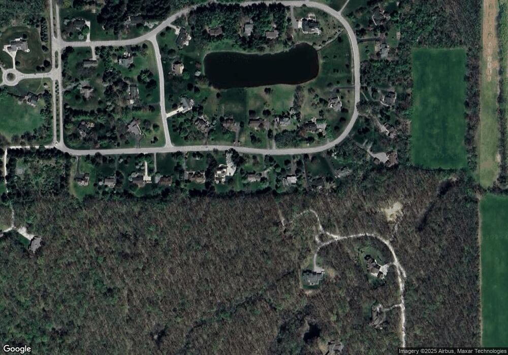
Map
Nearby Homes
- 1267 Knight Rd
- #24 Loon Ln
- #53 Loon Ln
- 1548 Chapleau Dr Unit 33
- 1227 Joyce Ln
- 1419 N Bay Dr Unit 73
- 1343 Timmins Dr Unit 8
- 4257 Loon Ln
- 4229 Loon Ln
- 4261 Loon Ln
- 1649 Chapleau Dr
- 1089 Joyce Ln Unit 88
- 1056 Joyce Ln Unit 92
- 4236 Duck Dr
- 4262 Duck Dr
- 1968 Harley Ct
- 1062 W Summerfield Glen Cir Unit 70
- 922 W Summerfield Glen Cir Unit 110
- 2973 Salem Dr
- 2667 Oxford Cir
- 3949 S Michael Rd
- 3893 S Michael Rd
- 0 S Michael Rd
- 3977 S Michael Rd
- 3916 S Michael Rd
- 3865 S Michael Rd
- 3950 S Michael Rd
- 3872 Hawk Crest Rd
- 3882 S Michael Rd
- 3848 S Michael Rd
- 3984 S Michael Rd
- 4005 S Michael Rd
- 3837 S Michael Rd
- 1401 Tammy Ln
- 3764 S Michael Rd
- 4033 S Michael Rd
- 3809 S Michael Rd Unit Bldg-Unit
- 3809 S Michael Rd
- 1428 Tammy Ln
- 1365 Tammy Ln
Your Personal Tour Guide
Ask me questions while you tour the home.