3921 Seneca Ct Skippack, PA 19474
Estimated Value: $386,000 - $399,176
3
Beds
3
Baths
2,160
Sq Ft
$181/Sq Ft
Est. Value
About This Home
This home is located at 3921 Seneca Ct, Skippack, PA 19474 and is currently estimated at $391,294, approximately $181 per square foot. 3921 Seneca Ct is a home with nearby schools including Skippack Elementary School and Perkiomen Valley Middle School West.
Ownership History
Date
Name
Owned For
Owner Type
Purchase Details
Closed on
Jun 30, 2005
Sold by
Summers Carol A and Bazzel Carol A
Bought by
Mcglone Farren Mary E
Current Estimated Value
Home Financials for this Owner
Home Financials are based on the most recent Mortgage that was taken out on this home.
Original Mortgage
$188,000
Outstanding Balance
$98,202
Interest Rate
5.67%
Mortgage Type
New Conventional
Estimated Equity
$293,092
Purchase Details
Closed on
Mar 12, 1998
Sold by
Scoles Gail E
Bought by
Summers Carol A
Create a Home Valuation Report for This Property
The Home Valuation Report is an in-depth analysis detailing your home's value as well as a comparison with similar homes in the area
Home Values in the Area
Average Home Value in this Area
Purchase History
| Date | Buyer | Sale Price | Title Company |
|---|---|---|---|
| Mcglone Farren Mary E | $244,000 | -- | |
| Summers Carol A | $125,000 | -- |
Source: Public Records
Mortgage History
| Date | Status | Borrower | Loan Amount |
|---|---|---|---|
| Open | Mcglone Farren Mary E | $188,000 |
Source: Public Records
Tax History Compared to Growth
Tax History
| Year | Tax Paid | Tax Assessment Tax Assessment Total Assessment is a certain percentage of the fair market value that is determined by local assessors to be the total taxable value of land and additions on the property. | Land | Improvement |
|---|---|---|---|---|
| 2025 | $5,564 | $132,840 | $20,250 | $112,590 |
| 2024 | $5,564 | $132,840 | $20,250 | $112,590 |
| 2023 | $5,367 | $132,840 | $20,250 | $112,590 |
| 2022 | $5,245 | $132,840 | $20,250 | $112,590 |
| 2021 | $5,161 | $132,840 | $20,250 | $112,590 |
| 2020 | $5,033 | $132,840 | $20,250 | $112,590 |
| 2019 | $4,968 | $132,840 | $20,250 | $112,590 |
| 2018 | $558 | $132,840 | $20,250 | $112,590 |
| 2017 | $4,756 | $132,840 | $20,250 | $112,590 |
| 2016 | $4,704 | $132,840 | $20,250 | $112,590 |
| 2015 | $4,519 | $132,840 | $20,250 | $112,590 |
| 2014 | $4,519 | $132,840 | $20,250 | $112,590 |
Source: Public Records
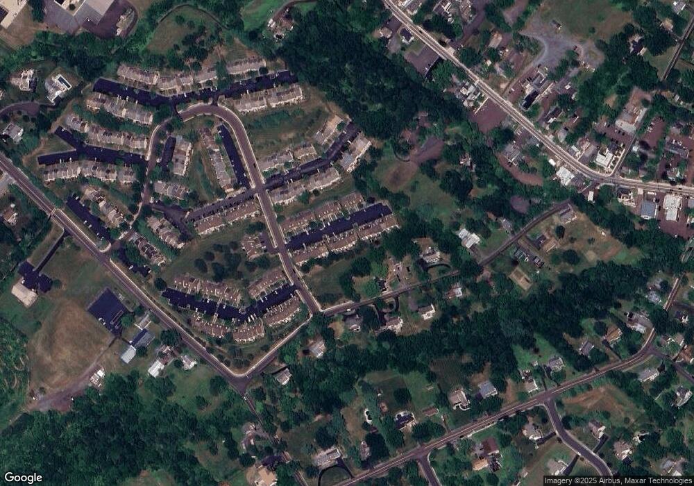
Map
Nearby Homes
- 3919 Gatehouse Ln
- 4313 Wendy Way
- 0 Ashland Dr Unit PAMC2148822
- 1134 Michele Ave
- 1100 Cressman Rd
- 1056 Bridge Rd Unit 6
- 1054 Bridge Rd Unit 5
- 1052 Bridge Rd Unit 4
- 1050 Bridge Rd Unit 3
- 1048 Bridge Rd Unit 2
- 1046 Bridge Rd Unit 1
- 20 Township Line Rd
- 2061 Integrity Ave
- 962 Bridge Rd
- 961 Harleysville Pike
- 901 Ashbourne Way
- 974 Dogwood Ln
- 100 Cooke Way
- 870 Harleysville Pike
- 763 Jubb Ln