3923 Trebor Way Lansing, MI 48911
Lansing-Eaton NeighborhoodEstimated Value: $484,039 - $711,000
2
Beds
5
Baths
2,757
Sq Ft
$225/Sq Ft
Est. Value
About This Home
This home is located at 3923 Trebor Way, Lansing, MI 48911 and is currently estimated at $621,510, approximately $225 per square foot. 3923 Trebor Way is a home located in Eaton County with nearby schools including Averill Elementary School, Attwood School, and J.W. Sexton High School.
Ownership History
Date
Name
Owned For
Owner Type
Purchase Details
Closed on
May 19, 2023
Sold by
Wilkes Lynnette Marie
Bought by
Lynnette Wilkes Revocable Living Trust
Current Estimated Value
Purchase Details
Closed on
Dec 14, 2010
Sold by
Feg Ii Llc
Bought by
Wilkes Lynnette
Purchase Details
Closed on
Apr 8, 2004
Sold by
D K Rockford Land Acquisitions Inc
Bought by
Feg Ii Llc
Purchase Details
Closed on
Nov 5, 2003
Sold by
Dk Rockford Land Acquisitions Inc
Bought by
Fed Ii Llc
Create a Home Valuation Report for This Property
The Home Valuation Report is an in-depth analysis detailing your home's value as well as a comparison with similar homes in the area
Home Values in the Area
Average Home Value in this Area
Purchase History
| Date | Buyer | Sale Price | Title Company |
|---|---|---|---|
| Lynnette Wilkes Revocable Living Trust | -- | None Listed On Document | |
| Wilkes Lynnette | -- | None Available | |
| Feg Ii Llc | $65,000 | -- | |
| Fed Ii Llc | -- | Trans |
Source: Public Records
Tax History Compared to Growth
Tax History
| Year | Tax Paid | Tax Assessment Tax Assessment Total Assessment is a certain percentage of the fair market value that is determined by local assessors to be the total taxable value of land and additions on the property. | Land | Improvement |
|---|---|---|---|---|
| 2025 | $7,825 | $217,300 | $0 | $0 |
| 2024 | $4,565 | $200,200 | $0 | $0 |
| 2023 | $4,348 | $183,600 | $0 | $0 |
| 2022 | $6,821 | $180,800 | $0 | $0 |
| 2021 | $6,517 | $171,700 | $0 | $0 |
| 2020 | $6,519 | $168,500 | $0 | $0 |
| 2019 | $6,449 | $167,508 | $0 | $0 |
| 2018 | $5,892 | $166,100 | $0 | $0 |
| 2017 | $5,838 | $167,300 | $0 | $0 |
| 2016 | -- | $162,800 | $0 | $0 |
| 2015 | -- | $162,300 | $0 | $0 |
| 2014 | -- | $157,200 | $0 | $0 |
| 2013 | -- | $162,900 | $0 | $0 |
Source: Public Records
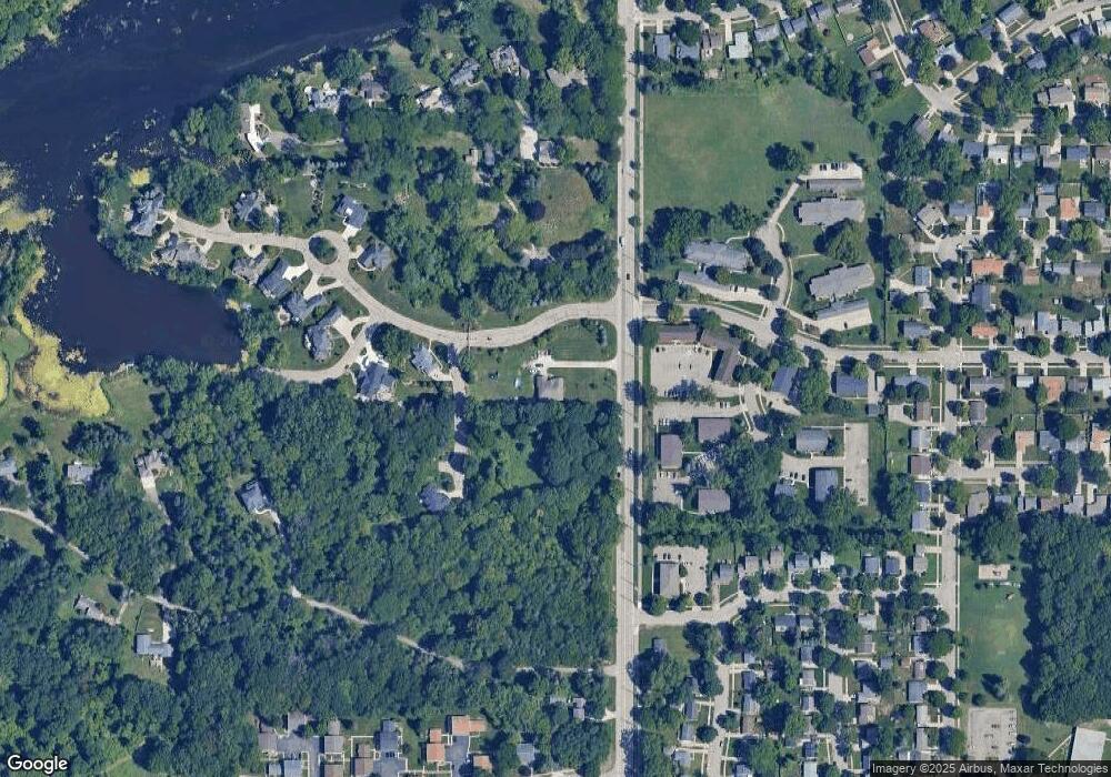
Map
Nearby Homes
- 2800 S Waverly Hwy
- 4.5 Locust Ln
- 2 Locust Ln
- 3600 Sandhurst Dr
- 3510 Christine Dr
- 2838 Sunderland Rd
- 3811 Cooley Dr
- 3700 W Holmes Rd
- 3614 Cooley Dr
- 3425 Cooley Dr
- 3416 Cooley Dr
- 3421 Troon Cir Unit 29
- 3200 Lawdor Rd
- 3214 Gingersnap Ln
- 3508 Muirfield Dr
- 3601 Muirfield Dr
- 3526 Berwick Dr
- 0 S Deerfield Ave
- 2710 Bedford Rd
- 2905 S Catherine St
- Lot 22 Baywater Dr
- Lot 21 Baywater Dr
- 0 Baywater Dr
- 3010 Baywater Dr
- 3016 Baywater Dr
- 3004 Baywater Dr Unit 19
- 4006 Harbour Cove
- 4012 Harbour Cove Unit 2
- 2724 S Waverly Rd
- 3028 Baywater Dr
- 2933 Lovango Landing
- 4116 Harbour Cove Unit 4
- 4132 Harbour Cove
- 4104 Harbour Cove
- 4120 Harbour Cove
- 4128 Harbour Cove
- 4015 Harbour Cove
- 3017 S Waverly Rd
- 2901 Mersey Ln
- 2932 Lovango Landing