3924 Mallard Rd Ropesville, TX 79358
Estimated Value: $334,823
--
Bed
--
Bath
1,860
Sq Ft
$180/Sq Ft
Est. Value
About This Home
This home is located at 3924 Mallard Rd, Ropesville, TX 79358 and is currently priced at $334,823, approximately $180 per square foot. 3924 Mallard Rd is a home located in Hockley County with nearby schools including Ropes School.
Ownership History
Date
Name
Owned For
Owner Type
Purchase Details
Closed on
Aug 15, 2006
Sold by
Rockin J Properties Llp
Bought by
Digby Monty G and Digby Melissa C
Current Estimated Value
Home Financials for this Owner
Home Financials are based on the most recent Mortgage that was taken out on this home.
Original Mortgage
$45,000
Outstanding Balance
$26,892
Interest Rate
6.77%
Mortgage Type
Purchase Money Mortgage
Create a Home Valuation Report for This Property
The Home Valuation Report is an in-depth analysis detailing your home's value as well as a comparison with similar homes in the area
Home Values in the Area
Average Home Value in this Area
Purchase History
| Date | Buyer | Sale Price | Title Company |
|---|---|---|---|
| Digby Monty G | -- | -- |
Source: Public Records
Mortgage History
| Date | Status | Borrower | Loan Amount |
|---|---|---|---|
| Open | Digby Monty G | $45,000 |
Source: Public Records
Tax History Compared to Growth
Tax History
| Year | Tax Paid | Tax Assessment Tax Assessment Total Assessment is a certain percentage of the fair market value that is determined by local assessors to be the total taxable value of land and additions on the property. | Land | Improvement |
|---|---|---|---|---|
| 2025 | $2,933 | $157,900 | $37,500 | $120,400 |
| 2024 | $1,624 | $157,900 | $37,500 | $120,400 |
| 2023 | $2,907 | $157,900 | $37,500 | $120,400 |
| 2022 | $3,400 | $157,900 | $37,500 | $120,400 |
| 2021 | $3,583 | $147,680 | $37,500 | $110,180 |
| 2020 | $3,290 | $144,220 | $37,500 | $106,720 |
| 2019 | $3,449 | $144,220 | $37,500 | $106,720 |
| 2018 | $3,400 | $142,150 | $37,500 | $104,650 |
| 2017 | $3,346 | $137,870 | $37,500 | $100,370 |
| 2016 | $3,238 | $133,450 | $37,500 | $95,950 |
| 2015 | -- | $136,710 | $37,500 | $99,210 |
| 2014 | -- | $132,630 | $37,500 | $95,130 |
Source: Public Records
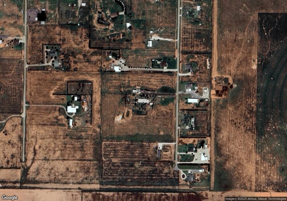
Map
Nearby Homes
- 0 MacAw Road Lot 24
- 0
- 0 MacAw Road Lot 22
- 6418 Rockin T Rd
- 0 Starling Circle Lot 18 Unit 202562599
- 0 Starling Circle Lot 17 Unit 202562598
- 0 Starling Circle Lot 19 Unit 202562600
- 0 Starling Circle Lot 16 Unit 202562596
- 0 Starling Circle Lot 20 Unit 202562601
- 0 Steer Rd
- 6438 Colton Ave
- 6439 Colton Ave
- 6434 Colton Ave
- 3968 Evan St
- 3960 Koby St
- 3965 Koby St
- 6430 Colton Ave
- 6426 Colton Ave
- 6968 Koby St
- 3973 Koby St
- 3920 Mallard Rd
- 3936 Mallard Rd
- 3929 Mallard Rd
- 0 Mallard
- 3923 Mallard Rd
- 3935 Mallard Rd
- 3943 Mallard Rd
- 3910 Mallard Rd
- 3917 Lark Rd
- 3903 Mallard Rd
- 3943 Lark Rd
- 6494 Foster Rd
- 6496 Foster Rd
- 0 Foster Rd Unit 9950574
- 0 Foster Rd Unit 9950539
- 0 Foster Rd Unit 9950540
- 0 Foster Rd Unit 9946820
- 0 Foster Rd Unit 9946826
- 0 Foster Rd Unit 9946828
- 0 Foster Rd Unit 9946832