39245 Armstrong Ln Unit 10 Westland, MI 48185
Estimated Value: $252,947 - $321,000
2
Beds
2
Baths
1,156
Sq Ft
$239/Sq Ft
Est. Value
About This Home
This home is located at 39245 Armstrong Ln Unit 10, Westland, MI 48185 and is currently estimated at $276,737, approximately $239 per square foot. 39245 Armstrong Ln Unit 10 is a home located in Wayne County with nearby schools including Rosedale Elementary, Johnson Upper Elementary School, and Frost Middle School.
Ownership History
Date
Name
Owned For
Owner Type
Purchase Details
Closed on
May 16, 2008
Sold by
Frank S Wiacek Revocable Living Trust and Wiacek Kathleen A
Bought by
Bolda Jeffrey A
Current Estimated Value
Purchase Details
Closed on
May 2, 2005
Sold by
Wiacek Frank S and Wiacek Kathleen A
Bought by
Wiacek Frank S
Purchase Details
Closed on
Aug 18, 2000
Sold by
Larkin Virginia E
Bought by
Wiacek Frank S
Purchase Details
Closed on
May 27, 1994
Sold by
Briarbrook Partners
Bought by
Fisher Germaine
Home Financials for this Owner
Home Financials are based on the most recent Mortgage that was taken out on this home.
Original Mortgage
$51,000
Interest Rate
8.58%
Mortgage Type
New Conventional
Create a Home Valuation Report for This Property
The Home Valuation Report is an in-depth analysis detailing your home's value as well as a comparison with similar homes in the area
Home Values in the Area
Average Home Value in this Area
Purchase History
| Date | Buyer | Sale Price | Title Company |
|---|---|---|---|
| Bolda Jeffrey A | $150,000 | None Available | |
| Wiacek Frank S | -- | None Available | |
| Wiacek Frank S | $162,000 | -- | |
| Fisher Germaine | $96,375 | -- |
Source: Public Records
Mortgage History
| Date | Status | Borrower | Loan Amount |
|---|---|---|---|
| Previous Owner | Fisher Germaine | $51,000 |
Source: Public Records
Tax History Compared to Growth
Tax History
| Year | Tax Paid | Tax Assessment Tax Assessment Total Assessment is a certain percentage of the fair market value that is determined by local assessors to be the total taxable value of land and additions on the property. | Land | Improvement |
|---|---|---|---|---|
| 2025 | $2,555 | $112,400 | $0 | $0 |
| 2024 | $2,555 | $99,000 | $0 | $0 |
| 2023 | $2,440 | $87,600 | $0 | $0 |
| 2022 | $2,766 | $81,100 | $0 | $0 |
| 2021 | $2,698 | $78,100 | $0 | $0 |
| 2020 | $2,668 | $75,800 | $0 | $0 |
| 2019 | $2,536 | $71,900 | $0 | $0 |
| 2018 | $2,060 | $68,200 | $0 | $0 |
| 2017 | $804 | $66,200 | $0 | $0 |
| 2016 | $2,414 | $63,700 | $0 | $0 |
| 2015 | $5,013 | $59,600 | $0 | $0 |
| 2013 | $4,857 | $55,730 | $0 | $0 |
| 2012 | $2,079 | $47,430 | $0 | $0 |
Source: Public Records
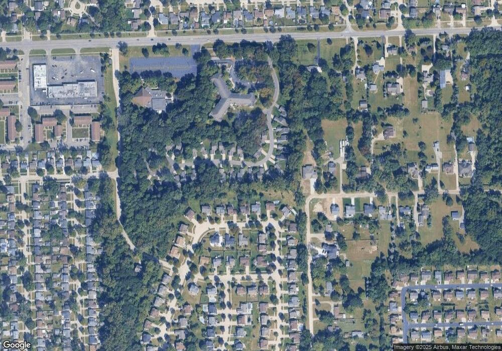
Map
Nearby Homes
- 38671 Belliveau St
- 39122 Dover St
- 8894 Knolson Ave
- 8364 Holly Dr
- 38876 Northfield Ave
- 9130 E Bassett Ct
- 9215 Westbury Ave
- 8231 Holly Dr
- 7655 Koppernick Rd
- 38489 Sycamore Ct Unit 89
- 9365 Tavistock Dr
- 40522 Newport Dr
- 38508 Alma Ln
- 9498 Bassett St
- 40526 Newport Dr Unit 99
- 40504 Newport Dr
- 40584 Newport Ct
- 37739 Northfield Ave
- 37742 Colonial Dr
- 40643 Newport Dr Unit 273
- 39233 Armstrong Ln
- 39257 Armstrong Ln
- 39269 Armstrong Ln
- 39221 Armstrong Ln Unit 8
- 39244 Armstrong Ln
- 39244 Armstrong Ln Unit 35
- 39256 Armstrong Ln
- 39281 Armstrong Ln
- 39209 Armstrong Ln
- 39268 Armstrong Ln
- 39268 Armstrong Ln Unit 33
- 39112 Forest Creek Dr
- 39124 Forest Creek Dr
- 39197 Armstrong Ln Unit 6
- 39100 Forest Creek Dr
- 39232 Armstrong Ln
- 39232 Armstrong Ln Unit 36
- 39136 Forest Creek Dr
- 39280 Armstrong Ln Unit 32
- 39185 Armstrong Ln Unit 5