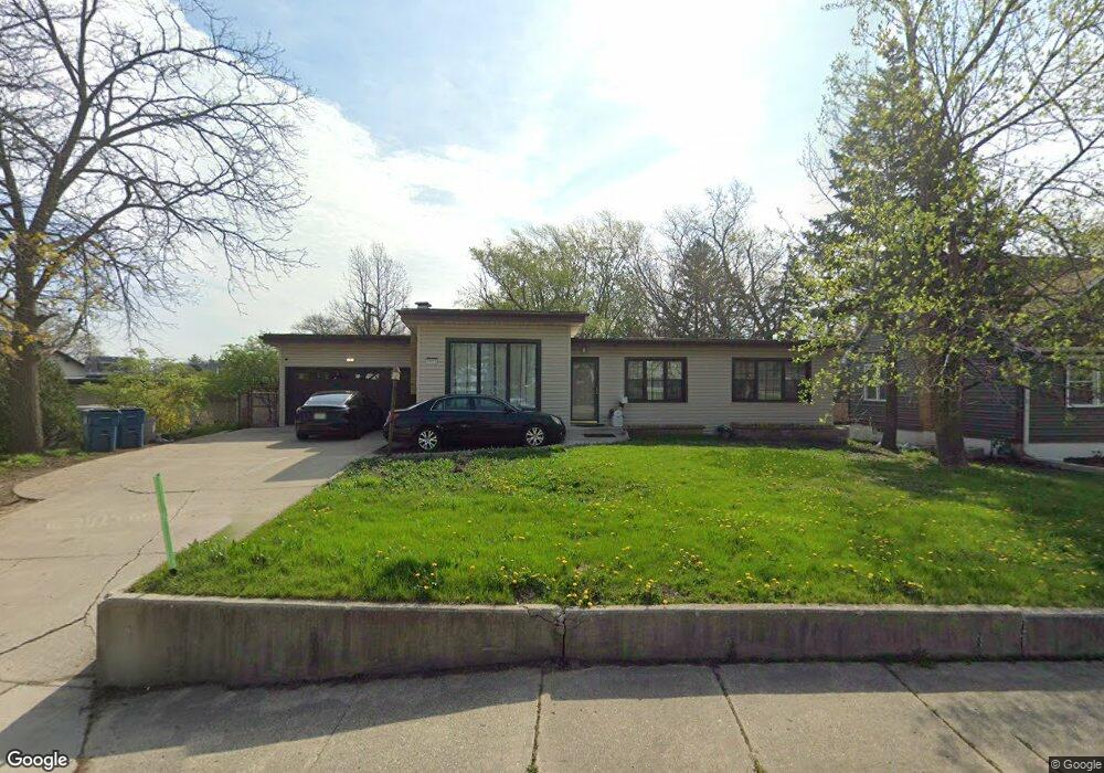
3925 Main St Downers Grove, IL 60515
Estimated Value: $293,000 - $414,000
--
Bed
--
Bath
1,226
Sq Ft
$290/Sq Ft
Est. Value
About This Home
This home is located at 3925 Main St, Downers Grove, IL 60515 and is currently estimated at $355,926, approximately $290 per square foot. 3925 Main St is a home located in DuPage County with nearby schools including Highland Elementary School, Herrick Middle School, and Downer Grove North High School.
Ownership History
Date
Name
Owned For
Owner Type
Purchase Details
Closed on
Dec 19, 2018
Sold by
Vandenbroucke Carolyn and Mickas Family Trust
Bought by
Ahmed Hashim
Current Estimated Value
Home Financials for this Owner
Home Financials are based on the most recent Mortgage that was taken out on this home.
Original Mortgage
$175,750
Interest Rate
3.1%
Mortgage Type
Unknown
Purchase Details
Closed on
Feb 22, 2011
Sold by
Mickas Leonard and Mickas Leocadia
Bought by
Mickas Family Trust
Create a Home Valuation Report for This Property
The Home Valuation Report is an in-depth analysis detailing your home's value as well as a comparison with similar homes in the area
Home Values in the Area
Average Home Value in this Area
Purchase History
| Date | Buyer | Sale Price | Title Company |
|---|---|---|---|
| Ahmed Hashim | $185,000 | Chicago Title | |
| Mickas Family Trust | -- | None Available |
Source: Public Records
Mortgage History
| Date | Status | Borrower | Loan Amount |
|---|---|---|---|
| Previous Owner | Ahmed Hashim | $175,750 |
Source: Public Records
Tax History Compared to Growth
Tax History
| Year | Tax Paid | Tax Assessment Tax Assessment Total Assessment is a certain percentage of the fair market value that is determined by local assessors to be the total taxable value of land and additions on the property. | Land | Improvement |
|---|---|---|---|---|
| 2024 | $6,443 | $112,533 | $61,798 | $50,735 |
| 2023 | $6,149 | $103,450 | $56,810 | $46,640 |
| 2022 | $5,738 | $97,500 | $53,540 | $43,960 |
| 2021 | $5,373 | $96,390 | $52,930 | $43,460 |
| 2020 | $4,664 | $94,480 | $51,880 | $42,600 |
| 2019 | $4,498 | $90,650 | $49,780 | $40,870 |
| 2018 | $4,287 | $86,000 | $49,460 | $36,540 |
| 2017 | $4,134 | $82,750 | $47,590 | $35,160 |
| 2016 | $4,032 | $78,980 | $45,420 | $33,560 |
| 2015 | $3,959 | $74,300 | $42,730 | $31,570 |
| 2014 | $3,801 | $69,970 | $41,550 | $28,420 |
| 2013 | $3,722 | $69,650 | $41,360 | $28,290 |
Source: Public Records
Map
Nearby Homes
- 4043 Saratoga Ave Unit D221
- 3919 Washington St
- 3939 Saratoga Ave Unit 214
- 4224 Saratoga Ave Unit 105
- 4250 Saratoga Ave Unit 305
- 4224 Saratoga Ave Unit 110
- 4133 Lindley St
- 3913 Saratoga Ave Unit G306
- 4133 Saratoga Ave Unit B220
- 4217 Main St
- 4220 Forest Ave
- 1136 Barneswood Dr
- 1219 Ogden Ave
- 4214 Venard Rd
- 1101 Barberry Ct
- Lot 3910 Sterling Rd
- 3730 Sterling Rd
- 4117 Sterling Rd
- 727 Grant St
- 4533 Highland Ave