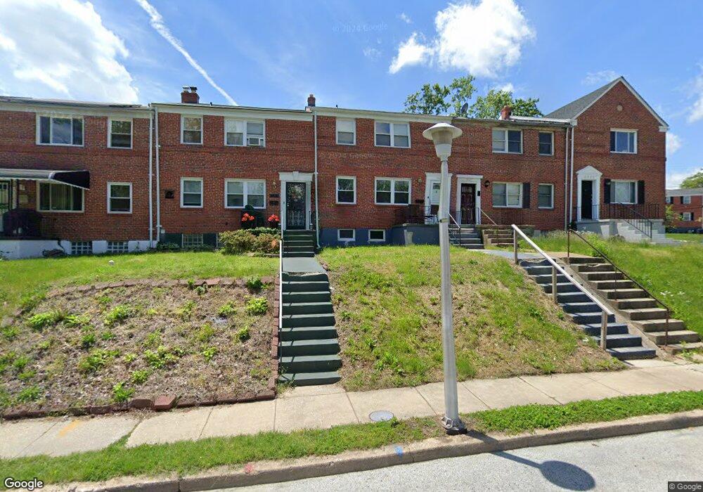
3925 Stokes Dr Baltimore, MD 21229
Edmondson Villiage NeighborhoodEstimated Value: $134,000 - $161,968
Studio
2
Baths
1,452
Sq Ft
$102/Sq Ft
Est. Value
About This Home
This home is located at 3925 Stokes Dr, Baltimore, MD 21229 and is currently estimated at $147,984, approximately $101 per square foot. 3925 Stokes Dr is a home located in Baltimore City with nearby schools including Booker T. Washington Middle School, Frederick Douglass High School, and Forest Park High School.
Ownership History
Date
Name
Owned For
Owner Type
Purchase Details
Closed on
Nov 7, 2022
Sold by
Fords Sixty-Three Llc
Bought by
Datona Properties Llc
Current Estimated Value
Purchase Details
Closed on
Jun 29, 2018
Sold by
Benzinger Investments Llc
Bought by
Johnson Latoya
Purchase Details
Closed on
Jul 14, 2011
Sold by
Buckley Letita V
Bought by
Benzinger Investments Llc
Purchase Details
Closed on
Dec 6, 2005
Sold by
Jmk Inc
Bought by
Buckley Letitia V
Purchase Details
Closed on
Oct 5, 2005
Sold by
Ligon Claude M
Bought by
Jmk Inc
Create a Home Valuation Report for This Property
The Home Valuation Report is an in-depth analysis detailing your home's value as well as a comparison with similar homes in the area
Home Values in the Area
Average Home Value in this Area
Purchase History
| Date | Buyer | Sale Price | Title Company |
|---|---|---|---|
| Datona Properties Llc | $109,200 | -- | |
| Johnson Latoya | -- | New World Title Co Llc | |
| Benzinger Investments Llc | $60,000 | -- | |
| Buckley Letitia V | $125,000 | -- | |
| Jmk Inc | $30,000 | -- |
Source: Public Records
Tax History
| Year | Tax Paid | Tax Assessment Tax Assessment Total Assessment is a certain percentage of the fair market value that is determined by local assessors to be the total taxable value of land and additions on the property. | Land | Improvement |
|---|---|---|---|---|
| 2025 | $3,233 | $148,467 | -- | -- |
| 2024 | $3,233 | $137,633 | -- | -- |
| 2023 | $2,992 | $126,800 | $25,000 | $101,800 |
| 2022 | $2,871 | $121,633 | $0 | $0 |
| 2021 | $2,749 | $116,467 | $0 | $0 |
| 2020 | $2,627 | $111,300 | $25,000 | $86,300 |
| 2019 | $2,590 | $110,267 | $0 | $0 |
| 2018 | $2,578 | $109,233 | $0 | $0 |
| 2017 | $2,554 | $108,200 | $0 | $0 |
| 2016 | -- | $103,667 | $0 | $0 |
| 2015 | -- | $99,133 | $0 | $0 |
| 2014 | -- | $94,600 | $0 | $0 |
Source: Public Records
Map
Nearby Homes
- 3806 Rokeby Rd
- 4139 Mountwood Rd
- 1215 N Augusta Ave
- 3812 Flowerton Rd
- 1212 N Augusta Ave
- 1244 N Augusta Ave
- 3716 Flowerton Rd
- 4100 Colborne Rd
- 3904 Woodridge Rd
- 3707 Colborne Rd
- 909 Allendale St
- 827 N Augusta Ave
- 733 Lyndhurst St
- 3706 Cranston Ave
- 805 N Woodington Rd
- 4237 Flowerton Rd
- 802 N Woodington Rd
- 703 N Augusta Ave
- 3700 Gelston Dr
- 901 Kevin Rd
- 3927 Stokes Dr
- 3923 Stokes Dr
- 3921 Stokes Dr
- 3929 Stokes Dr
- 3919 Stokes Dr
- 3901 Mountwood Rd
- 3917 Stokes Dr
- 3903 Mountwood Rd
- 3915 Stokes Dr
- 3905 Mountwood Rd
- 3913 Stokes Dr
- 3931 Stokes Dr
- 3907 Mountwood Rd
- 3911 Stokes Dr
- 3933 Stokes Dr
- 3909 Stokes Dr
- 3910 Glenhunt Rd
- 3912 Glenhunt Rd
- 3935 Stokes Dr
- 3935 Stokes Dr Unit 1
Your Personal Tour Guide
Ask me questions while you tour the home.