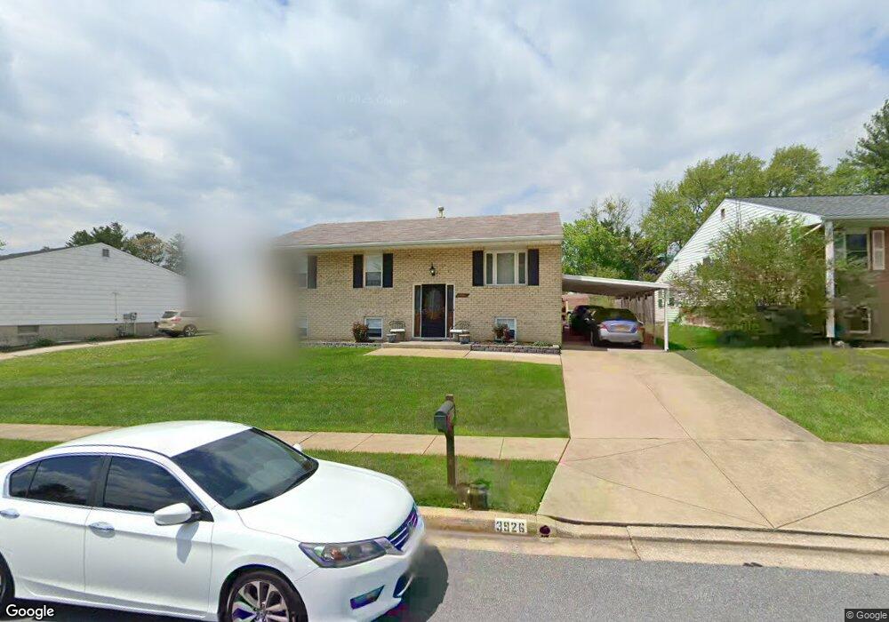
3926 Nemo Rd Randallstown, MD 21133
Estimated Value: $335,810 - $416,000
Studio
3
Baths
1,548
Sq Ft
$234/Sq Ft
Est. Value
About This Home
This home is located at 3926 Nemo Rd, Randallstown, MD 21133 and is currently estimated at $361,703, approximately $233 per square foot. 3926 Nemo Rd is a home located in Baltimore County with nearby schools including Winand Elementary School, Northwest Academy of Health Sciences, and Randallstown High School.
Ownership History
Date
Name
Owned For
Owner Type
Purchase Details
Closed on
Jun 2, 1994
Sold by
Sobel Paul R
Bought by
Green Phillip P
Current Estimated Value
Home Financials for this Owner
Home Financials are based on the most recent Mortgage that was taken out on this home.
Original Mortgage
$65,000
Interest Rate
8.49%
Purchase Details
Closed on
Apr 28, 1972
Sold by
Fairview Gardens Inc
Bought by
Sobel Paul R
Create a Home Valuation Report for This Property
The Home Valuation Report is an in-depth analysis detailing your home's value as well as a comparison with similar homes in the area
Home Values in the Area
Average Home Value in this Area
Purchase History
| Date | Buyer | Sale Price | Title Company |
|---|---|---|---|
| Green Phillip P | $125,000 | -- | |
| Sobel Paul R | $30,300 | -- |
Source: Public Records
Mortgage History
| Date | Status | Borrower | Loan Amount |
|---|---|---|---|
| Closed | Green Phillip P | $65,000 |
Source: Public Records
Tax History
| Year | Tax Paid | Tax Assessment Tax Assessment Total Assessment is a certain percentage of the fair market value that is determined by local assessors to be the total taxable value of land and additions on the property. | Land | Improvement |
|---|---|---|---|---|
| 2025 | $2,640 | $325,267 | -- | -- |
| 2024 | $2,640 | $302,600 | $72,500 | $230,100 |
| 2023 | $1,520 | $284,633 | $0 | $0 |
| 2022 | $2,177 | $266,667 | $0 | $0 |
| 2021 | $2,167 | $248,700 | $54,500 | $194,200 |
| 2020 | $2,167 | $244,967 | $0 | $0 |
| 2019 | $2,815 | $241,233 | $0 | $0 |
| 2018 | $1,930 | $237,500 | $54,500 | $183,000 |
| 2017 | $1,834 | $218,933 | $0 | $0 |
| 2016 | -- | $200,367 | $0 | $0 |
| 2015 | -- | $181,800 | $0 | $0 |
| 2014 | -- | $181,800 | $0 | $0 |
Source: Public Records
Map
Nearby Homes
- 8829 Sigrid Rd
- 4048 Carthage Rd
- 4006 Rouen Rd
- 4228 Red Ridge Way
- 8605 Lucerne Rd
- 4226 Huntshire Rd
- 4023 Paige View Rd
- 8604 Woodbrook Ct
- 8541 Lucerne Rd
- 1205/99 Winands Rd
- 3723 Eastman Rd
- 8809 Stone Ridge Cir Unit 204
- 8807 Stone Ridge Cir Unit 101
- 8811 Stoneridge Cir Unit 103
- 8905 Stone Creek Place Unit 201
- 9129 Marlove Oaks Ln
- 9202 Samoset Rd
- 8801 Stone Ridge Cir Unit T-2
- 9130 Marlove Oaks Ln
- 8513 Charlton Rd
Your Personal Tour Guide
Ask me questions while you tour the home.