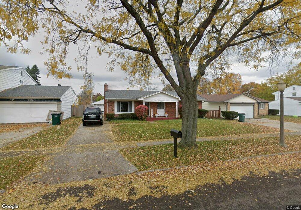
3926 Windward Dr Lansing, MI 48911
Lansing-Eaton NeighborhoodEstimated Value: $154,000 - $177,000
3
Beds
2
Baths
1,071
Sq Ft
$153/Sq Ft
Est. Value
About This Home
This home is located at 3926 Windward Dr, Lansing, MI 48911 and is currently estimated at $163,543, approximately $152 per square foot. 3926 Windward Dr is a home located in Eaton County with nearby schools including Averill Elementary School, Attwood School, and J.W. Sexton High School.
Ownership History
Date
Name
Owned For
Owner Type
Purchase Details
Closed on
Aug 30, 2007
Sold by
Armstead Erica L
Bought by
Deutsche Bank Trust Co Americas and Ixis 2006-He2
Current Estimated Value
Purchase Details
Closed on
Jan 7, 2006
Sold by
Armstead Erika L and Armstead Freddie
Bought by
Armstead Erica L
Home Financials for this Owner
Home Financials are based on the most recent Mortgage that was taken out on this home.
Original Mortgage
$104,800
Interest Rate
9.69%
Mortgage Type
New Conventional
Create a Home Valuation Report for This Property
The Home Valuation Report is an in-depth analysis detailing your home's value as well as a comparison with similar homes in the area
Home Values in the Area
Average Home Value in this Area
Purchase History
| Date | Buyer | Sale Price | Title Company |
|---|---|---|---|
| Deutsche Bank Trust Co Americas | $76,500 | None Available | |
| Armstead Erica L | -- | None Available |
Source: Public Records
Mortgage History
| Date | Status | Borrower | Loan Amount |
|---|---|---|---|
| Previous Owner | Armstead Erica L | $104,800 |
Source: Public Records
Tax History
| Year | Tax Paid | Tax Assessment Tax Assessment Total Assessment is a certain percentage of the fair market value that is determined by local assessors to be the total taxable value of land and additions on the property. | Land | Improvement |
|---|---|---|---|---|
| 2025 | $2,450 | $67,200 | $0 | $0 |
| 2024 | $4,349 | $63,300 | $0 | $0 |
| 2023 | $4,349 | $57,300 | $0 | $0 |
| 2022 | $2,105 | $51,500 | $0 | $0 |
| 2021 | $2,022 | $44,900 | $0 | $0 |
| 2020 | $2,012 | $42,800 | $0 | $0 |
| 2019 | $1,959 | $38,700 | $0 | $0 |
| 2018 | $1,821 | $32,600 | $0 | $0 |
| 2017 | $1,781 | $31,300 | $0 | $0 |
| 2016 | $1,389 | $31,200 | $0 | $0 |
| 2015 | -- | $31,400 | $0 | $0 |
| 2014 | -- | $32,400 | $0 | $0 |
| 2013 | -- | $33,800 | $0 | $0 |
Source: Public Records
Map
Nearby Homes
- 3725 Alpine Dr
- 3924 Wedgewood Dr
- 4130 Windward Dr
- 4400 Chadburne Dr
- 3700 W Holmes Rd
- 3536 Maybel St
- 3214 Rayborn Dr
- 3618 Malibu Dr
- 3100 Glenbrook Dr
- 2800 S Waverly Rd
- 3401 S Deerfield Ave
- 3428 W Jolly Rd
- 3230 S Deerfield Ave
- 0 S Deerfield Ave
- 3600 Sandhurst Dr
- 3214 Raynell St
- 3211 S Deerfield Ave
- 2838 Sunderland Rd
- 3907 Ingham St
- 2 Locust Ln
- 3920 Windward Dr
- 3932 Windward Dr
- 3916 Windward Dr
- 3910 Windward Dr
- 3927 Windward Dr
- 3944 Windward Dr
- 3921 Windward Dr
- 3933 Windward Dr
- 3917 Windward Dr
- 3939 Windward Dr
- 3901 Bayview Dr
- 3900 Windward Dr
- 3911 Windward Dr
- 3950 Windward Dr
- 3945 Windward Dr
- 3926 Windemere Dr
- 3932 Windemere Dr
- 3920 Windemere Dr
Your Personal Tour Guide
Ask me questions while you tour the home.