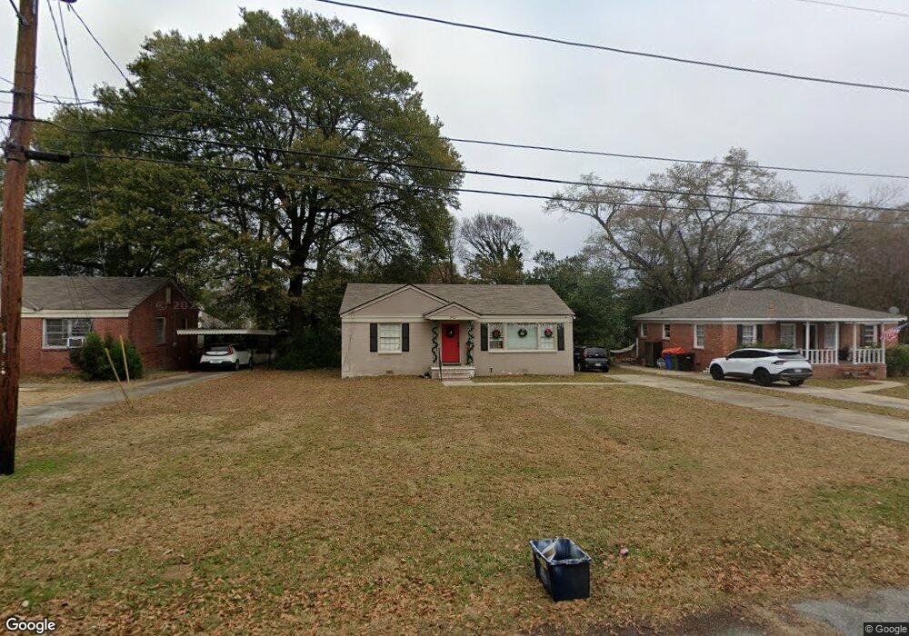
3927 Austin Dr Columbus, GA 31909
North Columbus NeighborhoodEstimated Value: $114,000 - $140,000
3
Beds
2
Baths
1,053
Sq Ft
$124/Sq Ft
Est. Value
About This Home
This home is located at 3927 Austin Dr, Columbus, GA 31909 and is currently estimated at $130,868, approximately $124 per square foot. 3927 Austin Dr is a home located in Muscogee County with nearby schools including Gentian Elementary School, Midland Middle School, and Hardaway High School.
Ownership History
Date
Name
Owned For
Owner Type
Purchase Details
Closed on
Sep 1, 2017
Sold by
Taylor Marie
Bought by
Bryce Tandy Investments Llc
Current Estimated Value
Home Financials for this Owner
Home Financials are based on the most recent Mortgage that was taken out on this home.
Original Mortgage
$72,250
Interest Rate
3.93%
Mortgage Type
New Conventional
Create a Home Valuation Report for This Property
The Home Valuation Report is an in-depth analysis detailing your home's value as well as a comparison with similar homes in the area
Home Values in the Area
Average Home Value in this Area
Purchase History
| Date | Buyer | Sale Price | Title Company |
|---|---|---|---|
| Bryce Tandy Investments Llc | $85,000 | -- |
Source: Public Records
Mortgage History
| Date | Status | Borrower | Loan Amount |
|---|---|---|---|
| Closed | Bryce Tandy Investments Llc | $72,250 |
Source: Public Records
Tax History
| Year | Tax Paid | Tax Assessment Tax Assessment Total Assessment is a certain percentage of the fair market value that is determined by local assessors to be the total taxable value of land and additions on the property. | Land | Improvement |
|---|---|---|---|---|
| 2025 | $1,561 | $39,884 | $8,048 | $31,836 |
| 2024 | $1,561 | $39,884 | $8,048 | $31,836 |
| 2023 | $1,571 | $39,884 | $8,048 | $31,836 |
| 2022 | $1,342 | $32,860 | $8,048 | $24,812 |
| 2021 | $1,270 | $31,092 | $8,048 | $23,044 |
| 2020 | $1,270 | $31,092 | $8,048 | $23,044 |
| 2019 | $1,274 | $31,092 | $8,048 | $23,044 |
| 2018 | $1,274 | $31,092 | $8,048 | $23,044 |
| 2017 | $1,278 | $31,092 | $8,048 | $23,044 |
| 2016 | $1,316 | $31,903 | $2,767 | $29,136 |
| 2015 | $1,318 | $31,903 | $2,767 | $29,136 |
| 2014 | $1,319 | $31,903 | $2,767 | $29,136 |
| 2013 | -- | $31,903 | $2,767 | $29,136 |
Source: Public Records
Map
Nearby Homes
- 5408 Moon Rd
- 5224 Miller Rd
- 3630 Vernon Dr
- 5502 Southlea Ln
- 3514 Vernon Dr
- 3504 Vernon Dr
- 5820 Windsor Dr
- 5823 Pratt Ave
- 5829 Moon Rd
- 4630 Fairview Dr
- 4230 Carlene Dr
- 5926 Frazier Dr
- 5836 Sherborne Dr
- 5741 Eastside Dr
- 4102 Norwood Dr
- 4133 Pickering Dr
- 5921 Canterbury Dr
- 4437 Ansley Ave
- 6002 Canterbury Dr
- 4320 Canady St
- 3919 Austin Dr
- 3935 Austin Dr
- 3888 Hampton Ct
- 3943 Austin Dr
- 3911 Austin Dr
- 3894 Hampton Ct
- 3882 Hampton Ct
- 5325 Emily Dr
- 3876 Hampton Ct
- 5321 Emily Dr
- 3951 Austin Dr
- 3936 Austin Dr
- 3928 Austin Dr
- 3942 Austin Dr
- 3893 Hampton Ct
- 3920 Austin Dr
- 5315 Emily Dr
- 3946 Austin Dr
- 3887 Hampton Ct
- 3959 Austin Dr
Your Personal Tour Guide
Ask me questions while you tour the home.