3927 Colonel Vanderhorst Cir Mount Pleasant, SC 29466
Dunes West NeighborhoodEstimated Value: $2,016,000 - $2,402,000
5
Beds
6
Baths
4,806
Sq Ft
$468/Sq Ft
Est. Value
About This Home
This home is located at 3927 Colonel Vanderhorst Cir, Mount Pleasant, SC 29466 and is currently estimated at $2,250,589, approximately $468 per square foot. 3927 Colonel Vanderhorst Cir is a home located in Charleston County with nearby schools including Charles Pinckney Elementary School, Laurel Hill Primary School, and Thomas C. Cario Middle School.
Ownership History
Date
Name
Owned For
Owner Type
Purchase Details
Closed on
Oct 4, 2010
Sold by
Trull William J and Trull Elizabeth K
Bought by
Zimmerman Donald and Zimmerman Patricia
Current Estimated Value
Purchase Details
Closed on
Mar 16, 2006
Sold by
Haigh Linda Sanders
Bought by
Trull William J and Trull Elizabeth K
Purchase Details
Closed on
Sep 28, 2001
Sold by
Deal Samuel O Deal Stacy P
Bought by
Haigh Linda Sanders
Purchase Details
Closed on
Apr 25, 2000
Sold by
Wells James D and Wells Joyce C
Bought by
Deal Samuel O and Deal Stacy P
Create a Home Valuation Report for This Property
The Home Valuation Report is an in-depth analysis detailing your home's value as well as a comparison with similar homes in the area
Home Values in the Area
Average Home Value in this Area
Purchase History
| Date | Buyer | Sale Price | Title Company |
|---|---|---|---|
| Zimmerman Donald | $1,210,000 | -- | |
| Trull William J | $840,000 | None Available | |
| Haigh Linda Sanders | $390,000 | -- | |
| Deal Samuel O | $335,000 | -- |
Source: Public Records
Tax History Compared to Growth
Tax History
| Year | Tax Paid | Tax Assessment Tax Assessment Total Assessment is a certain percentage of the fair market value that is determined by local assessors to be the total taxable value of land and additions on the property. | Land | Improvement |
|---|---|---|---|---|
| 2024 | $5,625 | $52,780 | $0 | $0 |
| 2023 | $4,977 | $52,780 | $0 | $0 |
| 2022 | $4,646 | $52,780 | $0 | $0 |
| 2021 | $5,133 | $52,780 | $0 | $0 |
| 2020 | $5,287 | $52,780 | $0 | $0 |
| 2019 | $4,673 | $46,870 | $0 | $0 |
| 2017 | $4,602 | $46,870 | $0 | $0 |
| 2016 | $4,368 | $46,870 | $0 | $0 |
| 2015 | $4,579 | $46,870 | $0 | $0 |
| 2014 | $4,201 | $0 | $0 | $0 |
| 2011 | -- | $0 | $0 | $0 |
Source: Public Records
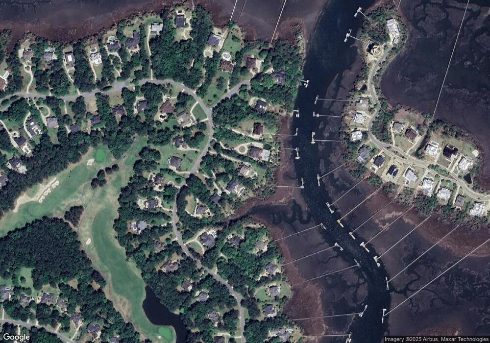
Map
Nearby Homes
- 2508 Willington Ct
- 3708 Colonel Vanderhorst Cir
- 4051 Colonel Vanderhorst Cir
- 3765 Colonel Vanderhorst Cir
- 4145 Colonel Vanderhorst Cir
- 1912 Hall Point Rd
- 1849 Shell Ring Cir
- 3052 Ashburton Way
- 2406 Wagner Creek Ct
- 1777 Wellstead St
- 2942 River Vista Way
- 2296 Beckenham Dr
- 1563 Capel St
- 2254 Beckenham Dr
- 2991 River Vista Way
- 2196 Beckenham Dr
- 3011 River Vista Way
- 3232 Pignatelli Crescent
- 1476 Cat Island Pkwy
- 2064 Promenade Ct
- 3923 Colonel Vanderhorst Cir
- 3931 Colonel Vanderhorst Cir
- 3935 Colonel Vanderhorst Cir
- 3909 Colonel Vanderhorst Cir
- 3930 Colonel Vanderhorst Cir
- 3865 Colonel Vanderhorst Cir
- 3861 Colonel Vanderhorst Cir
- 3924 Colonel Vanderhorst Cir
- 3871 Colonel Vanderhorst Cir
- 3992 Colonel Vanderhorst Cir
- 3918 Colonel Vanderhorst Cir
- 4002 Colonel Vanderhorst Cir
- 3857 Colonel Vanderhorst Cir
- 3910 Colonel Vanderhorst Cir
- 2518 Willington Ct
- 2507 Willington Ct
- 2517 Willington Ct
- 3940 Ashton Shore Ln
- 3944 Ashton Shore Ln
- 3902 Colonel Vanderhorst Cir