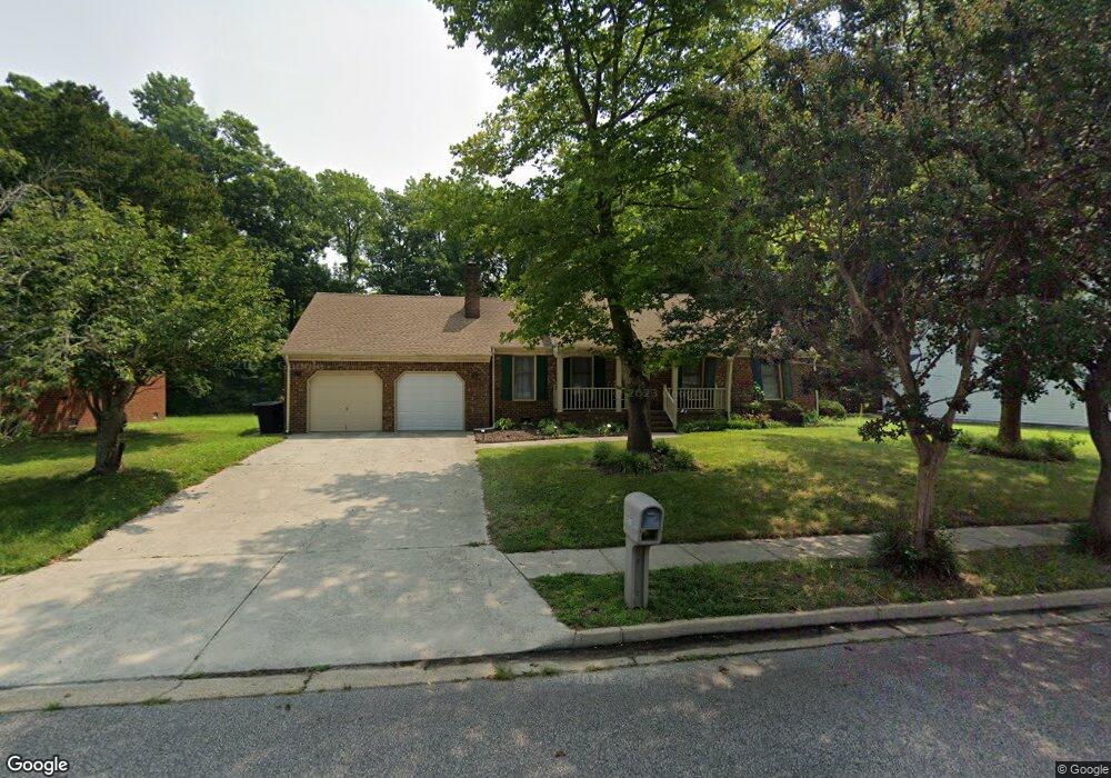
3927 Long Point Blvd Portsmouth, VA 23703
Churchland NeighborhoodEstimated Value: $368,000 - $394,000
3
Beds
2
Baths
1,936
Sq Ft
$198/Sq Ft
Est. Value
About This Home
This home is located at 3927 Long Point Blvd, Portsmouth, VA 23703 and is currently estimated at $383,257, approximately $197 per square foot. 3927 Long Point Blvd is a home located in Portsmouth City with nearby schools including Churchland Primary/Intermediate School, Churchland Middle School, and Churchland High School.
Ownership History
Date
Name
Owned For
Owner Type
Purchase Details
Closed on
Sep 19, 2022
Sold by
Williamson Frank C
Bought by
Athanasiadis Devra C and Baker Ryan
Current Estimated Value
Home Financials for this Owner
Home Financials are based on the most recent Mortgage that was taken out on this home.
Original Mortgage
$269,637
Outstanding Balance
$257,181
Interest Rate
5.22%
Mortgage Type
FHA
Estimated Equity
$126,076
Purchase Details
Closed on
Oct 15, 2010
Sold by
Mcknight Jerry B
Bought by
Williamson Frank C
Home Financials for this Owner
Home Financials are based on the most recent Mortgage that was taken out on this home.
Original Mortgage
$254,353
Interest Rate
4.41%
Mortgage Type
VA
Create a Home Valuation Report for This Property
The Home Valuation Report is an in-depth analysis detailing your home's value as well as a comparison with similar homes in the area
Home Values in the Area
Average Home Value in this Area
Purchase History
| Date | Buyer | Sale Price | Title Company |
|---|---|---|---|
| Athanasiadis Devra C | $325,000 | -- | |
| Williamson Frank C | $249,000 | -- |
Source: Public Records
Mortgage History
| Date | Status | Borrower | Loan Amount |
|---|---|---|---|
| Open | Athanasiadis Devra C | $269,637 | |
| Previous Owner | Williamson Frank C | $254,353 |
Source: Public Records
Tax History Compared to Growth
Tax History
| Year | Tax Paid | Tax Assessment Tax Assessment Total Assessment is a certain percentage of the fair market value that is determined by local assessors to be the total taxable value of land and additions on the property. | Land | Improvement |
|---|---|---|---|---|
| 2025 | $4,162 | $343,570 | $92,630 | $250,940 |
| 2024 | $4,162 | $324,500 | $92,630 | $231,870 |
| 2023 | $3,723 | $297,800 | $92,630 | $205,170 |
| 2022 | $3,607 | $277,440 | $77,190 | $200,250 |
| 2021 | $3,068 | $235,980 | $64,330 | $171,650 |
| 2020 | $2,953 | $227,180 | $61,260 | $165,920 |
| 2019 | $2,929 | $225,280 | $61,260 | $164,020 |
| 2018 | $2,929 | $225,280 | $61,260 | $164,020 |
| 2017 | $2,929 | $225,280 | $61,260 | $164,020 |
| 2016 | $2,829 | $217,650 | $61,260 | $156,390 |
| 2015 | $2,829 | $217,650 | $61,260 | $156,390 |
| 2014 | $2,764 | $217,650 | $61,260 | $156,390 |
Source: Public Records
Map
Nearby Homes
- 3866 Augustine Cir
- 17 Shoal Ct
- 3818 Peach Orchard Cir
- 3877 Peachtree Ln W
- 3860 Sugar Creek Cir
- 4100 Mayfair Way
- 3913 Stateflower Ct
- 8 Compass Ct
- 3817 Harvest Ct
- 4071 Long Point Blvd
- 3660B Towne Point Rd Unit A
- 5807 Dunkin St
- 3433 Willow Breeze Dr
- 3791 Towne Point Rd
- 6446 Olde Bullocks Cir
- 6417 Pelican Crescent N
- 3715 Magnolia Dr
- 4200 Quince Rd
- 3705 Bamboo Rd
- 3616 Bowden St
- 3931 Long Point Blvd
- 3923 Long Point Blvd
- 4020 Breakwater Dr
- 3935 Long Point Blvd
- 4024 Breakwater Dr
- 3919 Long Point Blvd
- 3928 Long Point Blvd
- 4016 Breakwater Dr
- 3924 Long Point Blvd
- 3932 Long Point Blvd
- 4008 Breakwater Dr
- 3939 Long Point Blvd
- 4028 Breakwater Dr
- 3920 Long Point Blvd
- 4012 Breakwater Dr
- 3936 Long Point Blvd
- 3905 Long Point Blvd
- 4004 Ebbtide Ln
- 4041 Ketch Dr
- 2 Sail Ct