Estimated Value: $211,650 - $254,000
3
Beds
1
Bath
1,075
Sq Ft
$214/Sq Ft
Est. Value
About This Home
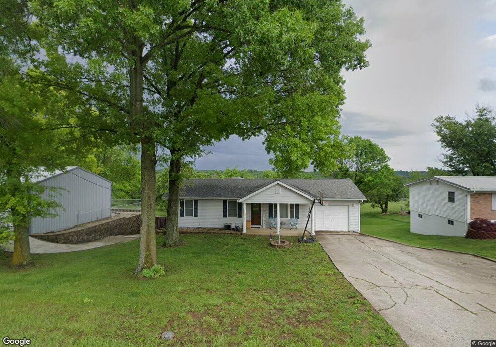
This home is located at 3928 Highway A, Union, MO 63084 and is currently estimated at $230,550, approximately $214 per square foot. 3928 Highway A is a home located in Franklin County with nearby schools including Union High School, Immaculate Conception School, and St. Gertrude Catholic School.
Ownership History
Date
Name
Owned For
Owner Type
Purchase Details
Closed on
Jan 25, 2022
Sold by
Schultz Jr Michael J and Schultz Ashton C
Bought by
Schultz Ashton C
Current Estimated Value
Purchase Details
Closed on
Dec 28, 2011
Sold by
Elliott Steven H and Elliott Barbara S
Bought by
Schultz Ashton C and Schultz Michael J
Home Financials for this Owner
Home Financials are based on the most recent Mortgage that was taken out on this home.
Original Mortgage
$130,000
Interest Rate
4.03%
Mortgage Type
New Conventional
Create a Home Valuation Report for This Property
The Home Valuation Report is an in-depth analysis detailing your home's value as well as a comparison with similar homes in the area
Home Values in the Area
Average Home Value in this Area
Purchase History
| Date | Buyer | Sale Price | Title Company |
|---|---|---|---|
| Schultz Ashton C | -- | None Listed On Document | |
| Schultz Ashton C | -- | None Available |
Source: Public Records
Mortgage History
| Date | Status | Borrower | Loan Amount |
|---|---|---|---|
| Previous Owner | Schultz Ashton C | $130,000 |
Source: Public Records
Tax History
| Year | Tax Paid | Tax Assessment Tax Assessment Total Assessment is a certain percentage of the fair market value that is determined by local assessors to be the total taxable value of land and additions on the property. | Land | Improvement |
|---|---|---|---|---|
| 2025 | $1,581 | $29,942 | $0 | $0 |
| 2024 | $1,581 | $27,472 | $0 | $0 |
| 2023 | $1,466 | $27,472 | $0 | $0 |
| 2022 | $1,310 | $24,491 | $0 | $0 |
| 2021 | $1,313 | $24,491 | $0 | $0 |
| 2020 | $1,199 | $22,057 | $0 | $0 |
| 2019 | $1,196 | $22,057 | $0 | $0 |
| 2018 | $1,058 | $20,676 | $0 | $0 |
| 2017 | $1,062 | $20,676 | $0 | $0 |
| 2016 | $1,041 | $19,745 | $0 | $0 |
| 2015 | $1,022 | $19,745 | $0 | $0 |
| 2014 | $1,010 | $19,416 | $0 | $0 |
Source: Public Records
Map
Nearby Homes
- 406 Emma Ln
- 435 Eve Estates Dr
- 3732 Highway A
- 1016 Westmoreland Blvd
- 1552 Clearview Rd
- 1008 N Washington Ave
- 105 E Roosevelt Ave
- 21 Forest Ln
- 910 N Church St
- 207 E Park Ave
- 1157 Rock Rd
- 54 Hickory Cir
- 000 Mo-V
- 0 Highway V
- 5950 Highway V
- 613 W State St
- 413 W State St
- 914 W State St
- 4 Lindner Ln
- 1122 Old County Farm Rd
- 3932 Highway A
- 3934 Highway A
- 3923 Highway A
- 3933 Highway A
- 3944 Highway A
- 3908 Highway A
- 3943 Highway A
- 500 Eagle Ridge Dr
- 602 Eagle Ridge Dr
- 3950 Highway A
- 3962 Highway A
- 628 Eagle Ridge Dr Unit 630
- 3947 Highway A
- 504 Eagle Ridge Dr
- 3952 Highway A
- 508 Eagle Ridge Dr
- 3895 Highway A
- 510 Eagle Ridge Dr
- 3955 Highway A
- 503 Eagle Ridge Dr
Your Personal Tour Guide
Ask me questions while you tour the home.