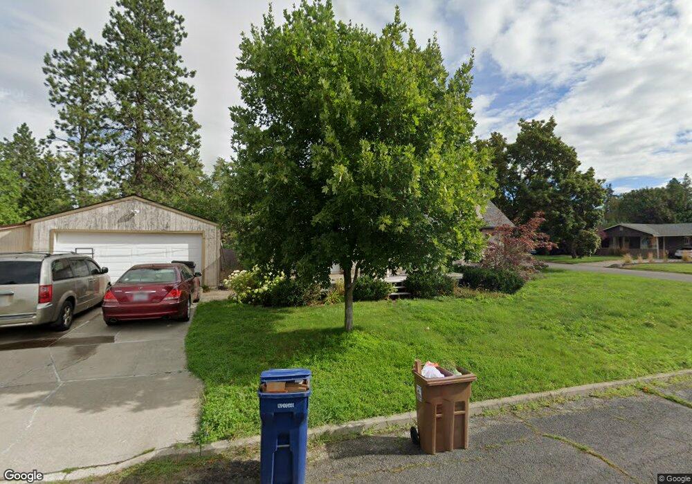
3928 S Latawah St Spokane, WA 99203
Comstock NeighborhoodEstimated Value: $367,000 - $437,000
3
Beds
1
Bath
1,343
Sq Ft
$299/Sq Ft
Est. Value
About This Home
This home is located at 3928 S Latawah St, Spokane, WA 99203 and is currently estimated at $401,068, approximately $298 per square foot. 3928 S Latawah St is a home located in Spokane County with nearby schools including Jefferson Elementary School, Sacajawea Middle School, and Lewis & Clark High School.
Ownership History
Date
Name
Owned For
Owner Type
Purchase Details
Closed on
Mar 6, 2003
Sold by
Lewis Anne Marie and Maupin Kenneth L
Bought by
Wiley Michael R
Current Estimated Value
Home Financials for this Owner
Home Financials are based on the most recent Mortgage that was taken out on this home.
Original Mortgage
$105,500
Outstanding Balance
$45,255
Interest Rate
5.85%
Mortgage Type
Purchase Money Mortgage
Estimated Equity
$355,813
Create a Home Valuation Report for This Property
The Home Valuation Report is an in-depth analysis detailing your home's value as well as a comparison with similar homes in the area
Home Values in the Area
Average Home Value in this Area
Purchase History
| Date | Buyer | Sale Price | Title Company |
|---|---|---|---|
| Wiley Michael R | $105,500 | First American Title Ins |
Source: Public Records
Mortgage History
| Date | Status | Borrower | Loan Amount |
|---|---|---|---|
| Open | Wiley Michael R | $105,500 |
Source: Public Records
Tax History Compared to Growth
Tax History
| Year | Tax Paid | Tax Assessment Tax Assessment Total Assessment is a certain percentage of the fair market value that is determined by local assessors to be the total taxable value of land and additions on the property. | Land | Improvement |
|---|---|---|---|---|
| 2025 | $3,185 | $329,700 | $105,000 | $224,700 |
| 2024 | $3,185 | $320,800 | $80,000 | $240,800 |
| 2023 | $3,038 | $328,100 | $80,000 | $248,100 |
| 2022 | $3,038 | $310,400 | $69,600 | $240,800 |
| 2021 | $2,721 | $228,560 | $63,360 | $165,200 |
| 2020 | $2,569 | $207,860 | $63,360 | $144,500 |
| 2019 | $2,303 | $192,500 | $57,600 | $134,900 |
| 2018 | $2,329 | $167,300 | $48,000 | $119,300 |
| 2017 | $2,098 | $153,400 | $43,000 | $110,400 |
| 2016 | $2,080 | $148,800 | $43,000 | $105,800 |
| 2015 | $2,009 | $140,600 | $43,000 | $97,600 |
| 2014 | -- | $137,100 | $43,000 | $94,100 |
| 2013 | -- | $0 | $0 | $0 |
Source: Public Records
Map
Nearby Homes
- 4118 S Sherman St
- 504 E 41st Ave
- 807 E 40th Ave
- 704 E High Dr
- 904 E 40th Ave
- 4217 S Scott St
- 925 E Thurston Ave
- 4402 S Saint Andrews Ln
- 929 E 41st Ave
- 3415 S Grand Blvd
- 3420 S Tekoa St
- 3524 S Division St Unit Not the busy road
- 44 E 34th Ave
- 7 E 34th Ave
- 1104 E 43rd Ave
- 3121 S Manito Blvd
- 204 W 36th Ave
- 4125 S Laura St
- 1111 E 37th Ave
- 814 E 32nd Ave
- 3922 S Latawah St
- 3918 S Latawah St
- 320 E 40th Ave
- 3927 S Lamonte St
- 3921 S Lamonte St
- 3914 S Latawah St
- 4005 S Lamonte St
- 3915 S Lamonte St
- 4012 S Latawah St
- 3908 S Latawah St
- 401 E 40th Ave
- 3923 S Latawah St
- 3917 S Latawah St
- 4011 S Lamonte St
- 4003 S Latawah St
- 320 E 39th Ave
- 3905 S Lamonte St
- 3911 S Latawah St
- 4020 S Latawah St
- 4009 S Latawah St