39280 Armstrong Ln Unit 32 Westland, MI 48185
Estimated Value: $237,691 - $326,000
2
Beds
2
Baths
1,156
Sq Ft
$236/Sq Ft
Est. Value
About This Home
This home is located at 39280 Armstrong Ln Unit 32, Westland, MI 48185 and is currently estimated at $273,173, approximately $236 per square foot. 39280 Armstrong Ln Unit 32 is a home located in Wayne County with nearby schools including Rosedale Elementary, Johnson Upper Elementary School, and Frost Middle School.
Ownership History
Date
Name
Owned For
Owner Type
Purchase Details
Closed on
Sep 30, 2010
Sold by
Momany Richard B and Momany Loretta
Bought by
Momany Richard B and Momany Loretta
Current Estimated Value
Purchase Details
Closed on
Jul 1, 2009
Sold by
Golen John W
Bought by
Momany Richard B and Momany Loretta
Purchase Details
Closed on
May 31, 2006
Sold by
Golen June R
Bought by
Golen June R
Purchase Details
Closed on
Jun 24, 1998
Sold by
Bernardi Angeline and Bernardi Fred
Bought by
Golen R
Create a Home Valuation Report for This Property
The Home Valuation Report is an in-depth analysis detailing your home's value as well as a comparison with similar homes in the area
Home Values in the Area
Average Home Value in this Area
Purchase History
| Date | Buyer | Sale Price | Title Company |
|---|---|---|---|
| Momany Richard B | -- | None Available | |
| Momany Richard B | $102,000 | Title Direct Agency Llc | |
| Golen June R | -- | None Available | |
| Golen R | $137,000 | -- |
Source: Public Records
Tax History Compared to Growth
Tax History
| Year | Tax Paid | Tax Assessment Tax Assessment Total Assessment is a certain percentage of the fair market value that is determined by local assessors to be the total taxable value of land and additions on the property. | Land | Improvement |
|---|---|---|---|---|
| 2025 | $2,483 | $104,400 | $0 | $0 |
| 2024 | $2,483 | $91,700 | $0 | $0 |
| 2023 | $2,371 | $81,200 | $0 | $0 |
| 2022 | $2,689 | $75,300 | $0 | $0 |
| 2021 | $2,622 | $72,500 | $0 | $0 |
| 2020 | $2,594 | $70,500 | $0 | $0 |
| 2019 | $2,465 | $66,700 | $0 | $0 |
| 2018 | $2,001 | $63,800 | $0 | $0 |
| 2017 | $782 | $61,900 | $0 | $0 |
| 2016 | $2,347 | $62,000 | $0 | $0 |
| 2015 | $4,872 | $58,110 | $0 | $0 |
| 2013 | $4,720 | $54,120 | $0 | $0 |
| 2012 | $2,022 | $46,090 | $0 | $0 |
Source: Public Records
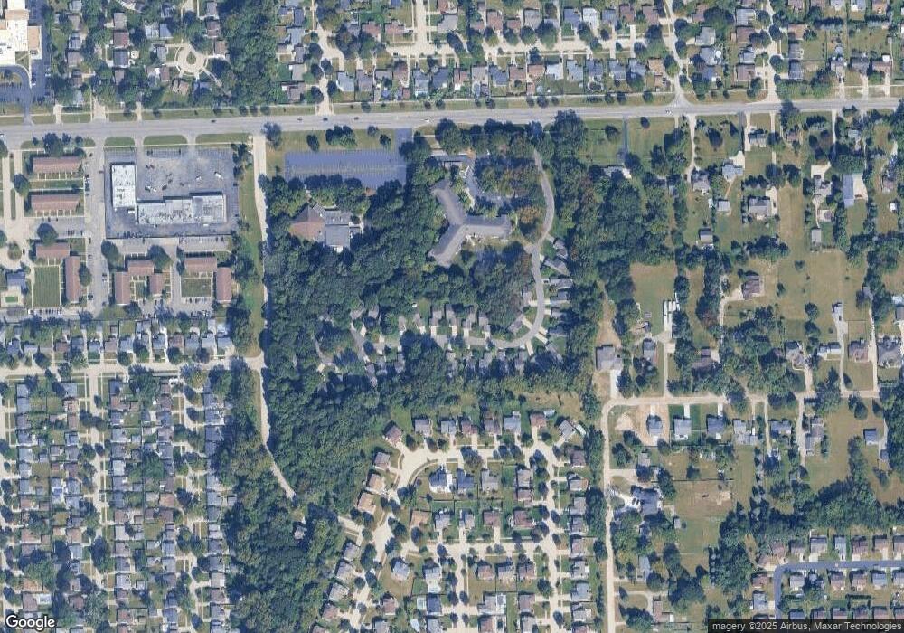
Map
Nearby Homes
- 38671 Belliveau St
- 39122 Dover St
- The Chelsea Plan at Walton Oaks
- The Superior Plan at Walton Oaks
- The St. Clair Plan at Walton Oaks
- 8894 Knolson Ave
- 8364 Holly Dr
- 38876 Northfield Ave
- 9130 E Bassett Ct
- 9215 Westbury Ave
- 8231 Holly Dr
- 9365 Tavistock Dr
- 7655 Koppernick Rd
- 40522 Newport Dr
- 40526 Newport Dr Unit 99
- 9498 Bassett St
- 38489 Sycamore Ct Unit 89
- 40504 Newport Dr
- 40584 Newport Ct
- 38508 Alma Ln
- 39292 Armstrong Ln
- 39268 Armstrong Ln
- 39268 Armstrong Ln Unit 33
- 39304 Armstrong Ln
- 39256 Armstrong Ln
- 39316 Armstrong Ln
- 39316 Armstrong Ln Unit 29
- 39281 Armstrong Ln
- 39269 Armstrong Ln
- 39293 Armstrong Ln
- 39257 Armstrong Ln
- 39328 Armstrong Ln
- 39244 Armstrong Ln
- 39244 Armstrong Ln Unit 35
- 39305 Armstrong Ln
- 39245 Armstrong Ln Unit 10
- 39232 Armstrong Ln
- 39232 Armstrong Ln Unit 36
- 39340 Armstrong Ln Unit 27
- 39317 Armstrong Ln