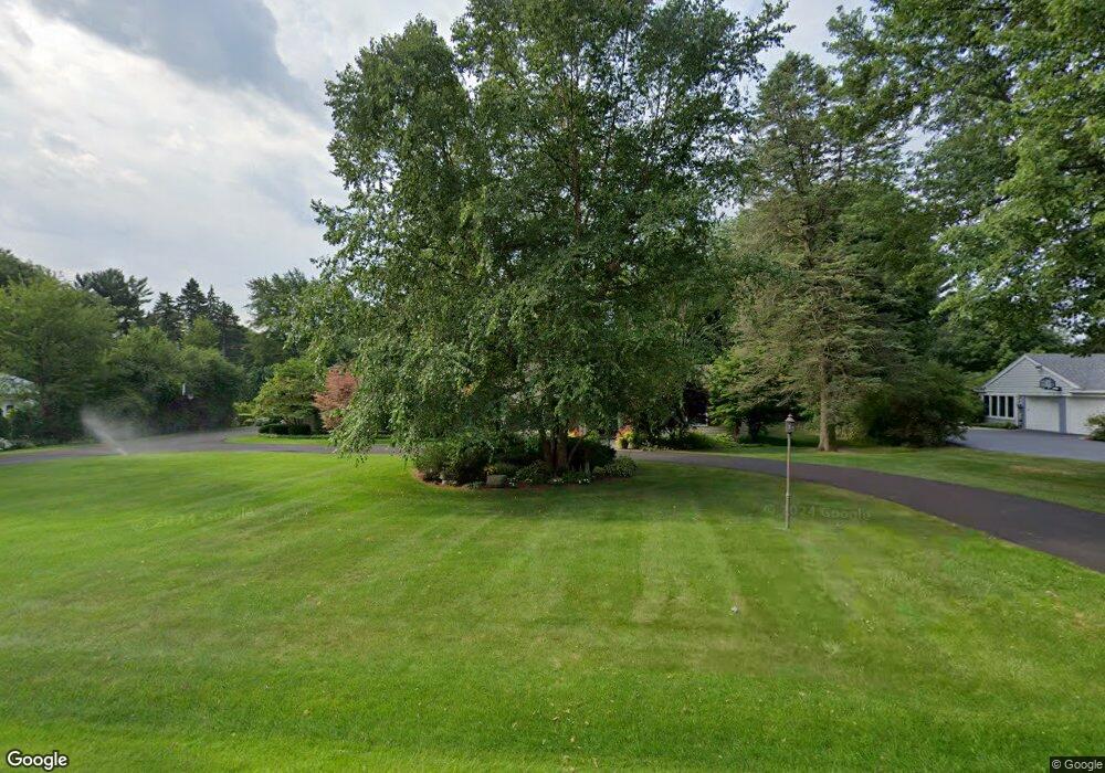
3929 Cottontail Ln Bloomfield Hills, MI 48301
Estimated Value: $824,000 - $1,225,000
4
Beds
4
Baths
2,848
Sq Ft
$374/Sq Ft
Est. Value
About This Home
This home is located at 3929 Cottontail Ln, Bloomfield Hills, MI 48301 and is currently estimated at $1,064,260, approximately $373 per square foot. 3929 Cottontail Ln is a home located in Oakland County with nearby schools including Conant Elementary School, South Hills Middle School, and Bloomfield Hills High School.
Ownership History
Date
Name
Owned For
Owner Type
Purchase Details
Closed on
Apr 12, 2004
Sold by
Saperstein Melvyn D
Bought by
Saperstein Melvyn D and Saperstein Linda A
Current Estimated Value
Create a Home Valuation Report for This Property
The Home Valuation Report is an in-depth analysis detailing your home's value as well as a comparison with similar homes in the area
Home Values in the Area
Average Home Value in this Area
Purchase History
| Date | Buyer | Sale Price | Title Company |
|---|---|---|---|
| Saperstein Melvyn D | -- | Philip R Seaver Title Co Inc |
Source: Public Records
Tax History Compared to Growth
Tax History
| Year | Tax Paid | Tax Assessment Tax Assessment Total Assessment is a certain percentage of the fair market value that is determined by local assessors to be the total taxable value of land and additions on the property. | Land | Improvement |
|---|---|---|---|---|
| 2024 | $4,753 | $429,790 | $0 | $0 |
| 2023 | $4,599 | $392,650 | $0 | $0 |
| 2022 | $8,643 | $368,090 | $0 | $0 |
| 2021 | $8,582 | $322,110 | $0 | $0 |
| 2020 | $4,207 | $294,620 | $0 | $0 |
| 2019 | $8,075 | $286,530 | $0 | $0 |
| 2018 | $8,112 | $268,740 | $0 | $0 |
| 2017 | $8,054 | $263,700 | $0 | $0 |
| 2016 | $8,069 | $258,010 | $0 | $0 |
| 2015 | -- | $247,900 | $0 | $0 |
| 2014 | -- | $223,190 | $0 | $0 |
| 2011 | -- | $188,750 | $0 | $0 |
Source: Public Records
Map
Nearby Homes
- 5741 Snowshoe Cir
- 6360 Hills Dr
- 6450 Gilbert Lake Rd
- 5630 S Adams Way
- 750 Trailwood Path Unit B
- 450 Billingsgate Ct Unit C
- 1760 Trailwood Path
- 5825 Lahser Rd
- 3546 Bloomfield Club Dr
- 6560 Red Maple Ln
- 6580 Red Maple Ln
- 3880 Oakland Dr
- 5904 Wing Lake Rd
- 5129 Woodlands Ln
- 5137 Woodlands Dr Unit 24
- 6660 Woodbank Dr
- 1287 Charrington Rd
- 00 Telegraph Rd
- 0 Telegraph Rd
- 5080 Tootmoor Rd
- 3941 Cottontail Ln
- 3917 Cottontail Ln
- 6047 Snowshoe Cir
- 6063 Snowshoe Cir
- 3928 Cottontail Ln
- 6031 Snowshoe Cir
- 3940 Cottontail Ln
- 3905 Cottontail Ln
- 3916 Cottontail Ln
- 3953 Cottontail Ln
- 6079 Snowshoe Cir
- 6015 Snowshoe Cir
- 3952 Cottontail Ln
- 3904 Cottontail Ln
- 5761 Snowshoe Cir
- 6048 Snowshoe Cir
- 5771 Snowshoe Cir
- 5751 Snowshoe Cir
- 6060 Snowshoe Cir
- 5901 Gilbert Lake Rd