39295 Old State Route 147 Bethesda, OH 43719
Estimated Value: $173,000
3
Beds
1
Bath
1,293
Sq Ft
$134/Sq Ft
Est. Value
About This Home
This home is located at 39295 Old State Route 147, Bethesda, OH 43719 and is currently estimated at $173,000, approximately $133 per square foot. 39295 Old State Route 147 is a home located in Belmont County with nearby schools including Union Local Elementary School, Union Local Middle School, and Union Local High School.
Ownership History
Date
Name
Owned For
Owner Type
Purchase Details
Closed on
May 17, 2022
Sold by
Lucas and Sherry
Bought by
Lucas Tiffany
Current Estimated Value
Home Financials for this Owner
Home Financials are based on the most recent Mortgage that was taken out on this home.
Original Mortgage
$129,600
Outstanding Balance
$123,172
Interest Rate
5.3%
Mortgage Type
New Conventional
Estimated Equity
$49,828
Purchase Details
Closed on
May 6, 2021
Sold by
Butler Sherri F and Pryor Sherri F
Bought by
Lucas Mark
Home Financials for this Owner
Home Financials are based on the most recent Mortgage that was taken out on this home.
Original Mortgage
$171,200
Interest Rate
3.1%
Mortgage Type
New Conventional
Purchase Details
Closed on
Jan 20, 1999
Sold by
Pryor Sherri F
Bought by
Pryor Sherri F
Purchase Details
Closed on
Jan 1, 1986
Sold by
Pryor Jerrold and Pryor Sherri F
Bought by
Pryor Jerrold and Pryor Sherri F
Create a Home Valuation Report for This Property
The Home Valuation Report is an in-depth analysis detailing your home's value as well as a comparison with similar homes in the area
Home Values in the Area
Average Home Value in this Area
Purchase History
| Date | Buyer | Sale Price | Title Company |
|---|---|---|---|
| Lucas Tiffany | $162,000 | New Title Company Name | |
| Lucas Mark | $214,000 | None Available | |
| Pryor Sherri F | -- | -- | |
| Pryor Jerrold | -- | -- |
Source: Public Records
Mortgage History
| Date | Status | Borrower | Loan Amount |
|---|---|---|---|
| Open | Lucas Tiffany | $129,600 | |
| Previous Owner | Lucas Mark | $171,200 |
Source: Public Records
Tax History Compared to Growth
Tax History
| Year | Tax Paid | Tax Assessment Tax Assessment Total Assessment is a certain percentage of the fair market value that is determined by local assessors to be the total taxable value of land and additions on the property. | Land | Improvement |
|---|---|---|---|---|
| 2024 | $136 | $4,060 | $4,060 | -- |
| 2023 | $139 | $3,890 | $3,890 | $0 |
| 2022 | $139 | $3,888 | $3,888 | $0 |
| 2021 | $1,222 | $35,518 | $10,496 | $25,022 |
| 2020 | $1,133 | $31,430 | $8,400 | $23,030 |
| 2019 | $1,136 | $31,430 | $8,400 | $23,030 |
| 2018 | $1,069 | $31,430 | $8,400 | $23,030 |
| 2017 | $1,115 | $31,630 | $11,710 | $19,920 |
| 2016 | $1,119 | $31,630 | $11,710 | $19,920 |
| 2015 | $1,154 | $31,630 | $11,710 | $19,920 |
| 2014 | $1,161 | $31,620 | $10,650 | $20,970 |
| 2013 | $1,135 | $31,620 | $10,650 | $20,970 |
Source: Public Records
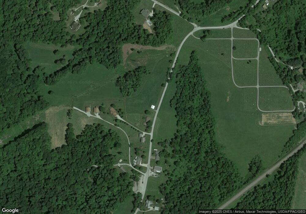
Map
Nearby Homes
- 331 Front St
- 101 Willow St
- 208 Maple Ave
- 121 Maple Ave
- 224 N Main St
- 319 N Main St
- 201 Pear Unit Lot23
- 201 Pear Unit 21
- 201 Pear Unit LOT 31
- 201 Pear Unit LOT 6
- 302 Judson St
- 40521 Badgersburg Rd
- 201 Brown St
- 0 National Rd
- 39991 National Rd
- 0 National Rd Unit 5154946
- 66164 Belmont Morristown Rd
- 185 Bethesda St
- 65855 Stone Ridge Dr
- 166 Bethesda St
- 39267 Old State Route 147
- 39271 Old State Route 147
- 39240 Old State Route 147
- 39215 Old State Route 147
- 39211 Twp 147
- 39213 Old State Route 147
- 39130 Old State Route 147
- 63530 N Johnson Rd
- 0 Old State Route 147
- 63672 N Johnson Rd
- 39023 Old State Route 147
- 63597 N Johnson Rd
- 63333 S Johnson Rd
- 63321 S Johnson Rd
- 63351 S Johnson Rd
- 39420 Barnesville Bethesda Rd
- 39600 Old State Route 147
- 39021 Old State Route 147
- 39845 Barnesville Bethesda Rd
- 39019 Old State Route 147