Estimated Value: $194,000 - $222,000
3
Beds
2
Baths
1,528
Sq Ft
$136/Sq Ft
Est. Value
About This Home
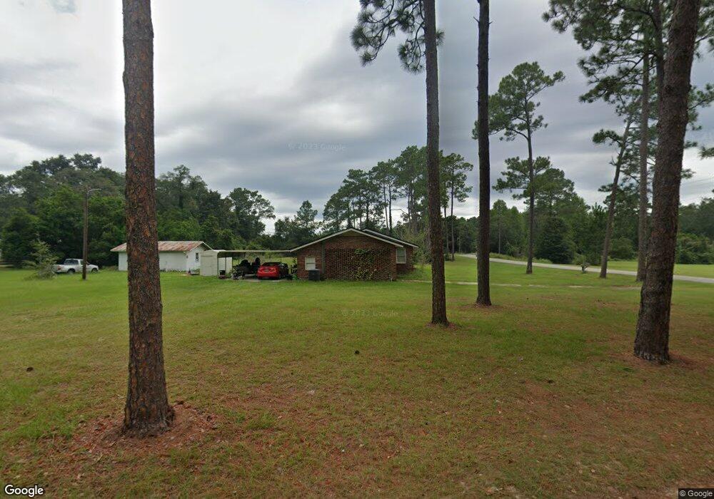
This home is located at 393 Anderson Dr, Jesup, GA 31545 and is currently estimated at $207,724, approximately $135 per square foot. 393 Anderson Dr is a home located in Wayne County with nearby schools including Jesup Elementary School, Arthur Williams Middle School, and Wayne County High School.
Ownership History
Date
Name
Owned For
Owner Type
Purchase Details
Closed on
Jan 13, 2009
Sold by
Elliott Robert Eugene
Bought by
Rickenbaugh Susan
Current Estimated Value
Purchase Details
Closed on
May 24, 2005
Sold by
Lewis Roger Paula
Bought by
Rickenbaugh Susan
Home Financials for this Owner
Home Financials are based on the most recent Mortgage that was taken out on this home.
Original Mortgage
$91,200
Interest Rate
5.69%
Mortgage Type
New Conventional
Purchase Details
Closed on
Jun 1, 1987
Purchase Details
Closed on
Jul 1, 1985
Create a Home Valuation Report for This Property
The Home Valuation Report is an in-depth analysis detailing your home's value as well as a comparison with similar homes in the area
Home Values in the Area
Average Home Value in this Area
Purchase History
| Date | Buyer | Sale Price | Title Company |
|---|---|---|---|
| Rickenbaugh Susan | -- | -- | |
| Rickenbaugh Susan | $91,200 | -- | |
| -- | $43,000 | -- | |
| -- | -- | -- |
Source: Public Records
Mortgage History
| Date | Status | Borrower | Loan Amount |
|---|---|---|---|
| Previous Owner | Rickenbaugh Susan | $91,200 |
Source: Public Records
Tax History Compared to Growth
Tax History
| Year | Tax Paid | Tax Assessment Tax Assessment Total Assessment is a certain percentage of the fair market value that is determined by local assessors to be the total taxable value of land and additions on the property. | Land | Improvement |
|---|---|---|---|---|
| 2024 | $1,493 | $61,364 | $6,653 | $54,711 |
| 2023 | $1,641 | $54,712 | $6,653 | $48,059 |
| 2022 | $1,272 | $45,400 | $6,653 | $38,747 |
| 2021 | $1,113 | $38,015 | $6,653 | $31,362 |
| 2020 | $1,152 | $38,015 | $6,653 | $31,362 |
| 2019 | $1,186 | $38,015 | $6,653 | $31,362 |
| 2018 | $1,186 | $38,015 | $6,653 | $31,362 |
| 2017 | $1,021 | $38,015 | $6,653 | $31,362 |
| 2016 | $988 | $38,015 | $6,653 | $31,362 |
| 2014 | $991 | $38,015 | $6,653 | $31,362 |
| 2013 | -- | $38,014 | $6,652 | $31,362 |
Source: Public Records
Map
Nearby Homes
- 105 N Bay St
- 0 Oak St
- 1270 Oak St
- 00 Dogwood Extension
- 369 E Shellcracker Rd
- 1 Altamaha Rd
- 80 Snapper Rd
- 0 Aspen Rd
- 147 Barn Road Cir
- 36 Barn Road Cir
- 2 Altamaha Rd
- 0 Shrine Club Rd Unit 163602
- 2606 Beechwood Dr
- 888 Altamaha Rd
- 2636 Beechwood Dr
- 2155 Savannah Hwy
- 629 Sierra Rd
- 24 Sangster Rd
- 50 Sangster Rd
- 2 Rayonier Rd
- 351 Anderson Dr
- 41 Southern Rd
- 336 Anderson Dr
- 22 Southern Rd
- 315 Anderson Dr
- 189 Dogwood Ave
- 219 Dogwood Ave
- 155 Dogwood Ave
- 265 Anderson Dr
- 511 Douglas Way
- 123 Dogwood Ave
- 10 Dallas Rd
- 491 Douglas Way
- 235 Anderson Dr
- 56 Dallas Rd
- 152 Dogwood Ave
- 500 Anderson Dr
- 214 Dogwood Ave
- 49 Smith St
- 219 Anderson Dr