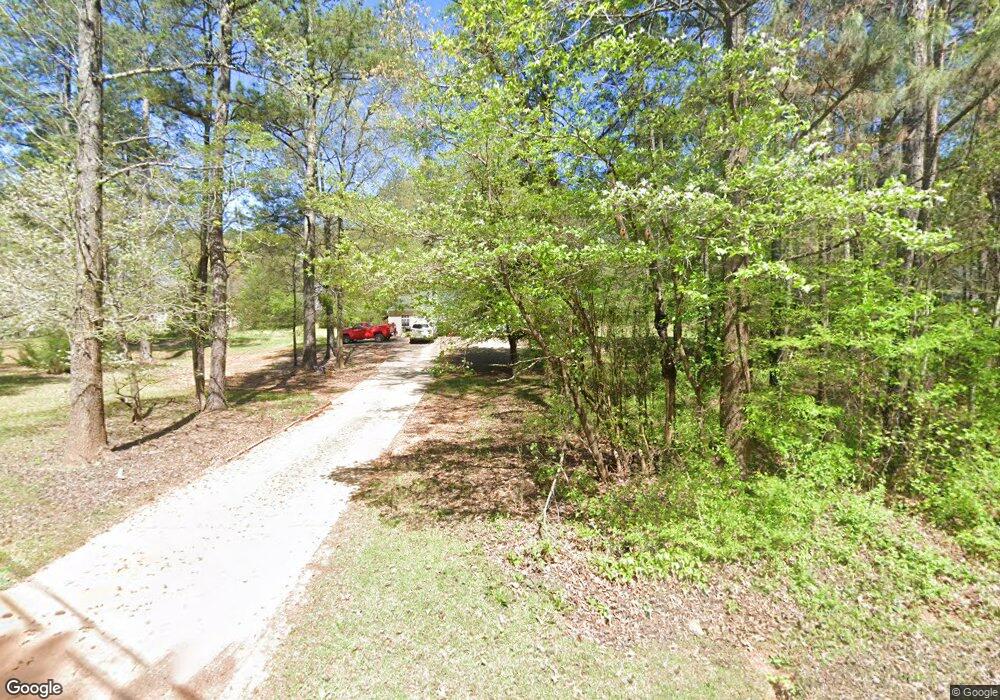
393 Covered Bridge Rd Unit 11 Covington, GA 30016
Estimated Value: $234,000 - $279,000
3
Beds
2
Baths
1,286
Sq Ft
$200/Sq Ft
Est. Value
About This Home
This home is located at 393 Covered Bridge Rd Unit 11, Covington, GA 30016 and is currently estimated at $256,723, approximately $199 per square foot. 393 Covered Bridge Rd Unit 11 is a home located in Newton County with nearby schools including Oak Hill Elementary School, Veterans Memorial Middle School, and Alcovy High School.
Ownership History
Date
Name
Owned For
Owner Type
Purchase Details
Closed on
Aug 30, 2016
Sold by
Wall Phillip L and Wall Sondra G
Bought by
Moses Donald
Current Estimated Value
Purchase Details
Closed on
Jul 1, 2013
Sold by
Glanton S M
Bought by
Wall Phillip L and Wall Sondra G
Purchase Details
Closed on
Nov 18, 2002
Sold by
Crumbie James B and Crumbie Terrie G
Bought by
Covered Bridge Rd Trust
Home Financials for this Owner
Home Financials are based on the most recent Mortgage that was taken out on this home.
Original Mortgage
$6,900
Interest Rate
5.95%
Create a Home Valuation Report for This Property
The Home Valuation Report is an in-depth analysis detailing your home's value as well as a comparison with similar homes in the area
Home Values in the Area
Average Home Value in this Area
Purchase History
| Date | Buyer | Sale Price | Title Company |
|---|---|---|---|
| Moses Donald | $107,900 | -- | |
| Wall Phillip L | -- | -- | |
| Covered Bridge Rd Trust | $11,900 | -- |
Source: Public Records
Mortgage History
| Date | Status | Borrower | Loan Amount |
|---|---|---|---|
| Previous Owner | Covered Bridge Rd Trust | $6,900 |
Source: Public Records
Tax History Compared to Growth
Tax History
| Year | Tax Paid | Tax Assessment Tax Assessment Total Assessment is a certain percentage of the fair market value that is determined by local assessors to be the total taxable value of land and additions on the property. | Land | Improvement |
|---|---|---|---|---|
| 2025 | $2,599 | $104,440 | $28,000 | $76,440 |
| 2024 | $2,371 | $93,600 | $18,480 | $75,120 |
| 2023 | $2,272 | $83,720 | $18,480 | $65,240 |
| 2022 | $1,902 | $70,080 | $18,480 | $51,600 |
| 2021 | $1,772 | $58,440 | $18,480 | $39,960 |
| 2020 | $1,567 | $46,640 | $12,600 | $34,040 |
| 2019 | $1,580 | $46,320 | $12,600 | $33,720 |
| 2018 | $1,522 | $44,320 | $12,600 | $31,720 |
| 2017 | $1,342 | $39,080 | $9,440 | $29,640 |
| 2016 | $1,279 | $37,240 | $9,440 | $27,800 |
| 2015 | $1,292 | $37,640 | $9,440 | $28,200 |
| 2014 | $890 | $26,000 | $0 | $0 |
Source: Public Records
Map
Nearby Homes
- 5506 Highway 81 S
- 120 Lummus Rd
- 4627 Highway 212
- 15 Granville Ln
- 115 Arthurs Ln
- 0 Highway 81 S Unit 7670352
- 160 Cross Rd
- 1062 Crown Landing Pkwy
- 230 Laurel Way
- 30 Laurel Way
- 85 Brittney Ln
- 1820 River Rd
- 195 Sampson Ct
- 25 Shadowbrook Ct
- 5618 Highway 212
- 6192 Highway 81 E
- 455 Bethany Rd
- 624 Bethany Rd
- 230 Great Gorge Pkwy
- 190 Shadowbrook Trace
- 393 Covered Bridge Rd
- 423 Covered Bridge Rd
- 373 Covered Bridge Rd
- 443 Covered Bridge Rd
- 378 Covered Bridge Rd
- 406 Covered Bridge Rd
- 491 Covered Bridge Rd
- 362 Covered Bridge Rd
- 420 Covered Bridge Rd
- 444 Covered Bridge Rd
- 310 Covered Bridge Rd
- 305 Covered Bridge Rd
- 464 Covered Bridge Rd
- 494 Covered Bridge Rd
- 498 Covered Bridge Rd
- 565 Covered Bridge Rd
- 544 Covered Bridge Rd
- 575 Covered Bridge Rd
- 671 Covered Bridge Rd
- 178 Covered Bridge Rd
