393 Drummond Rd West Point, GA 31833
Estimated Value: $80,000 - $102,000
--
Bed
--
Bath
--
Sq Ft
8.8
Acres
About This Home
This home is located at 393 Drummond Rd, West Point, GA 31833 and is currently estimated at $92,333. 393 Drummond Rd is a home located in Troup County with nearby schools including West Point Elementary School, Whitesville Road Elementary School, and Berta Weathersbee Elementary School.
Ownership History
Date
Name
Owned For
Owner Type
Purchase Details
Closed on
Sep 3, 2019
Sold by
Black Eva Mae
Bought by
Brewer John Stephen
Current Estimated Value
Purchase Details
Closed on
Apr 27, 2012
Sold by
Joiner John
Bought by
Brewer John Stephen
Purchase Details
Closed on
Feb 7, 2005
Sold by
Black Eva Mae
Bought by
Reeves Timothy S
Purchase Details
Closed on
Mar 25, 2004
Sold by
Ellis C Smith
Bought by
Black Eva Mae
Purchase Details
Closed on
Jan 14, 2004
Sold by
Ellis Caudle Smith
Bought by
Ellis C Smith
Purchase Details
Closed on
Nov 13, 2001
Sold by
Eva Mae Black
Bought by
Ellis Caudle Smith
Purchase Details
Closed on
Apr 19, 2001
Sold by
George Lewis Ferrell
Bought by
Eva Mae Black
Purchase Details
Closed on
Jul 14, 1992
Sold by
Alfonso Ferrell
Bought by
George Lewis Ferrell
Purchase Details
Closed on
Aug 27, 1991
Sold by
Alfonso Ferrell
Bought by
Alfonso Ferrell
Purchase Details
Closed on
Jan 1, 1952
Sold by
Alfonso R Ferrell
Bought by
Alfonso Ferrell
Create a Home Valuation Report for This Property
The Home Valuation Report is an in-depth analysis detailing your home's value as well as a comparison with similar homes in the area
Home Values in the Area
Average Home Value in this Area
Purchase History
| Date | Buyer | Sale Price | Title Company |
|---|---|---|---|
| Brewer John Stephen | $5,100 | -- | |
| Brewer John Stephen | $15,300 | -- | |
| Reeves Timothy S | $8,000 | -- | |
| Black Eva Mae | -- | -- | |
| Ellis C Smith | -- | -- | |
| Ellis Caudle Smith | -- | -- | |
| Eva Mae Black | -- | -- | |
| George Lewis Ferrell | -- | -- | |
| Alfonso Ferrell | $19,900 | -- | |
| Alfonso Ferrell | -- | -- |
Source: Public Records
Tax History Compared to Growth
Tax History
| Year | Tax Paid | Tax Assessment Tax Assessment Total Assessment is a certain percentage of the fair market value that is determined by local assessors to be the total taxable value of land and additions on the property. | Land | Improvement |
|---|---|---|---|---|
| 2024 | $290 | $10,640 | $10,640 | $0 |
| 2023 | $290 | $10,640 | $10,640 | $0 |
| 2022 | $297 | $10,640 | $10,640 | $0 |
| 2021 | $268 | $8,880 | $8,880 | $0 |
| 2020 | $268 | $8,880 | $8,880 | $0 |
| 2019 | $268 | $8,880 | $8,880 | $0 |
| 2018 | $268 | $8,880 | $8,880 | $0 |
| 2017 | $268 | $8,880 | $8,880 | $0 |
| 2016 | $269 | $8,908 | $8,908 | $0 |
| 2015 | $269 | $8,908 | $8,908 | $0 |
| 2014 | $270 | $8,908 | $8,908 | $0 |
| 2013 | -- | $8,908 | $8,908 | $0 |
Source: Public Records
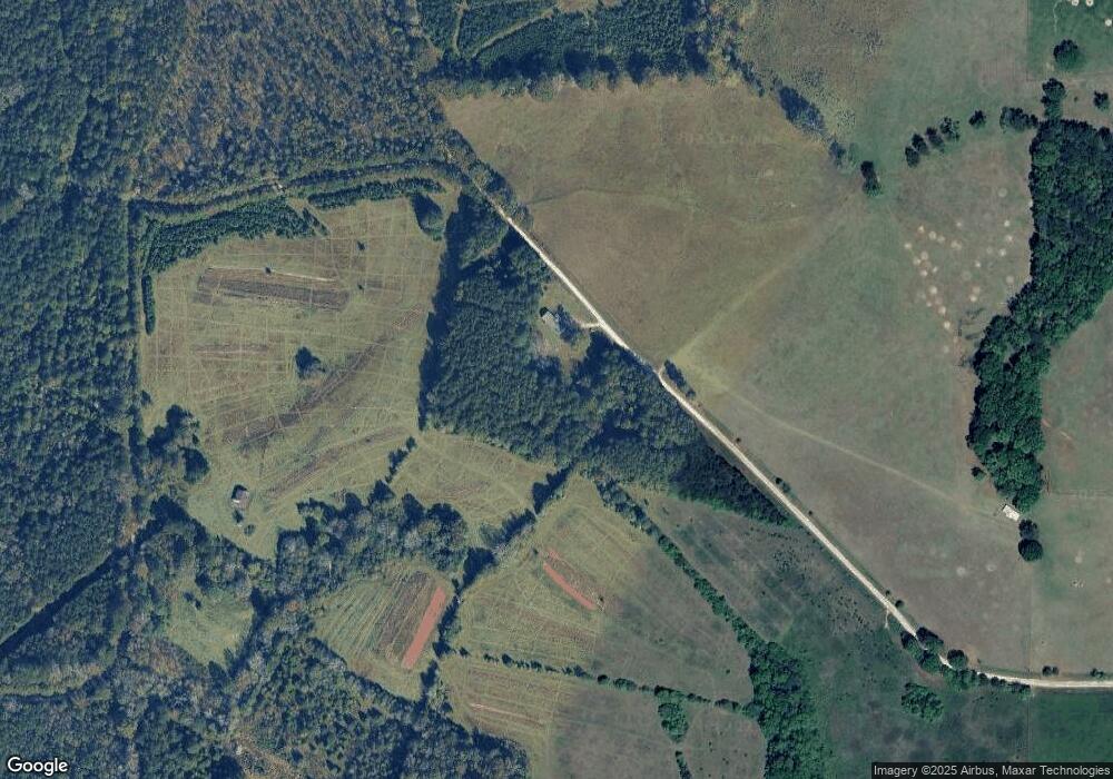
Map
Nearby Homes
- 143 W Drummond Rd
- 151 W Drummond Rd
- 157 W Drummond Rd
- 137 W Drummond Rd
- 131 W Drummond Rd
- 5191 Georgia 18
- 1550 Baughs Cross Rd
- 208 Harris Walk Unit 80
- 0 Shake Rag Rd Unit 23310609
- 0 Shake Rag Rd Unit TRACT 1 10492530
- 0 Shake Rag Rd Unit TRACT 2 10492533
- 0 Shake Rag Rd Unit TRACT 3 10492532
- 0 Shake Rag Rd Unit 23670261
- 1612 Dennis Smith Rd
- 311 Tomme Rd
- 333 Shoemaker Rd
- 4172 Bartley Rd
- 2067 Bartley Rd
- 8705 Ga Highway 18
- 8705 Georgia 18
- 148 Drummond Rd
- 0 Drummond Rd Unit 8263415
- 82 Drummond Rd
- 386 W Drummond Rd
- 6266 Whitesville Rd
- 6240 Whitesville Rd
- 6214 Whitesville Rd
- 6186 Whitesville Rd
- 6290 Whitesville Rd
- 6168 Whitesville Rd
- 6181 Whitesville Rd
- 290 W Drummond Rd
- 6221 Whitesville Rd
- 6221 Whitesville Rd
- 317 W Drummond Rd
- 288 W Drummond Rd
- 250 W Drummond Rd
- 287 W Drummond Rd
- 287 W Drummond Rd
- 242 W Drummond Rd Unit LOT 4