Estimated Value: $466,437 - $520,000
3
Beds
3
Baths
1,924
Sq Ft
$256/Sq Ft
Est. Value
About This Home
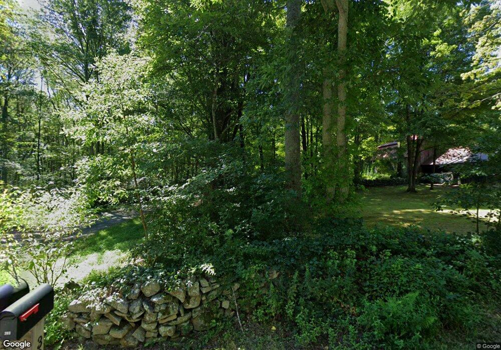
This home is located at 393 Forsyth Rd, Salem, CT 06420 and is currently estimated at $492,609, approximately $256 per square foot. 393 Forsyth Rd is a home located in New London County with nearby schools including Salem Elementary School.
Ownership History
Date
Name
Owned For
Owner Type
Purchase Details
Closed on
Dec 3, 2012
Sold by
Stephenson Leslie C
Bought by
Stephenson Scott S
Current Estimated Value
Home Financials for this Owner
Home Financials are based on the most recent Mortgage that was taken out on this home.
Original Mortgage
$224,730
Outstanding Balance
$155,366
Interest Rate
3.4%
Mortgage Type
New Conventional
Estimated Equity
$337,243
Purchase Details
Closed on
Mar 20, 2006
Sold by
Relocation Prudential
Bought by
Stepherson Scott Stanley and Stepherson Leslie
Purchase Details
Closed on
Jan 17, 2006
Sold by
Butera Philip and Pantazis-Butera Elisabeth
Bought by
Relocation Prudential
Purchase Details
Closed on
May 10, 2002
Sold by
Brewer Nancy
Bought by
Butera Philip and Butera Elizabeth
Create a Home Valuation Report for This Property
The Home Valuation Report is an in-depth analysis detailing your home's value as well as a comparison with similar homes in the area
Home Values in the Area
Average Home Value in this Area
Purchase History
| Date | Buyer | Sale Price | Title Company |
|---|---|---|---|
| Stephenson Scott S | -- | -- | |
| Stephenson Scott S | -- | -- | |
| Stepherson Scott Stanley | $305,000 | -- | |
| Stepherson Scott Stanley | $305,000 | -- | |
| Relocation Prudential | $322,500 | -- | |
| Prudential Relocation | $322,500 | -- | |
| Butera Philip | $269,000 | -- | |
| Butera Philip | $269,000 | -- |
Source: Public Records
Mortgage History
| Date | Status | Borrower | Loan Amount |
|---|---|---|---|
| Open | Butera Philip | $224,730 | |
| Closed | Butera Philip | $224,730 |
Source: Public Records
Tax History Compared to Growth
Tax History
| Year | Tax Paid | Tax Assessment Tax Assessment Total Assessment is a certain percentage of the fair market value that is determined by local assessors to be the total taxable value of land and additions on the property. | Land | Improvement |
|---|---|---|---|---|
| 2025 | $5,741 | $190,100 | $48,400 | $141,700 |
| 2024 | $5,570 | $190,100 | $48,400 | $141,700 |
| 2023 | $5,475 | $190,100 | $48,400 | $141,700 |
| 2022 | $5,475 | $190,100 | $48,400 | $141,700 |
| 2021 | $5,487 | $170,400 | $46,400 | $124,000 |
| 2020 | $5,487 | $170,400 | $46,400 | $124,000 |
| 2019 | $5,497 | $170,700 | $46,400 | $124,300 |
| 2018 | $5,497 | $170,700 | $46,400 | $124,300 |
| 2017 | $5,497 | $170,700 | $46,400 | $124,300 |
| 2016 | $5,738 | $181,000 | $50,800 | $130,200 |
| 2015 | $5,738 | $181,000 | $50,800 | $130,200 |
| 2014 | $5,629 | $181,000 | $50,800 | $130,200 |
Source: Public Records
Map
Nearby Homes
- 211 Forsyth Rd
- 89 Harris Road Extension
- 139 Forsyth Rd
- 113 Horse Pond Rd Unit B
- 485 Chapel Hill Rd
- 8 Eddy Ct
- 33A Laurel Point Dr
- 1578 Old Colchester Rd
- 53 Lake Dr
- 15 Forsyth Rd
- 33D Laurel Point Dr
- 27 Woodland Dr
- 21 Woodland Dr
- 156 Old Colchester Rd
- 3 Forsyth Rd
- 94 Massachusetts Rd
- 1300 Old Colchester Rd
- 52 Lake View Ave
- 385 Oxoboxo Dam Rd
- 169 Beckwith Hill Dr