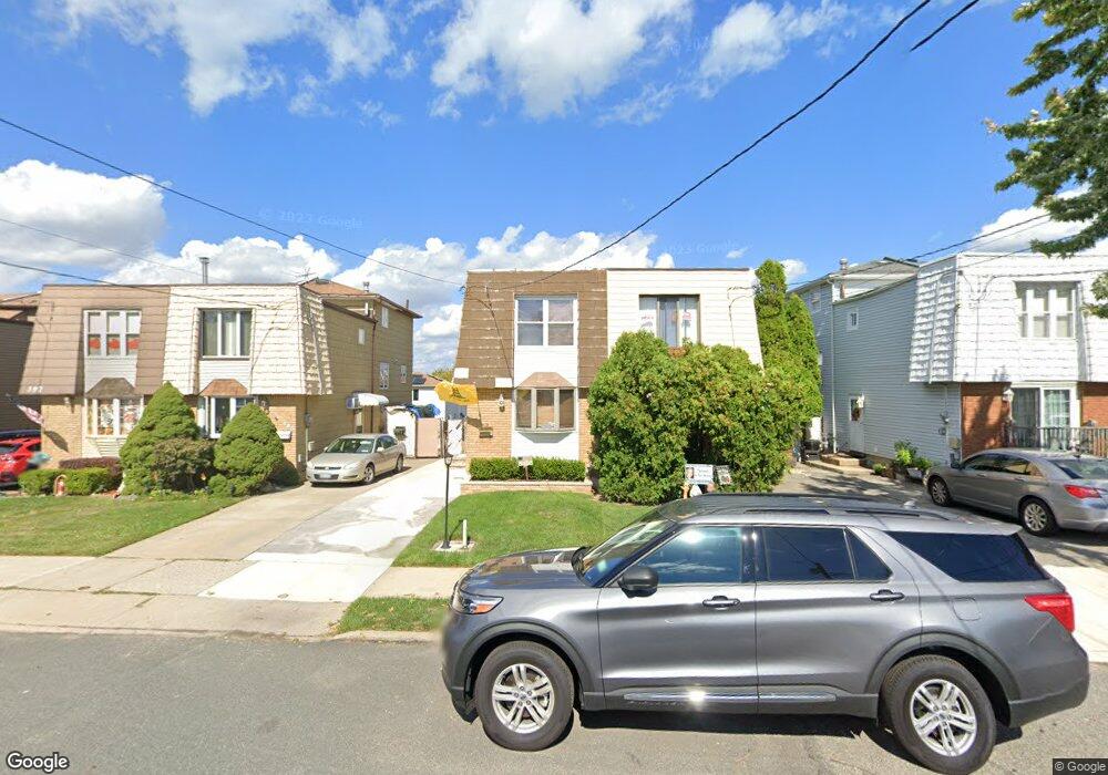
393 Leverett Ave Staten Island, NY 10308
Great Kills NeighborhoodEstimated Value: $701,782 - $743,000
3
Beds
2
Baths
1,600
Sq Ft
$451/Sq Ft
Est. Value
About This Home
This home is located at 393 Leverett Ave, Staten Island, NY 10308 and is currently estimated at $721,696, approximately $451 per square foot. 393 Leverett Ave is a home located in Richmond County with nearby schools including P.S. 32 The Gifford School, I.S. 075 Frank D. Paulo, and Susan E Wagner High School.
Ownership History
Date
Name
Owned For
Owner Type
Purchase Details
Closed on
Dec 11, 1997
Sold by
Cimilluca Sal J and Cimilluca Donna L
Bought by
Lovetro Anthony
Current Estimated Value
Home Financials for this Owner
Home Financials are based on the most recent Mortgage that was taken out on this home.
Original Mortgage
$157,900
Outstanding Balance
$26,360
Interest Rate
7.08%
Mortgage Type
FHA
Estimated Equity
$695,336
Create a Home Valuation Report for This Property
The Home Valuation Report is an in-depth analysis detailing your home's value as well as a comparison with similar homes in the area
Home Values in the Area
Average Home Value in this Area
Purchase History
| Date | Buyer | Sale Price | Title Company |
|---|---|---|---|
| Lovetro Anthony | $160,000 | First American Title Ins Co |
Source: Public Records
Mortgage History
| Date | Status | Borrower | Loan Amount |
|---|---|---|---|
| Open | Lovetro Anthony | $157,900 |
Source: Public Records
Tax History Compared to Growth
Tax History
| Year | Tax Paid | Tax Assessment Tax Assessment Total Assessment is a certain percentage of the fair market value that is determined by local assessors to be the total taxable value of land and additions on the property. | Land | Improvement |
|---|---|---|---|---|
| 2025 | $5,793 | $39,240 | $6,470 | $32,770 |
| 2024 | $5,805 | $37,860 | $6,326 | $31,534 |
| 2023 | $5,857 | $30,240 | $6,030 | $24,210 |
| 2022 | $5,462 | $34,560 | $7,920 | $26,640 |
| 2021 | $5,656 | $34,800 | $7,920 | $26,880 |
| 2020 | $5,358 | $33,960 | $7,920 | $26,040 |
| 2019 | $4,979 | $32,460 | $7,920 | $24,540 |
| 2018 | $4,839 | $25,200 | $7,594 | $17,606 |
| 2017 | $4,593 | $24,000 | $7,920 | $16,080 |
| 2016 | $4,407 | $23,595 | $7,728 | $15,867 |
| 2015 | $3,725 | $22,260 | $6,700 | $15,560 |
| 2014 | $3,725 | $21,000 | $7,260 | $13,740 |
Source: Public Records
Map
Nearby Homes
- 248 Abingdon Ave
- 37 E Stroud Ave
- 234 Brookfield Ave
- 360 Barlow Ave Unit 32
- 360 Barlow Ave Unit 12
- 919 Armstrong Ave
- 339 Abingdon Ave
- 223 Abingdon Ave
- 63 Genesee Ave
- 969 Armstrong Ave
- 96 Genesee Ave
- 510 Leverett Ave
- 57 Middle Loop Rd
- 271 Doane Ave
- 147 Cortelyou Ave Unit 2-3
- 538 Leverett Ave
- 270 Leverett Ave
- 151 Abingdon Ave
- 74 E Brandis Ave
- 88 Cortelyou Ave
- 395 Leverett Ave
- 391 Leverett Ave
- 397 Leverett Ave
- 389 Leverett Ave
- 399 Leverett Ave
- 387 Leverett Ave
- 401 Leverett Ave
- 385 Leverett Ave
- 12 E Reading Ave
- 14 E Reading Ave
- 10 E Reading Ave
- 18 E Reading Ave
- 403 Leverett Ave
- 8 E Reading Ave
- 20 E Reading Ave
- 383 Leverett Ave
- 6 E Reading Ave
- 405 Leverett Ave
- 24 E Reading Ave
- 26 E Reading Ave