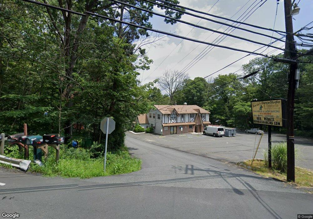
393 Maxim Dr Andover, NJ 07821
Estimated Value: $362,141
1
Bed
--
Bath
--
Sq Ft
0.51
Acres
About This Home
Property Id: 1403063
1 bedroom, 1 bathroom studio. No Kitchen. Microwave and refrigerator provided. SECOND FLOOR UNIT. Parking available. Available immediately. Tenant will be screened. Security deposit required. $50/month additional per person/per pet
Ownership History
Date
Name
Owned For
Owner Type
Purchase Details
Closed on
Jun 18, 2024
Sold by
16 Roosevelt Trl Llc and 16 Roosevelt Trail Llc
Bought by
16 Roosevelt Trl Llc
Current Estimated Value
Home Financials for this Owner
Home Financials are based on the most recent Mortgage that was taken out on this home.
Original Mortgage
$15,000
Outstanding Balance
$14,806
Interest Rate
6.94%
Mortgage Type
New Conventional
Purchase Details
Closed on
Dec 8, 2021
Sold by
Landolfi Realty Llc
Bought by
16Roosevelt Trail Llc
Home Financials for this Owner
Home Financials are based on the most recent Mortgage that was taken out on this home.
Original Mortgage
$179,000
Interest Rate
3.09%
Mortgage Type
New Conventional
Purchase Details
Closed on
Dec 20, 2006
Sold by
Robertson Craig
Bought by
Landolfi Realty Llc
Home Financials for this Owner
Home Financials are based on the most recent Mortgage that was taken out on this home.
Original Mortgage
$273,000
Interest Rate
6.24%
Mortgage Type
Commercial
Purchase Details
Closed on
Dec 18, 2002
Sold by
697 Bloomfield Avenue Inc
Bought by
Robertson Craig
Home Financials for this Owner
Home Financials are based on the most recent Mortgage that was taken out on this home.
Original Mortgage
$190,000
Interest Rate
8%
Mortgage Type
Commercial
Purchase Details
Closed on
Apr 19, 1996
Sold by
Untig Robert E
Bought by
697 Bloomfield Avenue Inc
Home Financials for this Owner
Home Financials are based on the most recent Mortgage that was taken out on this home.
Original Mortgage
$304,269
Interest Rate
7.82%
Mortgage Type
Commercial
Create a Home Valuation Report for This Property
The Home Valuation Report is an in-depth analysis detailing your home's value as well as a comparison with similar homes in the area
Home Values in the Area
Average Home Value in this Area
Purchase History
| Date | Buyer | Sale Price | Title Company |
|---|---|---|---|
| 16 Roosevelt Trl Llc | -- | Stewart Title | |
| 16 Roosevelt Trl Llc | -- | Stewart Title | |
| 16Roosevelt Trail Llc | $300,000 | Stewart Title Guaranty Company | |
| Landolfi Realty Llc | $497,500 | New Jersey Title Ins Co | |
| Robertson Craig | $275,000 | -- | |
| 697 Bloomfield Avenue Inc | -- | -- |
Source: Public Records
Mortgage History
| Date | Status | Borrower | Loan Amount |
|---|---|---|---|
| Open | 16 Roosevelt Trl Llc | $15,000 | |
| Closed | 16 Roosevelt Trl Llc | $15,000 | |
| Previous Owner | 16Roosevelt Trail Llc | $179,000 | |
| Previous Owner | Landolfi Realty Llc | $273,000 | |
| Previous Owner | Robertson Craig | $190,000 | |
| Previous Owner | 697 Bloomfield Avenue Inc | $304,269 |
Source: Public Records
Property History
| Date | Event | Price | List to Sale | Price per Sq Ft |
|---|---|---|---|---|
| 08/18/2025 08/18/25 | Off Market | $975 | -- | -- |
| 07/11/2025 07/11/25 | For Rent | $975 | 0.0% | -- |
| 05/20/2025 05/20/25 | Off Market | $975 | -- | -- |
| 04/16/2025 04/16/25 | For Rent | $975 | -- | -- |
Tax History Compared to Growth
Tax History
| Year | Tax Paid | Tax Assessment Tax Assessment Total Assessment is a certain percentage of the fair market value that is determined by local assessors to be the total taxable value of land and additions on the property. | Land | Improvement |
|---|---|---|---|---|
| 2025 | $13,667 | $655,500 | $206,500 | $449,000 |
| 2024 | $13,996 | $655,500 | $206,500 | $449,000 |
| 2023 | $13,996 | $400,000 | $137,700 | $262,300 |
| 2022 | $13,720 | $400,000 | $137,700 | $262,300 |
| 2021 | $14,739 | $437,100 | $137,700 | $299,400 |
| 2020 | $14,586 | $437,100 | $137,700 | $299,400 |
| 2019 | $14,525 | $437,100 | $137,700 | $299,400 |
| 2018 | $14,494 | $437,100 | $137,700 | $299,400 |
| 2017 | $14,472 | $437,100 | $137,700 | $299,400 |
| 2016 | $14,503 | $437,100 | $137,700 | $299,400 |
| 2015 | $14,175 | $437,100 | $137,700 | $299,400 |
| 2014 | $14,127 | $437,100 | $137,700 | $299,400 |
Source: Public Records
Map
Nearby Homes
- 354 Maxim Dr
- 34 Oklahoma Trail
- 9 Papoose Trail
- 14 Marshall Trail
- 66 Sutton Trail
- 23 Fordham Trail
- 4 Kansas Way
- 35 Mountain Trail
- 114 Rollins Trail
- 4 Bear Pond Trail
- 208 Maxim Dr
- 121 Bucknell Trail
- 207 Dupont Ave
- 8 Oneida Ave
- 2 Lincoln Trail
- 656 Lakeside Ave
- 736 Brooklyn Mountain Rd
- 4 Northwestern Trail
- 496 River Styx Rd
- 38 W River Styx Rd