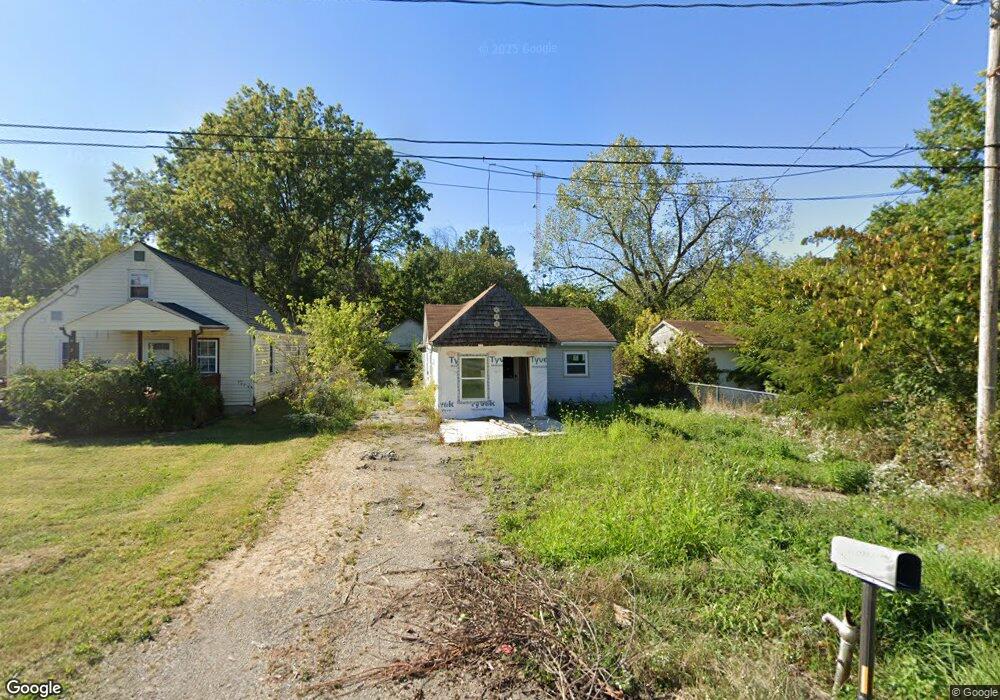
3930 Dunton Rd Lorain, OH 44055
Estimated Value: $55,000 - $144,000
2
Beds
1
Bath
960
Sq Ft
$93/Sq Ft
Est. Value
About This Home
This home is located at 3930 Dunton Rd, Lorain, OH 44055 and is currently estimated at $89,224, approximately $92 per square foot. 3930 Dunton Rd is a home located in Lorain County with nearby schools including Vincent Elementary School, Durling Middle School, and Clearview High School.
Ownership History
Date
Name
Owned For
Owner Type
Purchase Details
Closed on
Mar 21, 2022
Sold by
Merritt Jennifer L and Merritt Dominic D
Bought by
Weese Johnny
Current Estimated Value
Purchase Details
Closed on
Aug 17, 2021
Sold by
Arbogast John H and Arbogast Bobrie
Bought by
Merritt Jennifer L and Merritt Dominic D
Purchase Details
Closed on
Apr 9, 2001
Sold by
Arbogast Johnny H and Arbogast John H
Bought by
Arbogast John H and Arbogast Bobrie
Home Financials for this Owner
Home Financials are based on the most recent Mortgage that was taken out on this home.
Original Mortgage
$39,000
Interest Rate
7.05%
Create a Home Valuation Report for This Property
The Home Valuation Report is an in-depth analysis detailing your home's value as well as a comparison with similar homes in the area
Home Values in the Area
Average Home Value in this Area
Purchase History
| Date | Buyer | Sale Price | Title Company |
|---|---|---|---|
| Weese Johnny | -- | Bradley Sam R | |
| Merritt Jennifer L | $15,000 | None Available | |
| Arbogast John H | -- | -- |
Source: Public Records
Mortgage History
| Date | Status | Borrower | Loan Amount |
|---|---|---|---|
| Previous Owner | Arbogast John H | $39,000 |
Source: Public Records
Tax History
| Year | Tax Paid | Tax Assessment Tax Assessment Total Assessment is a certain percentage of the fair market value that is determined by local assessors to be the total taxable value of land and additions on the property. | Land | Improvement |
|---|---|---|---|---|
| 2024 | $970 | $21,518 | $3,290 | $18,228 |
| 2023 | $779 | $13,601 | $2,464 | $11,137 |
| 2022 | $798 | $13,601 | $2,464 | $11,137 |
| 2021 | $830 | $13,601 | $2,464 | $11,137 |
| 2020 | $765 | $11,880 | $2,150 | $9,730 |
| 2019 | $761 | $11,880 | $2,150 | $9,730 |
| 2018 | $764 | $11,880 | $2,150 | $9,730 |
| 2017 | $997 | $14,300 | $1,480 | $12,820 |
| 2016 | $1,007 | $14,300 | $1,480 | $12,820 |
| 2015 | $1,008 | $14,300 | $1,480 | $12,820 |
| 2014 | $422 | $15,000 | $1,550 | $13,450 |
| 2013 | $418 | $15,000 | $1,550 | $13,450 |
Source: Public Records
Map
Nearby Homes
- 4137 Dunton Rd
- 4400 Dunton Rd
- 3538 Albany Ave
- 3442 Albany Ave
- 3825 Canton Ave
- 1685 E 36th St
- 3521 Omaha Ave
- 3323 Dallas Ave
- 0 Canton Ave
- 1743 E 36th St
- 4095 Laurel Rd
- 4452 Clifton Ave
- V/L Pearl Ave
- 491 E 39th St
- 1816 E 34th St
- 4177 Broadway
- 1829 E 33rd St
- 3177 Elyria Ave
- 4210 Seneca Ave
- 3011 Caroline Ave
Your Personal Tour Guide
Ask me questions while you tour the home.