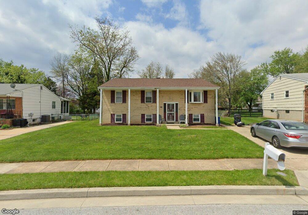
3930 Sybil Rd Randallstown, MD 21133
Estimated Value: $320,000 - $400,000
Studio
3
Baths
1,320
Sq Ft
$276/Sq Ft
Est. Value
About This Home
This home is located at 3930 Sybil Rd, Randallstown, MD 21133 and is currently estimated at $364,852, approximately $276 per square foot. 3930 Sybil Rd is a home located in Baltimore County with nearby schools including Winand Elementary School, Northwest Academy of Health Sciences, and Randallstown High School.
Ownership History
Date
Name
Owned For
Owner Type
Purchase Details
Closed on
Apr 14, 2020
Sold by
Burton Sherree and Burton Pierre V
Bought by
Burton Sherree
Current Estimated Value
Home Financials for this Owner
Home Financials are based on the most recent Mortgage that was taken out on this home.
Original Mortgage
$216,000
Outstanding Balance
$191,710
Interest Rate
3.5%
Mortgage Type
New Conventional
Estimated Equity
$173,142
Purchase Details
Closed on
May 8, 2001
Sold by
Krinsky Michael L
Bought by
Burton Pierre and Burton Sheree A
Purchase Details
Closed on
Jun 27, 1978
Sold by
Blibaum Samuel
Bought by
Krinsky Michael L
Create a Home Valuation Report for This Property
The Home Valuation Report is an in-depth analysis detailing your home's value as well as a comparison with similar homes in the area
Home Values in the Area
Average Home Value in this Area
Purchase History
| Date | Buyer | Sale Price | Title Company |
|---|---|---|---|
| Burton Sherree | -- | None Available | |
| Burton Pierre | $119,000 | -- | |
| Krinsky Michael L | $60,000 | -- |
Source: Public Records
Mortgage History
| Date | Status | Borrower | Loan Amount |
|---|---|---|---|
| Open | Burton Sherree | $216,000 |
Source: Public Records
Tax History Compared to Growth
Tax History
| Year | Tax Paid | Tax Assessment Tax Assessment Total Assessment is a certain percentage of the fair market value that is determined by local assessors to be the total taxable value of land and additions on the property. | Land | Improvement |
|---|---|---|---|---|
| 2025 | $4,901 | $300,067 | -- | -- |
| 2024 | $4,901 | $278,100 | $74,700 | $203,400 |
| 2023 | $1,781 | $261,567 | $0 | $0 |
| 2022 | $3,490 | $245,033 | $0 | $0 |
| 2021 | $3,108 | $228,500 | $56,700 | $171,800 |
| 2020 | $3,570 | $225,167 | $0 | $0 |
| 2019 | $2,689 | $221,833 | $0 | $0 |
| 2018 | $2,990 | $218,500 | $56,700 | $161,800 |
| 2017 | $2,756 | $202,100 | $0 | $0 |
| 2016 | $2,576 | $185,700 | $0 | $0 |
| 2015 | $2,576 | $169,300 | $0 | $0 |
| 2014 | $2,576 | $169,300 | $0 | $0 |
Source: Public Records
Map
Nearby Homes
- 8802 Falcon Ridge Dr
- 3950 Chaffey Rd
- 8829 Sigrid Rd
- 5 Windy Meadow Ct
- 4226 Huntshire Rd
- 4210 Mary Ridge Dr
- 8541 Lucerne Rd
- 28 Sunrise Ct
- 1205/99 Winands Rd
- 9012 Allenswood Rd
- 3729 Offutt Rd
- 9110 Meadow Heights Rd
- 9112 Meadow Heights Rd
- 8809 Stone Ridge Cir Unit 204
- 4228 Brookside Oaks
- 8803 Stone Ridge Cir Unit 301
- 8801 Stone Ridge Cir Unit T-2
- 9104 Marlove Oaks Ln
- 9130 Marlove Oaks Ln
- 3603 Fieldstone Rd