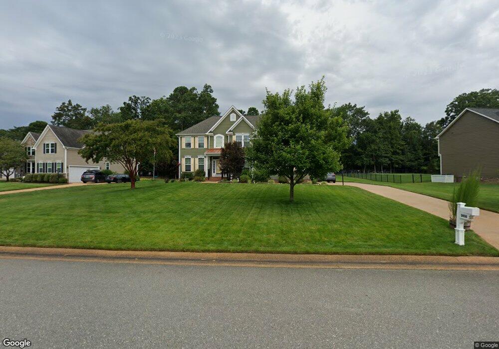
3930 Thorngate Dr Williamsburg, VA 23188
Greensprings NeighborhoodEstimated Value: $822,000 - $961,000
5
Beds
6
Baths
4,031
Sq Ft
$224/Sq Ft
Est. Value
About This Home
This home is located at 3930 Thorngate Dr, Williamsburg, VA 23188 and is currently estimated at $904,531, approximately $224 per square foot. 3930 Thorngate Dr is a home located in James City County with nearby schools including Matoaka Elementary School, Lois Hornsby Middle School, and Jamestown High School.
Ownership History
Date
Name
Owned For
Owner Type
Purchase Details
Closed on
Apr 10, 2013
Sold by
Nvr Inc
Bought by
Viniard Samuel
Current Estimated Value
Home Financials for this Owner
Home Financials are based on the most recent Mortgage that was taken out on this home.
Original Mortgage
$507,250
Outstanding Balance
$358,439
Interest Rate
3.57%
Mortgage Type
VA
Estimated Equity
$546,092
Create a Home Valuation Report for This Property
The Home Valuation Report is an in-depth analysis detailing your home's value as well as a comparison with similar homes in the area
Home Values in the Area
Average Home Value in this Area
Purchase History
| Date | Buyer | Sale Price | Title Company |
|---|---|---|---|
| Viniard Samuel | $554,049 | -- |
Source: Public Records
Mortgage History
| Date | Status | Borrower | Loan Amount |
|---|---|---|---|
| Open | Viniard Samuel | $507,250 |
Source: Public Records
Tax History Compared to Growth
Tax History
| Year | Tax Paid | Tax Assessment Tax Assessment Total Assessment is a certain percentage of the fair market value that is determined by local assessors to be the total taxable value of land and additions on the property. | Land | Improvement |
|---|---|---|---|---|
| 2025 | $5,044 | $847,900 | $130,400 | $717,500 |
| 2024 | $5,044 | $847,900 | $130,400 | $717,500 |
| 2023 | $5,044 | $697,900 | $105,800 | $592,100 |
| 2022 | $2,313 | $697,900 | $105,800 | $592,100 |
| 2021 | $5,044 | $600,500 | $105,800 | $494,700 |
| 2020 | $5,044 | $600,500 | $105,800 | $494,700 |
| 2019 | $4,948 | $589,100 | $94,400 | $494,700 |
| 2018 | $4,948 | $589,100 | $94,400 | $494,700 |
| 2017 | $4,948 | $589,100 | $94,400 | $494,700 |
| 2016 | $4,948 | $589,100 | $94,400 | $494,700 |
| 2015 | $2,313 | $550,700 | $94,400 | $456,300 |
| 2014 | $4,240 | $550,700 | $94,400 | $456,300 |
Source: Public Records
Map
Nearby Homes
- 3783 Brick Bat Rd
- 3215 Westover Ridge
- 4023 Thorngate Dr
- 3664 Brick Bat Rd
- 4123 Longview Landing
- 4151 Longview Landing
- 3831 Philip Ludwell
- 3840 Philip Ludwell
- 3913 Philip Ludwell
- 3541 Frances Berkeley
- 2801 Ann Johnson Ln
- 3017 Margaret Jones Ln
- 2805 Ann Johnson Ln
- 3025 John Vaughan Rd
- 2709 Wingfield Close
- 3510 Rannock Moor
- 2841 Bennetts Pond Rd
- 3934 Thorngate Dr
- 3926 Thorngate Dr
- 3922 Thorngate Dr
- 3938 Thorngate Dr
- 3947 Thorngate Dr
- 3951 Thorngate Dr
- 3939 Thorngate Dr
- 3918 Thorngate Dr
- 3943 Thorngate Dr
- 3935 Thorngate Dr
- 3942 Thorngate Dr
- 3931 Thorngate Dr
- 3927 Thorngate Dr
- 3798 Brick Bat Rd
- 3923 Thorngate Dr
- 3820 Brick Bat Rd
- 3919 Thorngate Dr
- 3830 Brick Bat Rd
- 3800 Brick Bat Rd
- 3915 Thorngate Dr