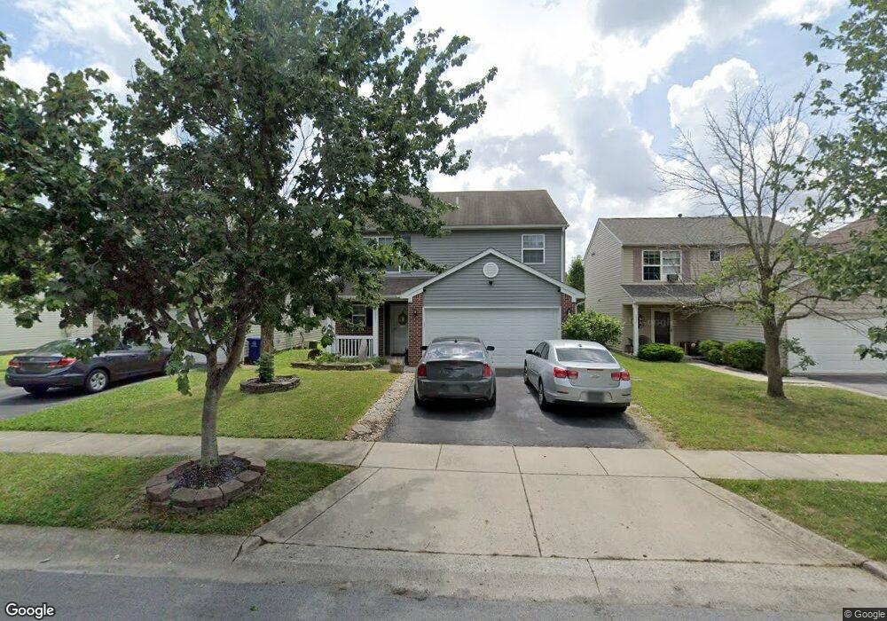
3931 Rosette Dr Grove City, OH 43123
Estimated Value: $275,000 - $310,000
3
Beds
3
Baths
1,746
Sq Ft
$171/Sq Ft
Est. Value
About This Home
This home is located at 3931 Rosette Dr, Grove City, OH 43123 and is currently estimated at $299,289, approximately $171 per square foot. 3931 Rosette Dr is a home located in Franklin County with nearby schools including Georgian Heights Alt Elementary School, Wedgewood Middle School, and Briggs High School.
Ownership History
Date
Name
Owned For
Owner Type
Purchase Details
Closed on
Nov 1, 2016
Sold by
Michael Patrick T
Bought by
H & O Properties Llc
Current Estimated Value
Purchase Details
Closed on
Nov 29, 2004
Sold by
Crossmann Communities Of Ohio Inc
Bought by
Michael Patrick T
Home Financials for this Owner
Home Financials are based on the most recent Mortgage that was taken out on this home.
Original Mortgage
$143,490
Interest Rate
5.71%
Mortgage Type
FHA
Create a Home Valuation Report for This Property
The Home Valuation Report is an in-depth analysis detailing your home's value as well as a comparison with similar homes in the area
Home Values in the Area
Average Home Value in this Area
Purchase History
| Date | Buyer | Sale Price | Title Company |
|---|---|---|---|
| H & O Properties Llc | $105,400 | None Available | |
| Michael Patrick T | $144,700 | Lawyers Tit |
Source: Public Records
Mortgage History
| Date | Status | Borrower | Loan Amount |
|---|---|---|---|
| Previous Owner | Michael Patrick T | $143,490 |
Source: Public Records
Tax History Compared to Growth
Tax History
| Year | Tax Paid | Tax Assessment Tax Assessment Total Assessment is a certain percentage of the fair market value that is determined by local assessors to be the total taxable value of land and additions on the property. | Land | Improvement |
|---|---|---|---|---|
| 2024 | $4,259 | $92,930 | $23,630 | $69,300 |
| 2023 | $4,206 | $92,925 | $23,625 | $69,300 |
| 2022 | $3,205 | $60,310 | $7,460 | $52,850 |
| 2021 | $3,211 | $60,310 | $7,460 | $52,850 |
| 2020 | $3,216 | $60,310 | $7,460 | $52,850 |
| 2019 | $2,814 | $45,260 | $5,740 | $39,520 |
| 2018 | $2,536 | $45,260 | $5,740 | $39,520 |
| 2017 | $2,929 | $45,260 | $5,740 | $39,520 |
| 2016 | $2,493 | $37,630 | $7,110 | $30,520 |
| 2015 | $2,263 | $37,630 | $7,110 | $30,520 |
| 2014 | $2,268 | $37,630 | $7,110 | $30,520 |
| 2013 | $1,244 | $41,825 | $7,910 | $33,915 |
Source: Public Records
Map
Nearby Homes
- 2081 Prominence Dr
- 3728 Miltonsburg Dr
- 3987 Mad River Rd
- 2155 Pentress Dr
- 2267 Holiday Valley Dr
- 4247 Unroe Ave
- 3711 Fountain Cove Ln
- 1966 Bay Port Dr
- 3819 Alkire Rd
- 3692 Fountain Cove Ln
- 2376 Boston Mills Dr
- 1751 Carrigallen Ln
- 4353 Alkire Rd
- 4378 Charleston Ridge Ct
- 1668 Kildare Place
- 3567 Alkire Rd
- 2345 Demorest Rd
- 3491 Cove Lake Ln
- 1842 Bashan Dr Unit 75F
- 1865 Bashan Dr Unit 78E
- 3925 Rosette Dr
- 3937 Rosette Dr
- 3943 Rosette Dr
- 3932 Genteel Dr
- 3932 Genteel Dr Unit AT114
- 3913 Rosette Dr
- 3949 Rosette Dr
- 3926 Genteel Dr
- 3938 Genteel Dr
- 3920 Genteel Dr
- 3944 Genteel Dr
- 3944 Genteel Dr Unit AP116
- 3907 Rosette Dr
- 3955 Rosette Dr
- 3914 Genteel Dr
- 3930 Rosette Dr
- 3950 Genteel Dr
- 3924 Rosette Dr
- 3936 Rosette Dr
- 3918 Rosette Dr