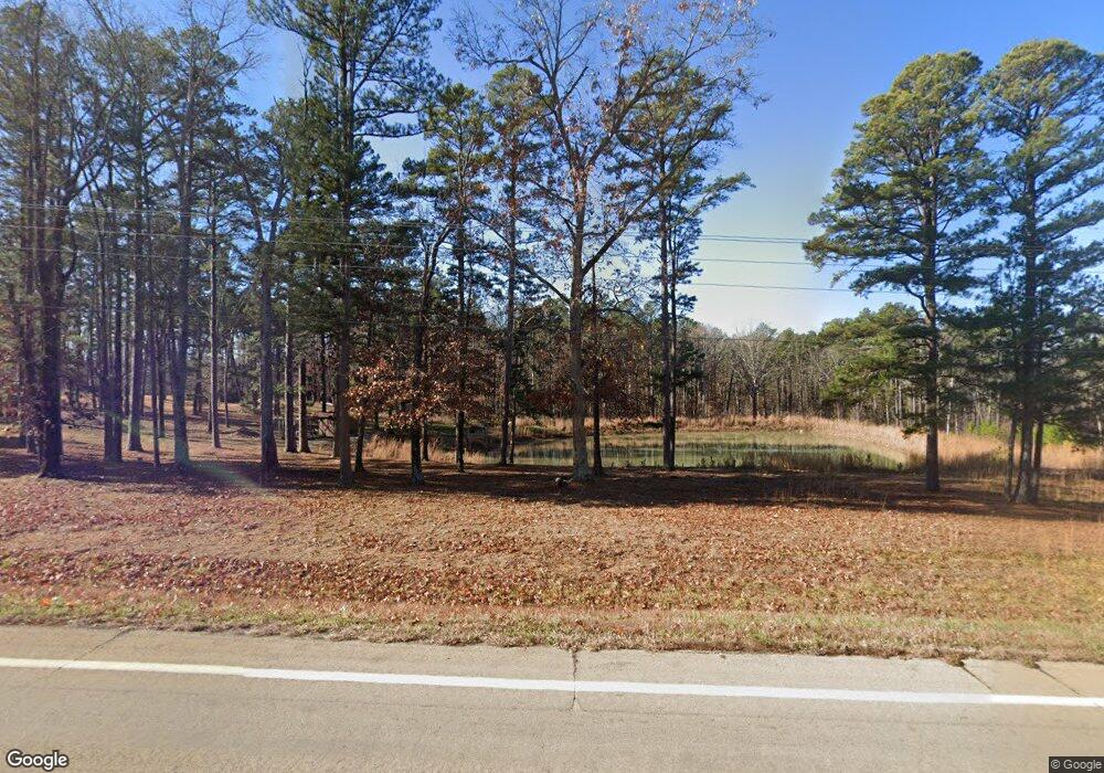
3931 State Highway 21 S Grandin, MO 63943
Estimated Value: $223,000 - $298,935
3
Beds
2
Baths
1,325
Sq Ft
$197/Sq Ft
Est. Value
About This Home
This home is located at 3931 State Highway 21 S, Grandin, MO 63943 and is currently estimated at $260,978, approximately $196 per square foot. 3931 State Highway 21 S is a home located in Carter County with nearby schools including East Carter County R-II Elementary School, East Carter County R-II Middle School, and East Carter County R-II High School.
Ownership History
Date
Name
Owned For
Owner Type
Purchase Details
Closed on
Jun 13, 2022
Sold by
Arndt David L and Arndt Debora
Bought by
Dow Shannon
Current Estimated Value
Home Financials for this Owner
Home Financials are based on the most recent Mortgage that was taken out on this home.
Original Mortgage
$269,200
Outstanding Balance
$256,692
Interest Rate
5.52%
Mortgage Type
Construction
Estimated Equity
$4,286
Create a Home Valuation Report for This Property
The Home Valuation Report is an in-depth analysis detailing your home's value as well as a comparison with similar homes in the area
Home Values in the Area
Average Home Value in this Area
Purchase History
| Date | Buyer | Sale Price | Title Company |
|---|---|---|---|
| Dow Shannon | $263,816 | Westcor Land Title Ins Co |
Source: Public Records
Mortgage History
| Date | Status | Borrower | Loan Amount |
|---|---|---|---|
| Open | Dow Shannon | $269,200 |
Source: Public Records
Tax History Compared to Growth
Tax History
| Year | Tax Paid | Tax Assessment Tax Assessment Total Assessment is a certain percentage of the fair market value that is determined by local assessors to be the total taxable value of land and additions on the property. | Land | Improvement |
|---|---|---|---|---|
| 2024 | $1,098 | $4,976 | $0 | $0 |
| 2023 | $1,100 | $4,976 | $0 | $0 |
| 2022 | $1,100 | $4,976 | $0 | $0 |
| 2021 | $1,706 | $7,537 | $0 | $0 |
| 2020 | $1,678 | $7,287 | $0 | $0 |
| 2019 | $1,609 | $38,350 | $0 | $0 |
| 2018 | $1,609 | $36,830 | $0 | $0 |
| 2017 | $1,583 | $36,830 | $0 | $0 |
| 2016 | $1,583 | $36,830 | $0 | $0 |
| 2015 | $1,472 | $36,830 | $5,560 | $31,270 |
| 2014 | $1,472 | $34,400 | $0 | $0 |
| 2011 | -- | $34,020 | $0 | $0 |
Source: Public Records
Map
Nearby Homes
- 201 5th St
- 606 6th St
- TBD Carter 247
- Tbd Carter 247 Lot Unit WP001
- 000 Carter 254
- 000 Nn Hwy
- 4117 Missouri 21
- 229 Carter 254
- 1743 Ripley Route Nn
- 0 Carter Route 266 Unit MAR24069627
- 0 Carter 266 Unit MAR24069629
- Tbd Carter 224
- TBD Carter 224
- Tbd Dogwood Ln
- TBD Dogwood Ln
- 0 Ripley Bb-2
- 20 W Broadway
- 31955 Us Highway 60
- 3874 State Hwy 21n
- 689 Hoot Owl Ln
- 937 Carter 265
- 32 Carter 254
- 2234 Carter 255
- 3931 State Highway 21 S
- 7080 Carter Route B
- 7080 Carter Route B
- 4294 Carter 251
- 1982 Carter 255
- 218 Carter 228 Unit 9936321
- 6130 State Highway 21 S
- 937 Carter 265 Unit 9932084
- 4113 State Highway 21 S Unit 9938990
- 701 W 5th St
- 140 Carter 244
- 0 Rt 2 Box 3967
- 311 W 3rd St
- 308 W 3rd St
- 308 W 3rd St
- 1001 Cherry St
- 7198 Ripley Route K Unit 9929069
