3932 Swallen Ave Louisville, OH 44641
Estimated Value: $265,000 - $329,000
4
Beds
2
Baths
1,668
Sq Ft
$172/Sq Ft
Est. Value
About This Home
This home is located at 3932 Swallen Ave, Louisville, OH 44641 and is currently estimated at $287,170, approximately $172 per square foot. 3932 Swallen Ave is a home located in Stark County with nearby schools including Louisville High School.
Ownership History
Date
Name
Owned For
Owner Type
Purchase Details
Closed on
Nov 13, 2015
Sold by
Fluharty Kay Ann and Fluharty William Alan
Bought by
Gilpin Debra J
Current Estimated Value
Purchase Details
Closed on
Feb 17, 2015
Sold by
Schmucker Lloyd W and Schmucker Friedegund
Bought by
Lloyd And Friedegund Schmucker Living Tr and Schmucker Lloyd W
Purchase Details
Closed on
May 10, 2006
Sold by
Troyer Edna A and Troyer Lyle K
Bought by
Schmucker Lloyd W and Bridges Velma M
Purchase Details
Closed on
Mar 24, 2006
Sold by
Schmucker Arline Leah
Bought by
Troyer Edna A and Bridges Velma M
Create a Home Valuation Report for This Property
The Home Valuation Report is an in-depth analysis detailing your home's value as well as a comparison with similar homes in the area
Home Values in the Area
Average Home Value in this Area
Purchase History
| Date | Buyer | Sale Price | Title Company |
|---|---|---|---|
| Gilpin Debra J | -- | None Available | |
| Lloyd And Friedegund Schmucker Living Tr | -- | None Available | |
| Schmucker Lloyd W | -- | None Available | |
| Troyer Edna A | -- | None Available |
Source: Public Records
Tax History Compared to Growth
Tax History
| Year | Tax Paid | Tax Assessment Tax Assessment Total Assessment is a certain percentage of the fair market value that is determined by local assessors to be the total taxable value of land and additions on the property. | Land | Improvement |
|---|---|---|---|---|
| 2025 | -- | $87,640 | $51,870 | $35,770 |
| 2024 | -- | $87,640 | $51,870 | $35,770 |
| 2023 | $1,859 | $66,120 | $42,880 | $23,240 |
| 2022 | $1,865 | $37,350 | $14,110 | $23,240 |
| 2021 | $1,870 | $37,350 | $14,110 | $23,240 |
| 2020 | $1,724 | $36,270 | $14,880 | $21,390 |
| 2019 | $1,732 | $36,270 | $14,880 | $21,390 |
| 2018 | $1,726 | $36,270 | $14,880 | $21,390 |
| 2017 | $1,720 | $34,490 | $16,460 | $18,030 |
| 2016 | $1,683 | $34,490 | $16,460 | $18,030 |
| 2015 | $1,688 | $34,490 | $16,460 | $18,030 |
| 2014 | $1,534 | $29,000 | $11,530 | $17,470 |
| 2013 | $771 | $29,000 | $11,530 | $17,470 |
Source: Public Records
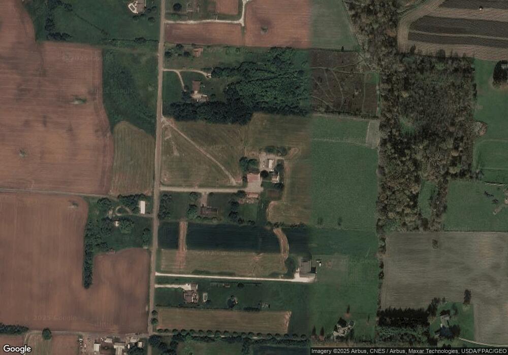
Map
Nearby Homes
- 2110 Edmar St
- 3390 Meese Rd NE
- 1812 E Broad St
- 2015 E Main St
- 1715 High St
- 641 S Nickelplate St
- 0 Michigan Blvd
- 5495 Meese Rd NE
- 308 Superior St
- 8225 Georgetown St
- 908 Sand Lot Cir
- 520 S Silver St
- 728 E Broad St
- 5765 Maplegrove St
- 1170 Winding Ridge Ave
- 510 S Bauman Ct
- 204 E Broad St
- 325 Lincoln Ave
- 910 Crosswyck Cir
- 107 E Broad St
- 3906 Swallen Ave
- 4030 Swallen Ave
- 3895 Swallen Ave
- 3860 Swallen Ave
- 3834 Swallen Ave
- 4088 Swallen Ave
- 3766 Swallen Ave
- 4130 Swallen Ave
- 4141 Swallen Ave
- 3725 Swallen Ave
- 4174 Swallen Ave
- 3710 Swallen Ave
- 3779 Maplegrove Ave
- 4258 Oakgrove St
- 4191 Swallen Ave
- 4065 Maplegrove Ave
- 3953 Maplegrove Ave
- 3683 Maplegrove Ave
- 3735 Maplegrove Ave
- 4242 Swallen Ave