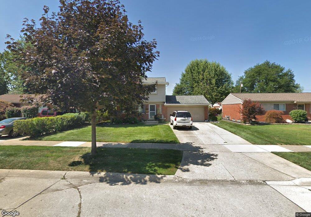
39335 Carrie Dr Sterling Heights, MI 48313
Estimated Value: $241,106 - $320,000
--
Bed
1
Bath
1,270
Sq Ft
$227/Sq Ft
Est. Value
About This Home
This home is located at 39335 Carrie Dr, Sterling Heights, MI 48313 and is currently estimated at $288,527, approximately $227 per square foot. 39335 Carrie Dr is a home located in Macomb County with nearby schools including Dekeyser Elementary School, Davis Junior High School, and Adlai Stevenson High School.
Ownership History
Date
Name
Owned For
Owner Type
Purchase Details
Closed on
Dec 13, 2005
Sold by
Nistor Thomas and Nistor Leana K
Bought by
Nistor Thomas A and Nistor Leana K
Current Estimated Value
Create a Home Valuation Report for This Property
The Home Valuation Report is an in-depth analysis detailing your home's value as well as a comparison with similar homes in the area
Home Values in the Area
Average Home Value in this Area
Purchase History
| Date | Buyer | Sale Price | Title Company |
|---|---|---|---|
| Nistor Thomas A | -- | None Available |
Source: Public Records
Tax History Compared to Growth
Tax History
| Year | Tax Paid | Tax Assessment Tax Assessment Total Assessment is a certain percentage of the fair market value that is determined by local assessors to be the total taxable value of land and additions on the property. | Land | Improvement |
|---|---|---|---|---|
| 2025 | $2,680 | $122,400 | $0 | $0 |
| 2024 | $2,451 | $113,500 | $0 | $0 |
| 2023 | $2,314 | $102,600 | $0 | $0 |
| 2022 | $2,412 | $94,000 | $0 | $0 |
| 2021 | $2,362 | $89,900 | $0 | $0 |
| 2020 | $2,107 | $83,400 | $0 | $0 |
| 2019 | $2,159 | $77,800 | $0 | $0 |
| 2018 | $2,185 | $69,400 | $0 | $0 |
| 2017 | $2,086 | $65,500 | $13,700 | $51,800 |
| 2016 | $2,015 | $65,500 | $0 | $0 |
| 2015 | -- | $62,300 | $0 | $0 |
| 2014 | -- | $54,800 | $0 | $0 |
Source: Public Records
Map
Nearby Homes
- 39123 Boston Dr
- 39044 Dodge Park Rd
- 39421 Farmhill Dr
- 11406 Plumridge Blvd
- 39239 Chantilly Dr
- 39275 Della Rosa Dr
- 39839 Utica Rd
- 11425 Plumbrook Rd
- 39846 Karola Dr
- 11118 Plumridge Blvd
- 39400 Utica Rd
- 12816 Kinlock Dr
- 11820 Creekview Dr Unit 54
- 39517 Balboa Dr
- 40649 Rinaldi Dr
- 13104 Carnaby Ct
- 8641 Alwardt Dr
- 8644 Independence Dr
- 38614 Arcola Dr
- 8716 Calvert Dr
- 39347 Carrie Dr
- 39323 Carrie Dr
- 39424 Burns Dr
- 39436 Burns Dr
- 39311 Carrie Dr
- 39371 Carrie Dr
- 39412 Burns Dr
- 39448 Burns Dr
- 39330 Carrie Dr
- 39400 Burns Dr
- 39346 Carrie Dr
- 39464 Burns Dr
- 39314 Carrie Dr Unit Bldg-Unit
- 39314 Carrie Dr
- 39387 Carrie Dr
- 39394 Carrie Dr
- 39480 Burns Dr
- 39362 Carrie Dr
- 39378 Carrie Dr
- 11738 de Clerck Dr