3934 Pfile Dr Rootstown, OH 44272
Estimated Value: $259,000 - $285,000
3
Beds
2
Baths
1,672
Sq Ft
$162/Sq Ft
Est. Value
About This Home
This home is located at 3934 Pfile Dr, Rootstown, OH 44272 and is currently estimated at $271,504, approximately $162 per square foot. 3934 Pfile Dr is a home located in Portage County with nearby schools including Rootstown Middle School - Schnee Building and Rootstown High School.
Ownership History
Date
Name
Owned For
Owner Type
Purchase Details
Closed on
Sep 2, 2025
Sold by
Wise Corey and Wise Nancy
Bought by
Wise Family Trust and Wise
Current Estimated Value
Purchase Details
Closed on
Mar 27, 2008
Sold by
Miller Evelyn V and Miller Family Revocable Living
Bought by
Wise Corey and Wise Nancy
Home Financials for this Owner
Home Financials are based on the most recent Mortgage that was taken out on this home.
Original Mortgage
$108,000
Interest Rate
5.93%
Mortgage Type
Purchase Money Mortgage
Purchase Details
Closed on
Mar 24, 1994
Bought by
Miller Robert W and Miller Evelyn
Create a Home Valuation Report for This Property
The Home Valuation Report is an in-depth analysis detailing your home's value as well as a comparison with similar homes in the area
Purchase History
| Date | Buyer | Sale Price | Title Company |
|---|---|---|---|
| Wise Family Trust | -- | None Listed On Document | |
| Wise Corey | $135,000 | Attorney | |
| Miller Robert W | -- | -- |
Source: Public Records
Mortgage History
| Date | Status | Borrower | Loan Amount |
|---|---|---|---|
| Previous Owner | Wise Corey | $108,000 |
Source: Public Records
Tax History
| Year | Tax Paid | Tax Assessment Tax Assessment Total Assessment is a certain percentage of the fair market value that is determined by local assessors to be the total taxable value of land and additions on the property. | Land | Improvement |
|---|---|---|---|---|
| 2025 | $3,441 | $82,850 | $8,930 | $73,920 |
| 2024 | $3,307 | $82,850 | $8,930 | $73,920 |
| 2023 | $2,764 | $61,710 | $7,840 | $53,870 |
| 2022 | $2,735 | $61,710 | $7,840 | $53,870 |
| 2021 | $2,738 | $61,710 | $7,840 | $53,870 |
| 2020 | $2,447 | $53,100 | $7,460 | $45,640 |
| 2019 | $2,455 | $53,100 | $7,460 | $45,640 |
| 2018 | $2,354 | $48,480 | $10,640 | $37,840 |
| 2017 | $2,354 | $48,480 | $10,640 | $37,840 |
| 2016 | $2,320 | $48,480 | $10,640 | $37,840 |
| 2015 | $2,347 | $48,480 | $10,640 | $37,840 |
| 2014 | $2,390 | $48,480 | $10,640 | $37,840 |
| 2013 | $2,374 | $48,480 | $10,640 | $37,840 |
Source: Public Records
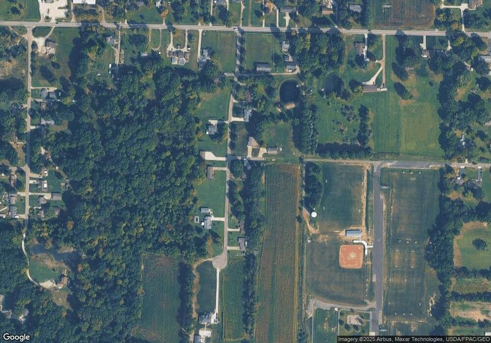
Map
Nearby Homes
- 4079 Siefer Dr
- 3689 Cherry Hill
- 4200 Hattrick Rd
- 3701 State Route 44
- 0 Lynn Rd Unit 5110102
- 4415 Farmette Dr
- V/L 2 Lynn Rd
- V/L Lynn Rd
- sub lot Lane Ave
- 3637 Old Forge Rd
- 3021 Hartville Rd
- 4556 Rootstown Rd
- 4087 Industry
- 4058 Bayberry Knoll Ln
- 4140 Sandy Lake Rd
- 5394 Juniper Ct
- 4958 Bassett Rd
- 3925 Summit Rd
- 524 Ohio Ave
- 1065 Shadowlawn Dr
- 3950 Pfile Dr
- 3933 Pfile Dr
- 3904 Pfile Dr
- 3961 Pfile Dr
- 3970 Pfile Dr
- 3907 Pfile Dr
- 3894 Pfile Dr
- 3984 Pfile Dr
- 3959 Pfile Dr
- 4578 Tallmadge Rd
- 4560 Tallmadge Rd
- 4540 Tallmadge Rd
- 4628 Tallmadge Rd
- 4648 Tallmadge Rd
- 4620 Tallmadge Rd
- 4522 Tallmadge Rd
- 4579 Tallmadge Rd
- 4573 Tallmadge Rd
- 4569 Tallmadge Rd
- 4561 Tallmadge Rd
Your Personal Tour Guide
Ask me questions while you tour the home.